Ulubione (0)
Koszyk
(0)
(0)
Brak produktów
Do ustalenia
Wysyłka
0,00 zł
Razem
Produkt dodany poprawnie do Twojego koszyka
Ilość
Razem
Ilość produktów w Twoim koszyku: 0.
Jest 1 produkt w Twoim koszyku.
Razem produkty:
Dostawa:
Do ustalenia
Razem
Fototapety na wymiar
-
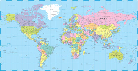
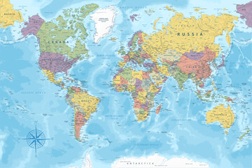
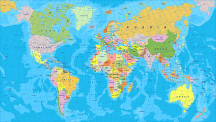 Kolorowa mapa świata - granice, kraje i miasta - ilustracja Bardzo szczegółowa kolorowa ilustracja wektorowa mapy świata.
 -
 Kolorowa mapa świata
 -
 mapa świata
 -
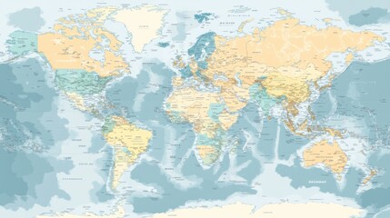 A vector map of the world with detailed country borders and labels, ideal for travel or educational purposes
 -
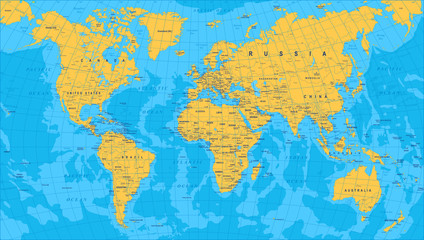
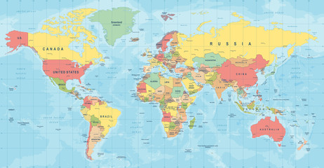
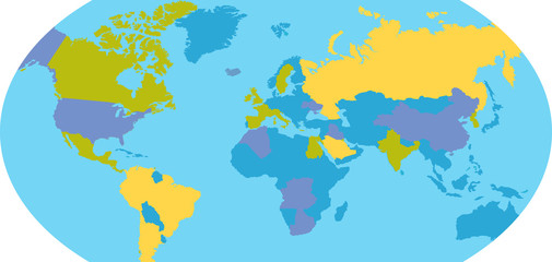
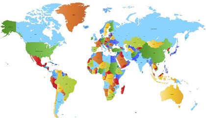
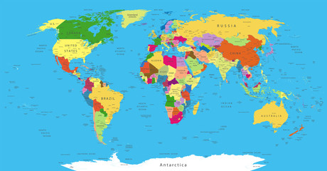
 World political vector detailed map in modern colors
 -
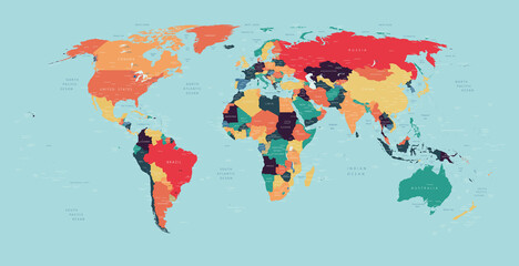
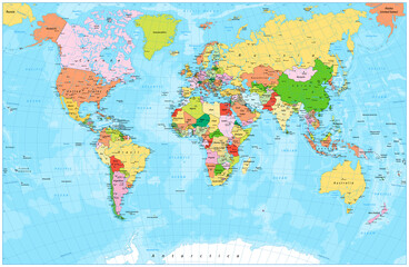
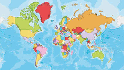 Highly detailed blank World Map vector illustration with different colors for each country. Editable and clearly labeled layers.
 -
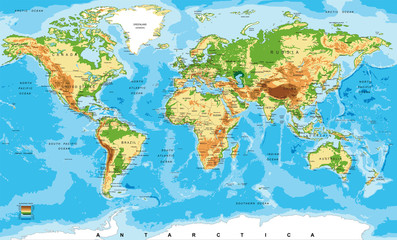 Physical map of the world
 -
 Mapa świata wektor Szczegółowa ilustracja mapy świata
 -
 Light Blue, Yellow vector layout with triangle forms.
 -
 World Map Vintage Political - Vector Detailed Illustration - Layers
 -
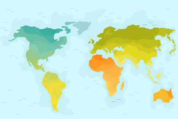 Vector illustrationof color world map for children. Continents America Europe Asia Africa
 -
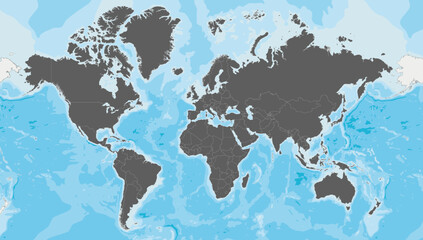 Highly detailed blank World Map vector illustration. Editable and clearly labeled layers.
 -
 Earth Globe Icon
 -
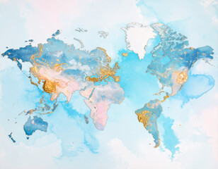 Dreamworld Map – Surreal Earth as Floating Puzzle Continents with Glowing Cities
 -
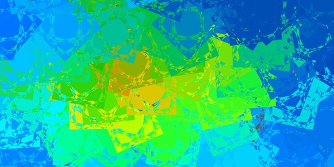
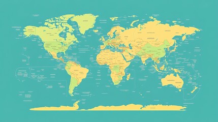
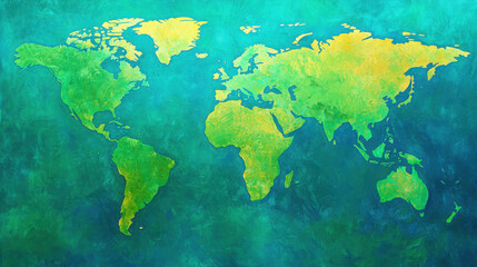 Vibrant Artistic World Map with Green and Yellow Tones on Blue Background
 -
 World map. Color vector modern. Silhouette map.
 -
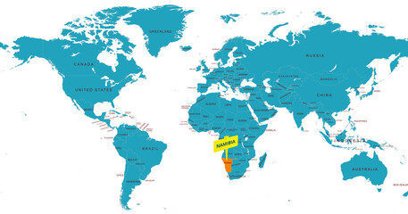 World Map Highlighting Country of Namibia With Geographic Details
 -
 World Map - Highly Detailed Colored Vector Map of the World. Ideally for the Print Posters.
 -
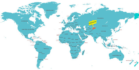 World Map Highlighting Country of Kyrgyzstan With Geographic Details
 -
 World Map Highlighting Country of Libya With Geographic Details
 -
 Detailed political world map with capitals, rivers and lakes
 -
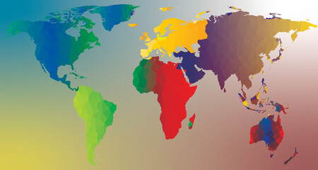 abstract world map
 -
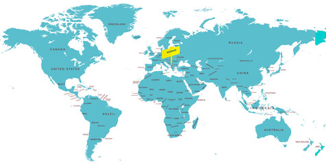
 A modern, flat world map illustration with clean lines and a simple design, ideal for educational purposes.
 -
 Polityczna mapa świata
 -
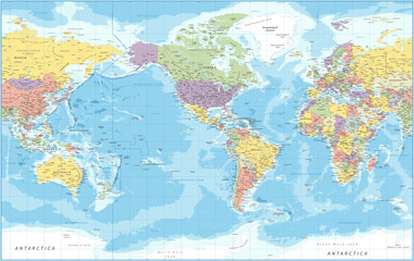 World Map - Political - American View - America in Center -Vector Detailed Illustration
 -
 World Map Highlighting Country of Kosovo With Geographic Details
 -
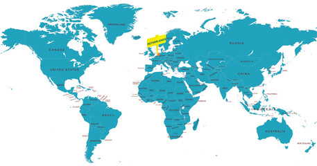 World Map Highlighting Country of Netherlands With Geographic Details
 -
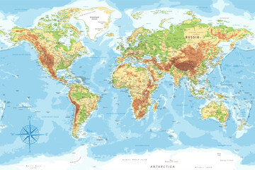 World Map - Highly Detailed Topographic Relief Vector Map of the World. Ideally for the Print Posters