Ulubione (0)
Koszyk
(0)
(0)
Brak produktów
Do ustalenia
Wysyłka
0,00 zł
Razem
Produkt dodany poprawnie do Twojego koszyka
Ilość
Razem
Ilość produktów w Twoim koszyku: 0.
Jest 1 produkt w Twoim koszyku.
Razem produkty:
Dostawa:
Do ustalenia
Razem
Fototapety na wymiar
-
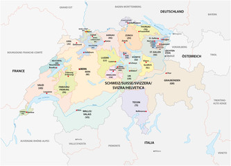 administrative and political vector map of switzerland
 -
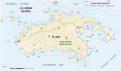 Vector map Saint john, US Virgin Islands
 -
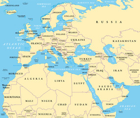 Europe, Middle East, and North Africa, political map with international borders. Overview of the continent Europe, the geopolitical region Middle East, and northern portion of the African continent.
 -
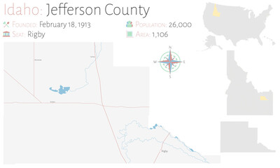 Large and detailed map of Jefferson county in Idaho, USA.
 -
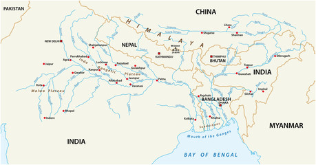 vector Map of the combined catchment areas of the Ganges, Brahmaputra and Meghna rivers
 -
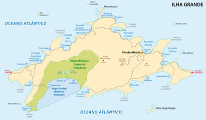 Ilha Grande map, brazil
 -
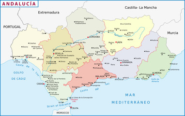 Andalusien
 -
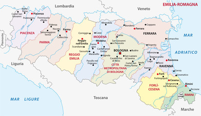 emilia-romagna administrative map
 -
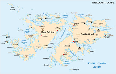 Falkland Islands, also Malvinas, political vector map
 -
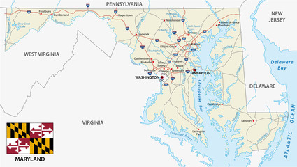 Maryland federal state road map with flag
 -
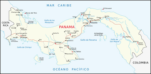 Panama
 -
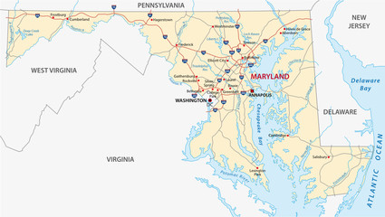 maryland road map
 -
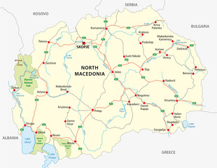 north macedonia road and national park vector map
 -
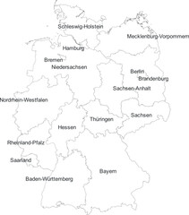 GERMANY MAP WITH DIVISIONS STATES DEPARTMENTS
 -
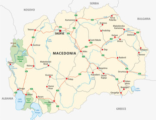 macedonia road and national park vector map
 -
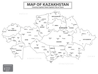 Geography politics map of countries. Map of country with capital, state capital and major city.
 -
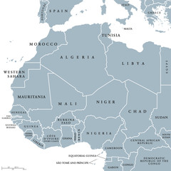 West Africa countries political map with national borders. English country names. Illustration. Gray illustration with English labeling and scaling on white background.
 -
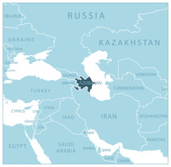 Azerbaijan - blue map with neighboring countries and names.
 -
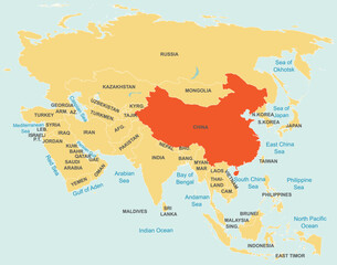 Highlighted red map of CHINA inside orange detailed tagged map of Asia using orthographic projection on blue background
 -
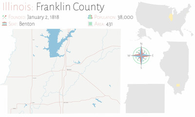 Map on an old playing card of Franklin county in Illinois, USA.
 -
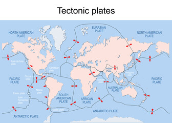 Map of Earth's principal tectonic plates.
 -
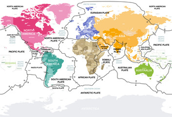 Tectonic plates on Earth's surface. World map with names of countries, continents, oceans, main seas and lakes. Vector illustration
 -
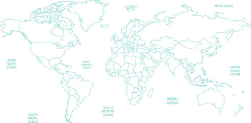 Outline World Map with Oceans Vector Illustration
 -
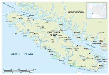 Vector map of the Canadian Pacific island of Vancouver Island
 -
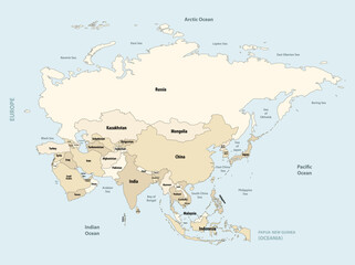 Asia political detailed vector map
 -
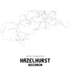 Hazelhurst Wisconsin. US street map with black and white lines.
 -
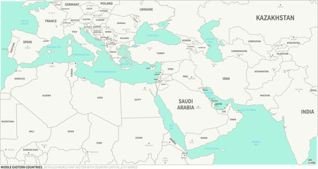 Middle Eastern Countries map. Detailed world Map Vector with Country,Capital,City Names.
 -
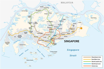 Republic of Singapore vector metro map