Ulubione (0)
Koszyk
(0)
(0)
Brak produktów
Do ustalenia
Wysyłka
0,00 zł
Razem
Produkt dodany poprawnie do Twojego koszyka
Ilość
Razem
Ilość produktów w Twoim koszyku: 0.
Jest 1 produkt w Twoim koszyku.
Razem produkty:
Dostawa:
Do ustalenia
Razem
Fototapety na wymiar
-
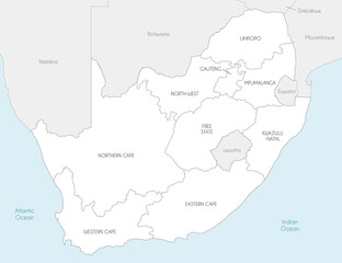 Vector map of South Africa with provinces and administrative divisions, and neighbouring countries. Editable and clearly labeled layers.
 -
 paraiba administrative map
 -
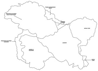 Detailed Political Map of Greater Kashmir Region with Labels Including Ladakh Jammu Aksai Chin Gilgit Baltistan and Siachen Glacier with Directional Arrows for Educational Reference and Vector Atlas
 -
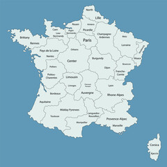 Flat design map of France with labeled regions and main cities. Ideal for education, infographic layouts, travel presentations, and geography teaching materials.
 -
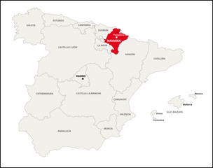 Autonome Region Navarra, Spanien
 -
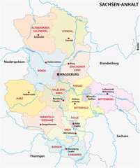 sachsen anhalt administrative and political vector map
 -
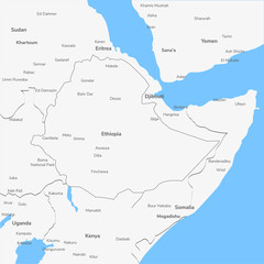 Detailed vector map Ethiopia.
 -
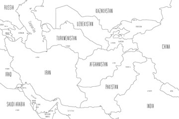 Map of Central Asia. Handdrawn doodle style. Vector illustration
 -
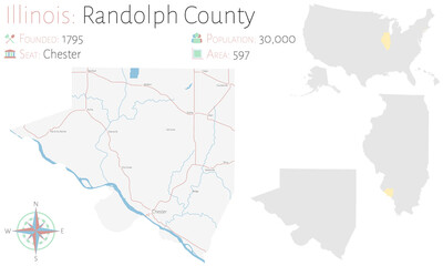 Large and detailed map of Randolph county in Illinois, USA.
 -
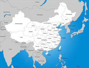 中国、台湾と周辺国の白地図、国境線、英語の地名入り
 -
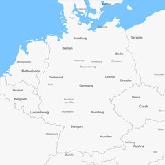 Detailed vector map Germany.
 -
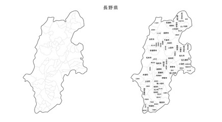 日本 白地図 長野県(市区町村)
 -
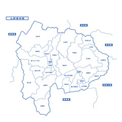 山梨県地図 シンプル白地図 市区町村
 -
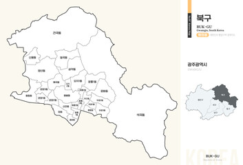 광주광역시 북구 행정동 윤곽선 지도
 -
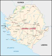 Sierra Leone
 -
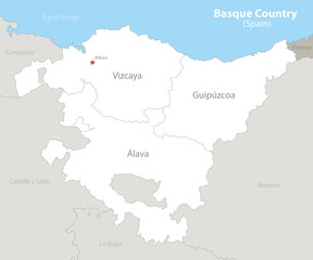 Basque Country (Spain) map, neighboring states and provinces with names vector
 -
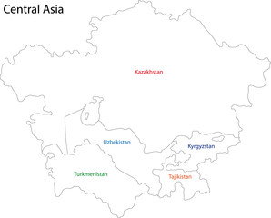 Outline Central Asia
 -
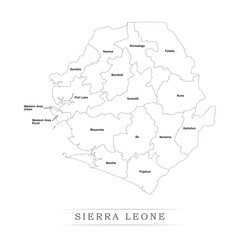 Administrative regions of SIERRA LEONE. Province, state, division name with white map with black outline. Vector illustration
 -
 3d map of Belgium vector flag map
 -
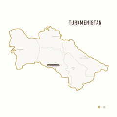 Map of Turkmenistan with border, cities and capital Ashgabat. Each city has separately for your design. Vector Illustration
 -
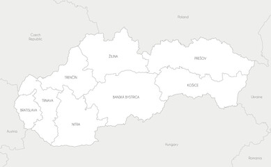 Vector map of Slovakia or Slovak Republic with regions and administrative divisions, and neighbouring countries and territories. Editable and clearly labeled layers.
 -
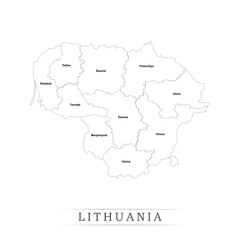 Administrative regions of LITHUANIA. Province, state, division name with white map with black outline. Vector illustration
 -
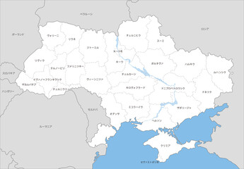 ウクライナの州境のある地図、近隣国、日本語の地名
 -
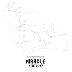 Miracle Kentucky. US street map with black and white lines.
 -
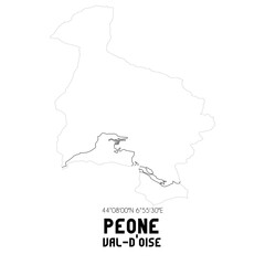 PEONE Val-d'Oise. Minimalistic street map with black and white lines.
 -
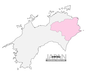 日本地図 四国 徳島県 県境無し 03
 -
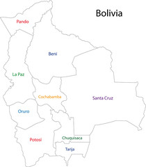 Contour Bolivia map
 -
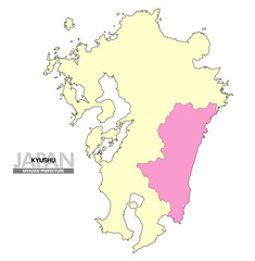 日本地図 九州 宮崎県 県境無し 02