Ulubione (0)
Koszyk
(0)
(0)
Brak produktów
Do ustalenia
Wysyłka
0,00 zł
Razem
Produkt dodany poprawnie do Twojego koszyka
Ilość
Razem
Ilość produktów w Twoim koszyku: 0.
Jest 1 produkt w Twoim koszyku.
Razem produkty:
Dostawa:
Do ustalenia
Razem
Fototapety na wymiar
-
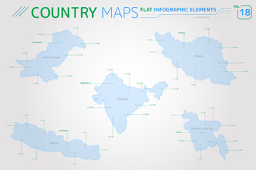 Pakistan, India, Bangladesh, Iran and Nepal Vector Maps
 -
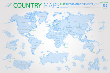 America, Asia, Africa, Europe, Australia, Oceania, Mexico, Japan, Canada, Brazil, USA, Russia, China Vector Maps
 -
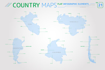 Peru, Venezuela, Colombia, Argentina and Chile Vector Maps
 -
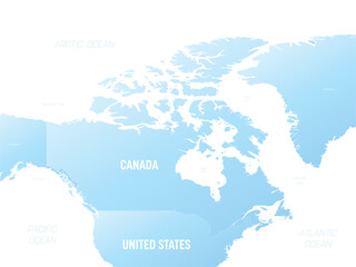 Canada detailed political map with lables
 -
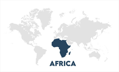
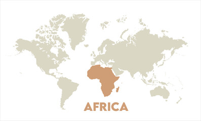
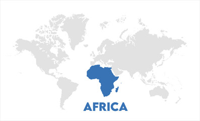 Africa map highlighted on the world map, Africa map, modern world map, Illustration, eps 10, worldwide, all continents, all countries, worldwide project
 -
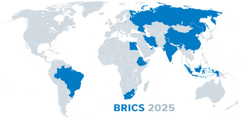 BRICS member states 2025, political map. Organization compromising 10 countries as of January 6, 2025. BRICS are initial letters of first member states Brazil, Russia, India, China, and South Africa.
 -
 G7, Group of Seven, infographic and map. Worlds largest advanced economies. Canada, France, Germany, Italy, Japan, United Kingdom and United States. Also represented by the European Union. Vector.
 -
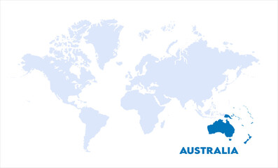
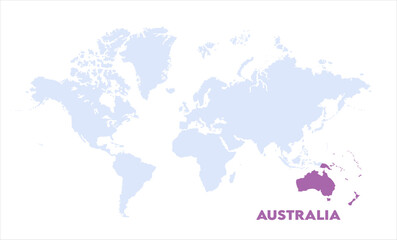
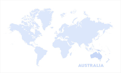 Watercolor world map with Australia-13, Map of Australia, highlighted on the world map, Australia on the world map, Satellite view, Australia location on the globe.
 -
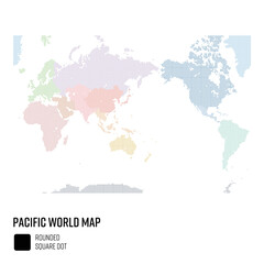 世界地図ドット 太平洋を中心とした世界 地域別にグループ
 -
 Weltkarte mit verschiedenen Standorten eines Unternehmens
 -
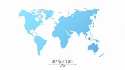 Map of the planet earth in a flat style. The continents are blue. The big planet
 -
 eurasia countries map. vector of eurasia map. europe and asia continente map.
 -
 Watercolor world map with Australia-10, Map of Australia, highlighted on the world map, Australia on the world map, Satellite view, Australia location on the globe.
 -
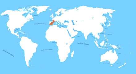
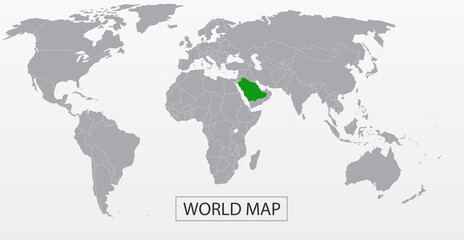 Political Vector Map of the world with clear borders with highlighted Saudi Arabia. Each country is isolated and selectable. Suitable for reports, statistics, infographics, templates. Silhouette backd
 -
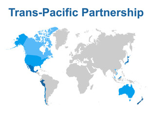 Map of Comprehensive and Progressive Agreement for Trans-Pacific Partnership
 -
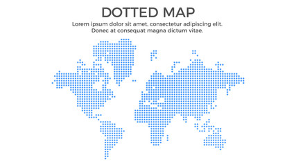 Dotted Map Infographic Element - Business Vector Illustration in Flat Design Style for Presentation, Booklet, Website, Presentation etc. Isolated on the White Background.
 -
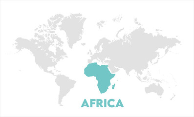
 Africa map highlighted on the world map, Africa map, modern world map, Illustration, eps 10, worldwide, all continents, all countries, worldwide project
 -
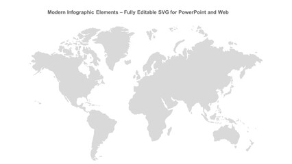 Modern Infographic Elements – Fully Editable SVG for PowerPoint, Web, Illustrator, and most vector-based applications. Ideal for presentations, infographics, and business slide designs.
 -
 Visigothic Kingdom the largest borders map with all world,sea and ocean names
 -
 Africa map highlighted on the world map, Africa map, modern world map, Illustration, eps 10, worldwide, all continents, all countries, worldwide project
 -
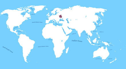
 Map of The french empire the largest borders with all map, sea and ocean names
 -
 World map accurate scale-08, world map vector image, modern world map, Illustration, eps 10, worldwide, all continents, all countries, worldwide project
 -
 Map of Maya Civilization the largest borders with all world, sea, ocean names
 -
 Africa map highlighted on the world map, Africa map, modern world map, Illustration, eps 10, worldwide, all continents, all countries, worldwide project
 -
 Map of Cossack Hetmanate 17th Century the largest borders with all world sea, ocean names
 -
 Airplane path in dotted line shape on world map. Flight path. Vector illustration.
 -
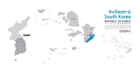 13. Map of Incheon showing administrative districts with white lines on gray background
 -
 Watercolor world map with Australia-09, Map of Australia, highlighted on the world map, Australia on the world map, Satellite view, Australia location on the globe.