Ulubione (0)
Koszyk
(0)
(0)
Brak produktów
Do ustalenia
Wysyłka
0,00 zł
Razem
Produkt dodany poprawnie do Twojego koszyka
Ilość
Razem
Ilość produktów w Twoim koszyku: 0.
Jest 1 produkt w Twoim koszyku.
Razem produkty:
Dostawa:
Do ustalenia
Razem
Fototapety na wymiar
-
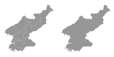 North Korea map with administrative divisions. Vector illustration.
 -
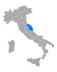
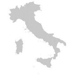
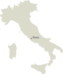
 Map - Italy
 -
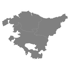 High Quality map of Basque Country is a state of Spain, with borders of the districts
 -
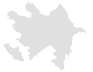 Azerbaijan map, suitable for map, geography, country, border, and location themes. Ideal for education, business, and infographic.
 -
 Karte von San Martin in Peru
 -
 Karte von Marken in Italien
 -
 Roscommon, Ireland – administrative vector map with municipal district boundaries (Web Mercator projection, PPT-compatible & fully editable)
 -
 福井県 地図 黄緑 イラスト
 -
 Carte France Camaieu Bleu Gris
 -
 Carte France Camaieu Gris
 -
 Italy map with dotted pattern vector illustration
 -
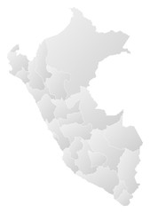 Map - Peru
 -
 A 3d isolated vector illustration of a world map continent shape featuring the geography and country borders of Europe, North America, and North Korea as a white silhouette on a flat background
 -
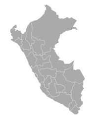 Karte von Peru
 -
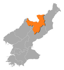 Map - North Korea, Ryanggang
 -
 Italy map. vector illustration
 -
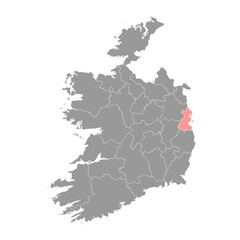 County Dublin map, administrative counties of Ireland. Vector illustration.
 -
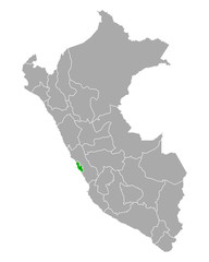
 Karte von La Libertad in Peru
 -
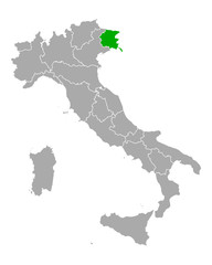 Karte von Friaul-Julisch Venetien in Italien
 -
 Perak, Malaysia – administrative vector map with level 2 district boundaries (Web Mercator projection, PPT-compatible & fully editable)
 -
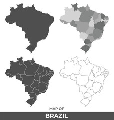 Collection of Brazil country grey political maps set with border outline vector illustration
 -
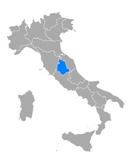 Karte von Umbrien in Italien
 -
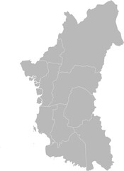
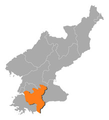 Map - North Korea, North Hwanghae
 -
 Karte von Latium in Italien
 -
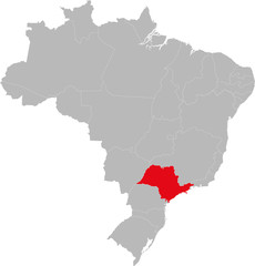 São Paulo state highlighted on Brazil map. Business concepts and backgrounds.
 -
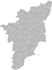 Tamil Nadu, India – administrative vector map with district boundaries (Web Mercator projection, PPT-compatible & fully editable)
 -
 Karte von Lima Metropolitana in Peru
 -
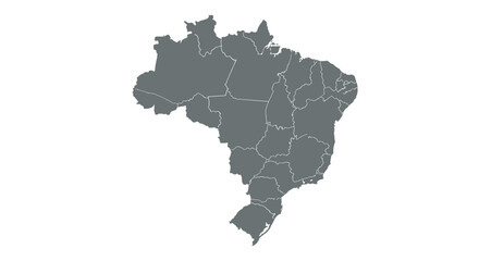 Map of brazil showing state borders in minimalist gray style