Ulubione (0)
Koszyk
(0)
(0)
Brak produktów
Do ustalenia
Wysyłka
0,00 zł
Razem
Produkt dodany poprawnie do Twojego koszyka
Ilość
Razem
Ilość produktów w Twoim koszyku: 0.
Jest 1 produkt w Twoim koszyku.
Razem produkty:
Dostawa:
Do ustalenia
Razem
Fototapety na wymiar
-
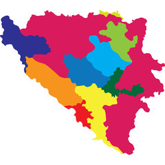 bosnia herzegovina
 -
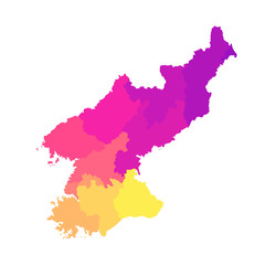
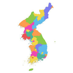
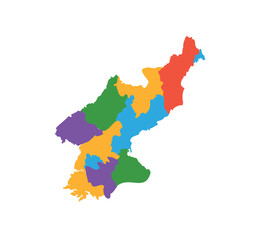 Multicolor North Korea map political regions simple flat vector
 -
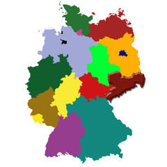
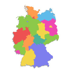 Germany map, new political detailed map, separate individual regions, with state names, isolated on white background 3D blank
 -
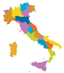 Italy map of city regions districts vector color on white background
 -
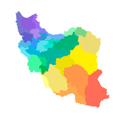 Vector isolated illustration of simplified administrative map of Iran. Borders of the provinces. Multi colored silhouettes
 -
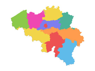
 map of belgium
 -
 Neu-Ulm district (Federal Republic of Germany, rural district Swabia, Free State of Bavaria) map vector illustration, scribble sketch Neu Ulm map
 -
 Minoh city (Japan, Nihon-koku or Nippon-koku, Kansai region) map vector illustration, scribble sketch Minoh-shi map
 -
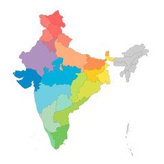 India political map of administrative divisions - states and union teritorries. Rainbow spectrum colorful blank vector map.
 -
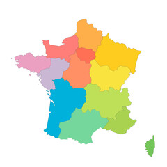
 France regions map symbol shape, travel web flat concept icon symbol vector illustration
 -
 Sachsen
 -
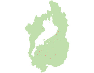 滋賀県 地図 黄緑 斑点 イラスト
 -
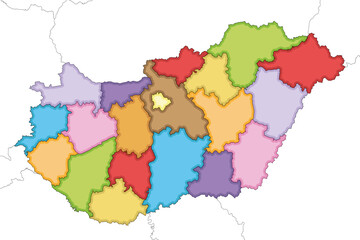 Vector illustrated regional blank map of Hungary with counties and administrative divisions, and neighbouring countries and territories. Editable and clearly labeled layers.
 -
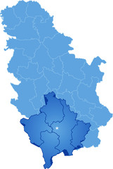 Map of Serbia, Autonomous Province of Kosovo and Metohija
 -
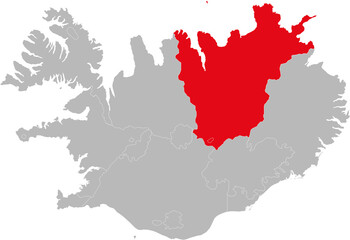 Nordurland Eystra provinces isolated on Iceland map. Gray background. Backgrounds and Wallpapers.
 -
 Belgium map, administrative division, separate individual regions, color map isolated on white background blank
 -
 Digital composite image of map
 -
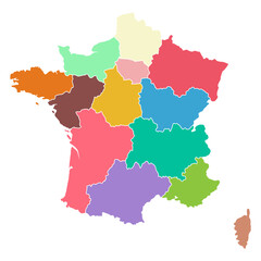
 France political map of administrative divisions - regions. Rainbow spectrum colorful blank vector map.
 -
 North Hwanghae Province (Democratic Peoples Republic of Korea, DPRK, DPR Korea, Provinces of North Korea) map vector illustration, scribble sketch Hwanghaebuk-to map
 -
 Ueda city (Japan, Nihon-koku or Nippon-koku, Chubu region) map vector illustration, scribble sketch Ueda-shi map
 -
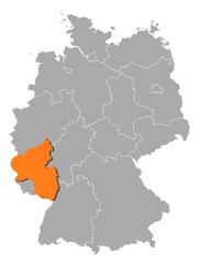 Map of Germany, Rhineland-Palatinate highlighted
 -
 Vector isolated illustration of simplified administrative map of North Korea (People's Republic of Korea). Borders of the regions. Multi colored silhouettes
 -
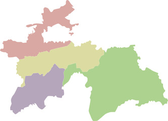 Vector regional blank map of Tajikistan with provinces and administrative divisions. Editable and clearly labeled layers.
 -
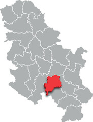 rasina district map ADMINISTRATIVE DIVISIONS of SERBIA 3d isometric map
 -
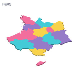 France political map of administrative divisions - regions. Colorful isometric blank vector map.
 -
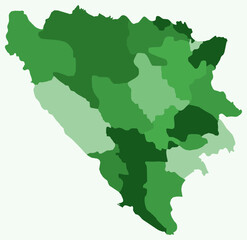 Map of Bosnia and Herzegovina with regions. Just a simple country border map with region division. Green color palette. Flat Bosnia and Herzegovina shape with administrative division.
 -
 Korea map, north and south administrative division, color map isolated on white background blank
 -
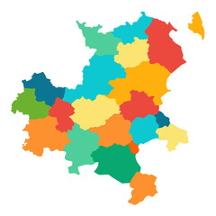
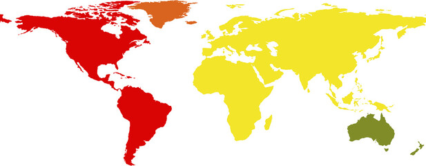
 Colorful map of regions with white background