Ulubione (0)
Koszyk
(0)
(0)
Brak produktów
Do ustalenia
Wysyłka
0,00 zł
Razem
Produkt dodany poprawnie do Twojego koszyka
Ilość
Razem
Ilość produktów w Twoim koszyku: 0.
Jest 1 produkt w Twoim koszyku.
Razem produkty:
Dostawa:
Do ustalenia
Razem
Fototapety na wymiar
-
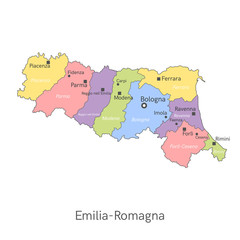 Vector illustration: administrative map of Emilia-Romagna with the names of cities and provinces.
 -
 Switzerland administrative divisions. Switzerland map illustration vector.
 -
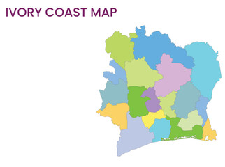 High detailed map of Ivory Coast. Outline map of Ivory Coast. Africa
 -
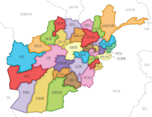 Vector illustrated regional map of Afghanistan with provinces and administrative divisions, and neighbouring countries and territories. Editable and clearly labeled layers.
 -
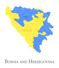
 Map with borders and flag of Bosnia and Herzegovina.
 -
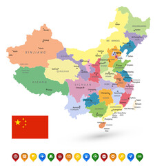 China Political Map Isolated on White and Map Pointers
 -
 Bulgaria regional map
 -
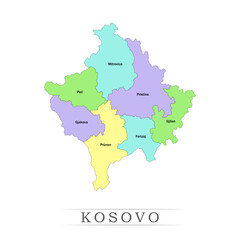 Kosovo administrative divisions. Kosovo map illustration vector.
 -
 Bosnia and Herzegovina regional map
 -
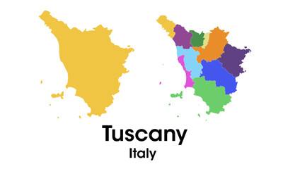 tuscany italy
 -
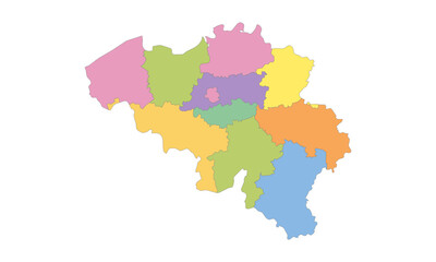 Multicolor Map of Belgium with Provinces
 -
 latin america country map. south america country map. brazil map.
 -
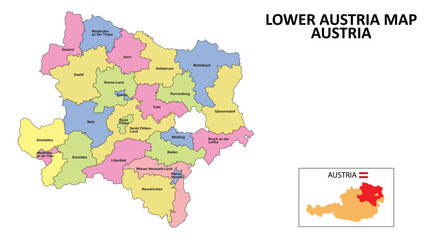 Lower Austria Map. District map of Lower Austria detailed map of Lower Austria in color with capital.
 -
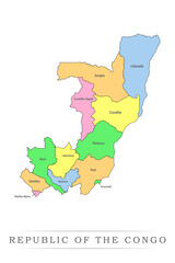 Republic of the Congo administrative divisions. Republic of the Congo map illustration vector.
 -
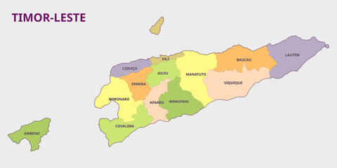 Timor-Leste Map - Political Division
 -
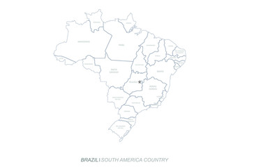
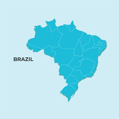 Brazil map
 -
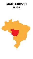 Mato Grosso Map is highlighted on the Brazil map with detailed state and region outlines.
 -
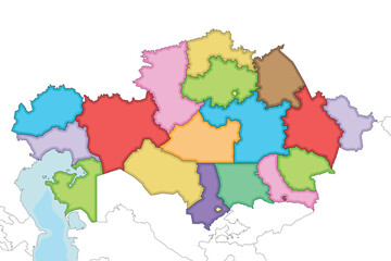 Vector illustrated blank map of Kazakhstan with regions, independent cities and administrative divisions, and neighbouring countries and territories. Editable and clearly labeled layers.
 -
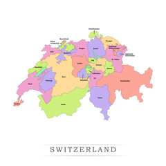
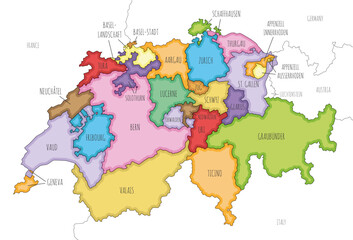 Vector illustrated regional map of Switzerland with cantons and administrative divisions, and neighbouring countries and territories. Editable and clearly labeled layers.
 -
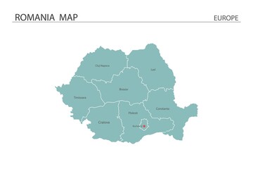 Romania map vector illustration on white background. Map have all province and mark the capital city of Romania.
 -
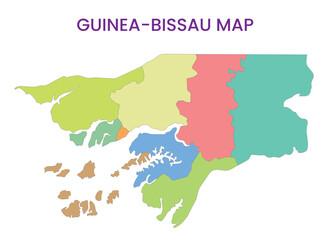 High detailed map of Guinea-Bissau. Outline map of Guinea-Bissau. Africa
 -
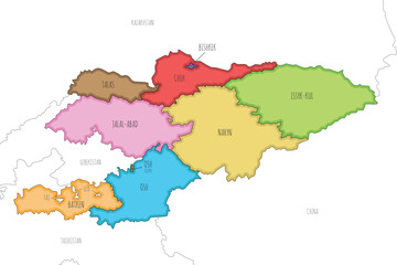 Vector illustrated map of Kyrgyzstan with regions and administrative divisions, and neighbouring countries and territories. Editable and clearly labeled layers.
 -
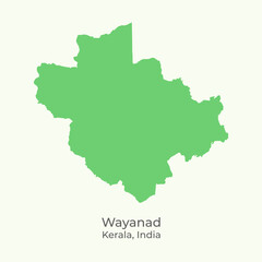 Wayanad district of Kerala State, India map vector illustration.
 -
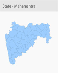 Mumbai_city-Maharashtra_Map detailed map illustration graphic for educational reference, geographic visualization, design layouts, presentations, digi
 -
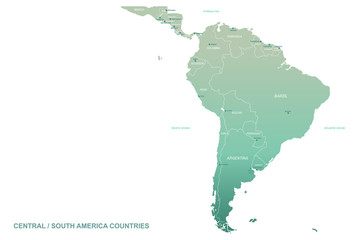 south america map. latin america vector map.
 -
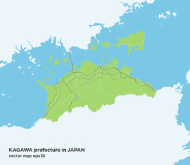 日本の香川県の緑色のシンプルなロードマップ
 -
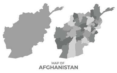 Greyscale vector map of Afghanistan with regions and simple flat illustration
 -
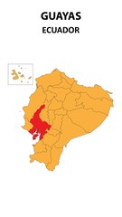 Guayas Map is highlighted on the Ecuador map with detailed state and region outlines.