Ulubione (0)
Koszyk
(0)
(0)
Brak produktów
Do ustalenia
Wysyłka
0,00 zł
Razem
Produkt dodany poprawnie do Twojego koszyka
Ilość
Razem
Ilość produktów w Twoim koszyku: 0.
Jest 1 produkt w Twoim koszyku.
Razem produkty:
Dostawa:
Do ustalenia
Razem
Fototapety na wymiar
-
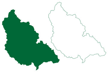
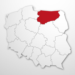 województwo warmińsko-mazurskie
 -
 Garhwa district (Jharkhand State, Republic of India, Palamu division) map vector illustration, scribble sketch Garhwa map
 -
 Gray flat blank vector map of raion areas of the Ukrainian administrative area of ZHYTOMYR OBLAST, UKRAINE with white border lines of its raions
 -
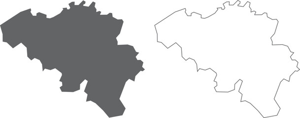
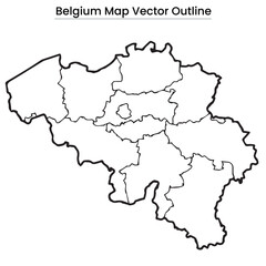 Belgium Map Vector Outline Editable Country Silhouette with Province Borders
 -
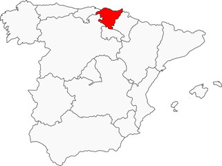
 Spanien
 -
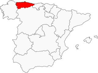 Map of Spain highlighting Asturias. Perfect for designs on its stunning coastline, rugged mountains, Celtic heritage, and lush green landscapes.
 -
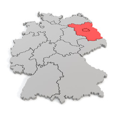 3D map of germany with focus to berlin and brandenburg
 -
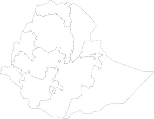 ETHIOPIA MAP with its administrative divisions and regions
 -
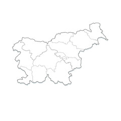 mappa slovenia
 -
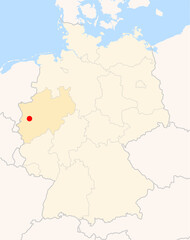
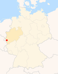 Locatormap of the city Eschweiler (Nordrhein-Westfalen) in Germany.
 -
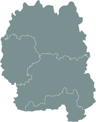
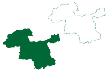
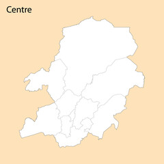 High Quality map of Centre Region is a province of Cameroon
 -
 "A detailed political world map featuring random nations like Indonesia, Germany, Mexico, Kenya, and Australia with clear borders and capital markers."
 -
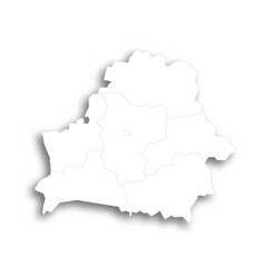 Belarus political map of administrative divisions - regions and one autonomous city. Flat white blank map with thin black outline and dropped shadow.
 -
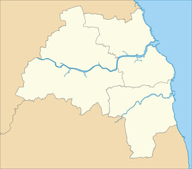
 Map - Lower Saxony (Germany)
 -
 Map of Spain highlighting the Basque Country. Perfect for projects on its unique culture, language, stunning coastal cities, and rugged landscapes
 -
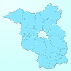 Brandenburg blue map on degraded background vector
 -
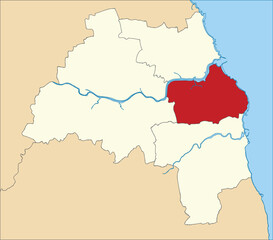 Red flat blank highlighted location map of the METROPOLITAN BOROUGH OF SOUTH TYNESIDE inside beige administrative local authority districts map of Tyne and Wear, England
 -
 vector illustration of simple abstract map of Belgium
 -
 Blank map of Ukraine with regions, administrative divisions and territories claimed by Russia. Editable and clearly labeled layers.
 -
 Locatormap of the city Meerbusch (Nordrhein-Westfalen) in Germany.
 -
 Beige flat vector metropolitan administrative map of TYNE AND WEAR, ENGLAND with black border lines and waterways of its local authority districts
 -
 Amravati district (Maharashtra State, Republic of India) map vector illustration, scribble sketch Amravati map
 -
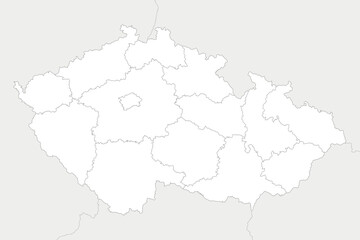 Vector blank map of Czechia or Czech Republic with regions and administrative divisions, and neighbouring countries and territories. Editable and clearly labeled layers.
 -
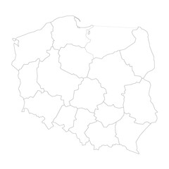 Poland political map of administrative divisions
 -
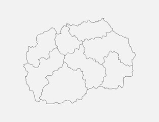 Map of country North Macedonia divided on regions
 -
 Freehand Spain map sketch on white background.
 -
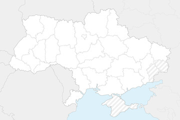
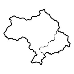 Thin black outline map of ukraine
 -
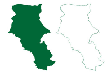
 Kishtwar district (Jammu and Kashmir union territory, Republic of India) map vector illustration, scribble sketch Kishtwar map