Ulubione (0)
Koszyk
(0)
(0)
Brak produktów
Do ustalenia
Wysyłka
0,00 zł
Razem
Produkt dodany poprawnie do Twojego koszyka
Ilość
Razem
Ilość produktów w Twoim koszyku: 0.
Jest 1 produkt w Twoim koszyku.
Razem produkty:
Dostawa:
Do ustalenia
Razem
Fototapety na wymiar
-
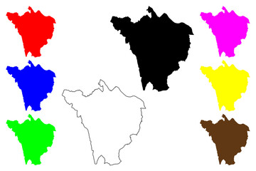 London Borough of Bromley (United Kingdom of Great Britain and Northern Ireland, Ceremonial county and region Greater London, England) map vector illustration, scribble sketch map
 -
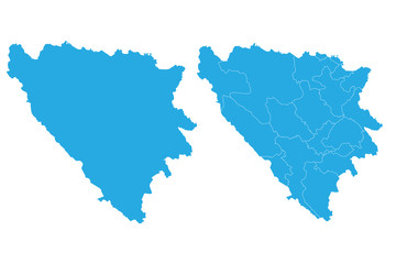 Map - Bosnia Herzegovina Cantons Couple Set , Map of Bosnia Herzegovina Cantons,Vector illustration eps 10.
 -
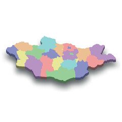 3d isometric colored map of Mongolia
 -
 Department of Piura (Republic of Peru, Regions of Peru) map vector illustration, scribble sketch Piura map
 -
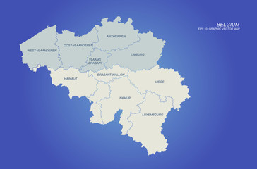
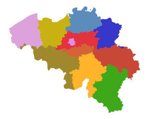 Karte von Belgien
 -
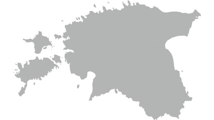 Grey Estonia Map simple map vector illustration
 -
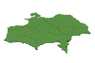 3D Illustration Green Isolated Country Map Background
 -
 Yozgat (Provinces of the Republic of Turkey) map vector illustration, scribble sketch Yozgat ili map
 -
 graphic vector of bulgium map. europe country map. eu map.
 -
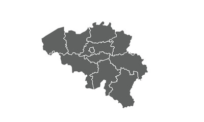 Belgium map isolated on white background.for annual infographics report website layout
 -
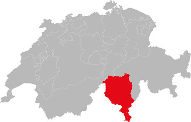 Ticino canton isolated on Switzerland map. Gray background. Backgrounds and Wallpapers.
 -
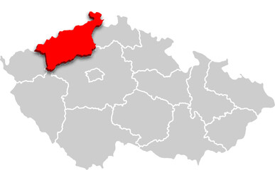 Ústecký kraj map REGION of CZECH REPUBLIC 3d isometric map
 -
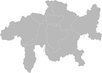 Graubunden (Grisons), Switzland – administrative vector map with district boundaries (Oblique Mercator projection, PPT-compatible & fully editable)
 -
 Navarre (Kingdom of Spain, Autonomous community) map vector illustration, scribble sketch Chartered Community of Navarre, Navarra or Nafarroa map
 -
 Zlínský kraj mapa
 -
 Simplified map of Maastricht Treaty location, geometric representation
 -
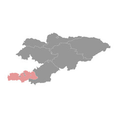 Batken region map, administrative division of Kyrgyzstan. Vector illustration.
 -
 Razgrad Province (Republic of Bulgaria, Provinces of Bulgaria) map vector illustration, scribble sketch Razgrad map
 -
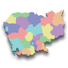 3d isometric colored map of Cambodia
 -
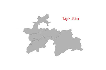 Tajikistan Map vector illustration. Tajikistan Map silhouette
 -
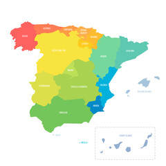 Spain political map of administrative divisions
 -
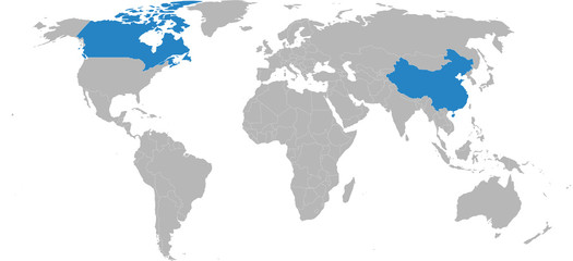 Canada, China countries isolated on world map. Light gray background. Business concepts, diplomatic, trade and transport relations.
 -
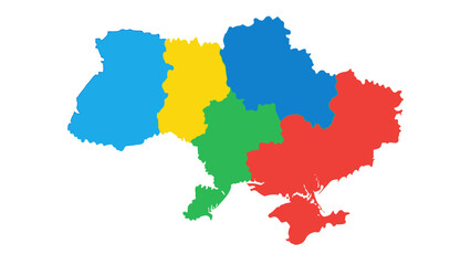 ukraine regions map colored
 -
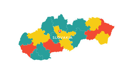 slovakia regions map colorful illustration
 -
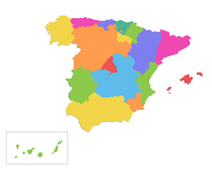 Spain map, administrative division, separate individual regions, color map isolated on white background blank
 -
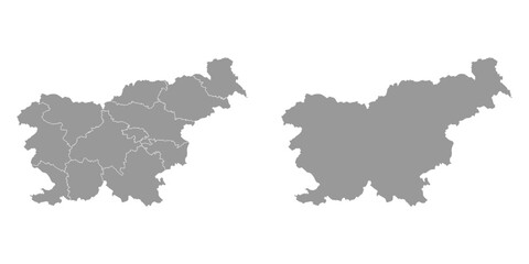
 Slovenia grayscale map
 -
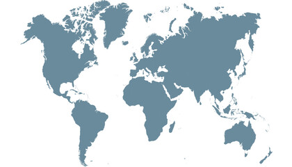 World map. Silhouette map. Color modern vector map.
 -
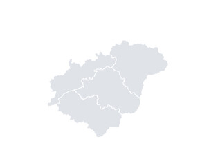
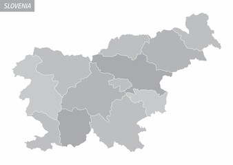
 Slovenia grey map with regions. Vector illustration.