Ulubione (0)
Koszyk
(0)
(0)
Brak produktów
Do ustalenia
Wysyłka
0,00 zł
Razem
Produkt dodany poprawnie do Twojego koszyka
Ilość
Razem
Ilość produktów w Twoim koszyku: 0.
Jest 1 produkt w Twoim koszyku.
Razem produkty:
Dostawa:
Do ustalenia
Razem
Fototapety na wymiar
-
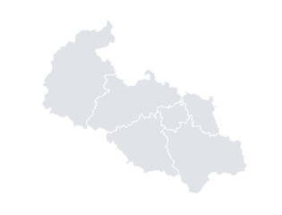 Moravskoslezký kraj mapa
 -
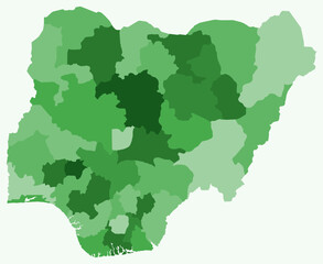 Map of Nigeria with regions. Just a simple country border map with region division. Green color palette. Blank Federal Republic of Nigeria shape with administrative division. Vector illustration.
 -
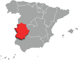 extremadura map ADMINISTRATIVE DIVISIONS of SPAIN 3d isometric map
 -
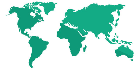
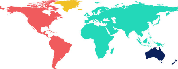 Graphic image of colorful world map
 -
 Cantabria, Spain
 -
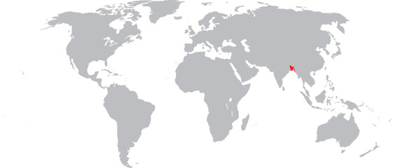 Bangladesh Highlighted on World Map Vector Design
 -
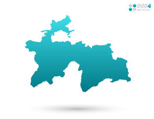 Vector blue gradient of Tajikistan map on white background. Organized in layers for easy editing.
 -
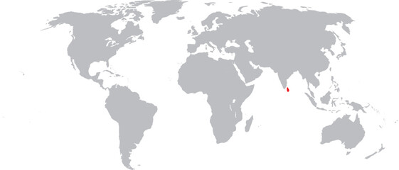 Sri Lanka Highlighted on World Map Vector Design
 -
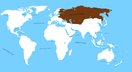 Map of Russian Empire 1905 Year the largest borders with all world and sea,ocen names
 -
 HASKOVO map REGION of BULGARIA 3d isometric map
 -
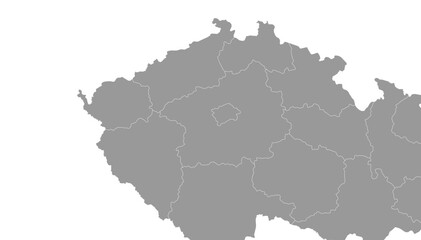 Czech Republic Map Gray Single Color Vector
 -
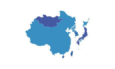
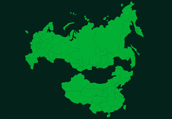 map of Russia and China
 -
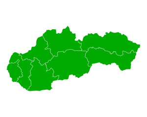 Karte der Slowakei
 -
 World map vector illustration.
 -
 Abstract Country Map
 -
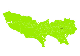 日本の東京都の行政区分付き地図
 -
 3D map of China. Isometric map of china with flag in 3d render
 -
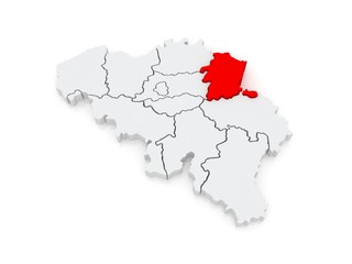 Map of Limburg. Belgium.
 -
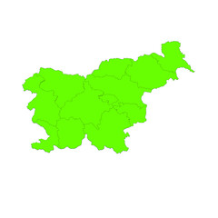 mappa slovenia
 -
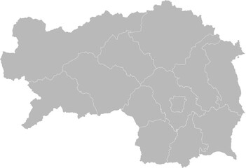 Styria (Steiermark), Austria – administrative vector map with district boundaries (LCC projection, PPT-compatible & fully editable)
 -
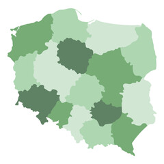 Poland map. Map of Poland in administrative regions
 -
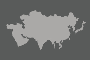
 Map of Asia isolated modern colorful style. for website layouts, background, education, precise, customizable, Travel worldwide, map silhouette backdrop, earth geography, political, reports.
 -
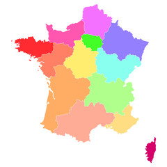
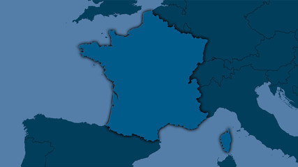 France, solid - dark glow
 -
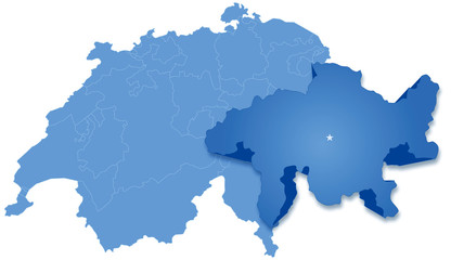 Map of Switzerland where Graubünden-Grisons is pulled out
 -
 Professional World Map Graphic for Technology, Data, and Network Connectivity
 -
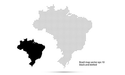 Brazil map vector, isolated background dotted background
 -
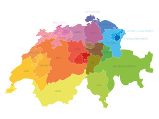 Colorful political map of Switzerland. Administrative divisions - cantons. Simple flat vector map with labels.
 -
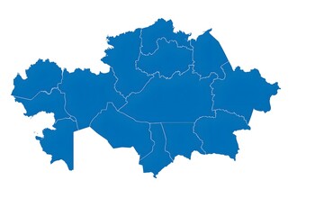 Kazakhstan Political Map with Regions Isolated White Background