Ulubione (0)
Koszyk
(0)
(0)
Brak produktów
Do ustalenia
Wysyłka
0,00 zł
Razem
Produkt dodany poprawnie do Twojego koszyka
Ilość
Razem
Ilość produktów w Twoim koszyku: 0.
Jest 1 produkt w Twoim koszyku.
Razem produkty:
Dostawa:
Do ustalenia
Razem
Fototapety na wymiar
-
 少しゆるい徳島県地図 フチなし 四国
 -
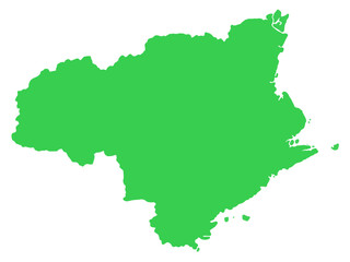
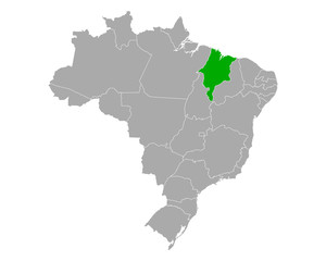
 Karte von Maranhao in Brasilien
 -
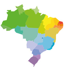 Colorful political map of Brazil. Administrative divisions - states. Simple flat blank vector map
 -
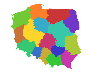 Karte von Polen
 -
 Blitar city (Republic of Indonesia, Region Java) map vector illustration, scribble sketch Blitar map
 -
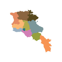 Armenia map with province area multicolor vector illustration design
 -
 ドイツの地図
 -
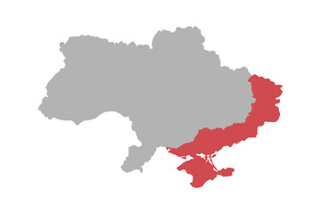
 map of ukraine highlighted in blue
 -
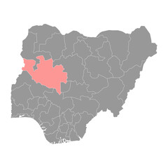 Niger state map, administrative division of the country of Nigeria. Vector illustration.
 -
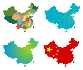 Vector China map set
 -
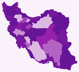 Map of Iran with regions. Just a simple country border map with region division. Purple color palette. Blank Islamic Republic of Iran shape with administrative division. Vector illustration.
 -
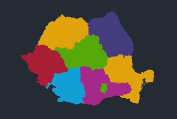 Romania map, flat design colors, individual administrative division, blue background, raster blank
 -
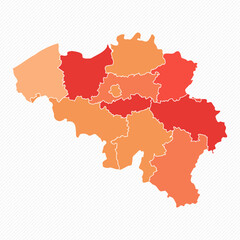 Colorful Belgium Divided Map Illustration
 -
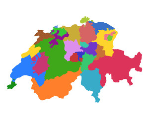 Mapa Szwajcarii
 -
 Map of the war in Ukraine. Russia's aggression and annexation of the country's territories. Political vector illustration
 -
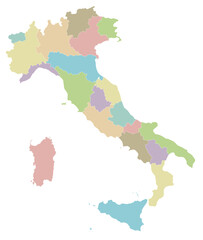 Vector blank map of Italy with regions and administrative divisions. Editable and clearly labeled layers.
 -
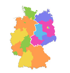 Germany map divided on West and East map, administrative division, color map isolated on white background, blank
 -
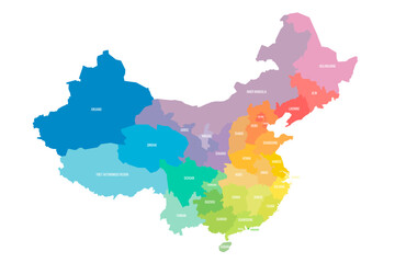 China political map of administrative divisions
 -
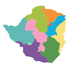 Zimbabwe map regions. in multicolor
 -
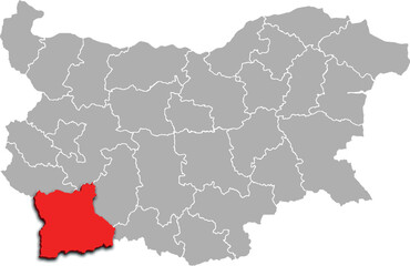 BLAGOEVGRAD map REGION of BULGARIA 3d isometric map
 -
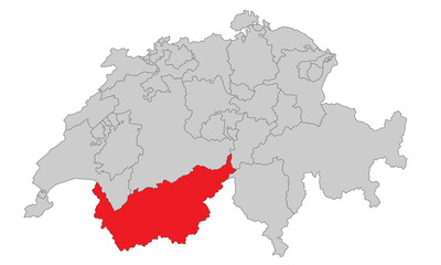 Schweiz - Wallis
 -
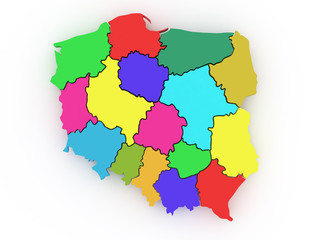 Three-dimensional map of Poland. 3d
 -
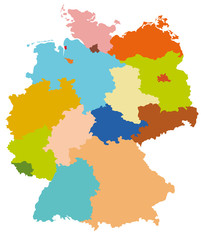
 Karte von Deutschland - politische Karte - interaktiv
 -
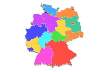 Colored map of Germany, 3D rendering
 -
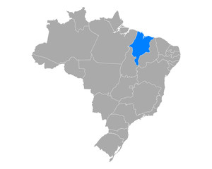
 Karte von Maranhao in Brasilien
 -
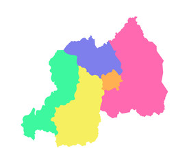 Vector isolated illustration of simplified administrative map of Rwanda. Borders of the regions. Multi colored
 -
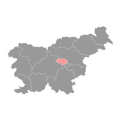 Central Sava map, region of Slovenia. Vector illustration.
 -
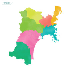 水彩風の地図 宮城県