Ulubione (0)
Koszyk
(0)
(0)
Brak produktów
Do ustalenia
Wysyłka
0,00 zł
Razem
Produkt dodany poprawnie do Twojego koszyka
Ilość
Razem
Ilość produktów w Twoim koszyku: 0.
Jest 1 produkt w Twoim koszyku.
Razem produkty:
Dostawa:
Do ustalenia
Razem
Fototapety na wymiar
-
 リアルな京都府の地図、日本の地方
 -
 Jhabua district (Madhya Pradesh State, Indore division, Republic of India) map vector illustration, scribble sketch Jhabua map
 -
 Belgium Map with Administrative Districts and Topographic Terrain
 -
 Democratic Republic of the Congo map. Map of Democratic Republic of the Congo in white set
 -
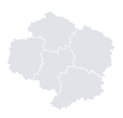
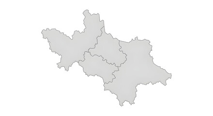 A map of the administrative divisions of a region, showing internal borders and outlines.
 -
 Khagaria district (Bihar State, Munger division, Republic of India) map vector illustration, scribble sketch Khagaria map
 -
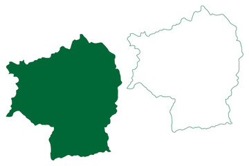
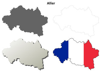 Allier (Auvergne) outline map set
 -
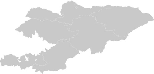 Kyrgyzstan administrative vector map with level 1 region boundaries – PPT-compatible & fully editable by region
 -
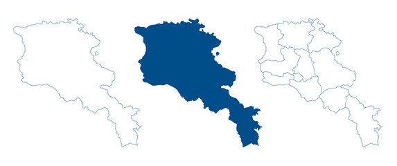 Armenia map. Detailed blue outline and silhouette. Administrative divisions and provinces. Set of vector maps. All isolated on white background. Template for design and infographics.
 -
 North Sikkim district (Sikkim State, Republic of India) map vector illustration, scribble sketch North Sikkim map
 -
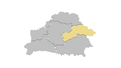 Могилевская область
 -
 Surrey Heath Non-metropolitan district, borough (United Kingdom of Great Britain and Northern Ireland, ceremonial county Surrey, England) map vector illustration, scribble sketch
 -
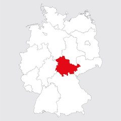
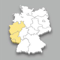 Western region location within Germany map
 -
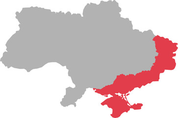 Ukraine map with highlighted eastern and southern regions
 -
 Camacan municipality (Bahia state, Municipalities of Brazil, Federative Republic of Brazil) map vector illustration, scribble sketch Camacan map
 -
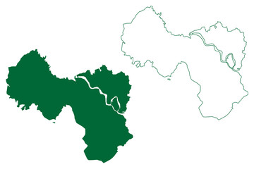
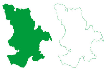
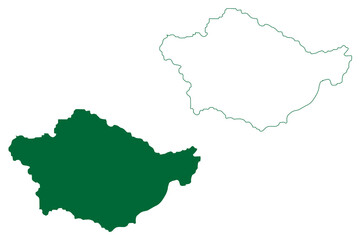
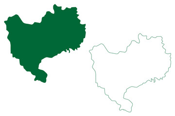
 Kraj Vysočina mapa
 -
 East Sussex (United Kingdom of Great Britain and Northern Ireland, England, Non-metropolitan county, shire county) map vector illustration, scribble sketch East Sussex map....
 -
 Peddapalli district (Telangana State, Republic of India) map vector illustration, scribble sketch Peddapalli map
 -
 Rivne Oblast (Administrative divisions of Ukraine, Oblasts of Ukraine) map vector illustration, scribble sketch Rovno Oblast (Rivnenshchyna) map
 -
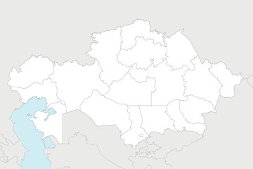 Vector blank map of Kazakhstan with regions, independent cities and administrative divisions, and neighbouring countries and territories. Editable and clearly labeled layers.
 -
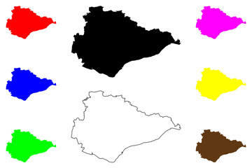
 Bhiwani district (Haryana State, Republic of India) map vector illustration, scribble sketch Bhiwani map
 -
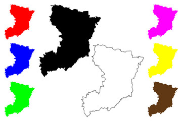
 Department of Piura (Republic of Peru, Regions of Peru) map vector illustration, scribble sketch Piura map
 -
 Art & Illustration
 -
 Thuringia province highlighted germany map. Gray background. German political map.
 -
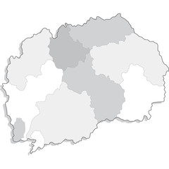 mappa macedonia
 -
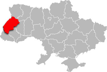 lviv map PROVINCE of UKRAINE 3d isometric map
 -
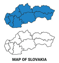 Slovakia Blue detailed outline map border regions outline vector set
 -
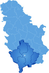 Map of Serbia, Autonomous Province of Kosovo and Metohija