Ulubione (0)
Koszyk
(0)
(0)
Brak produktów
Do ustalenia
Wysyłka
0,00 zł
Razem
Produkt dodany poprawnie do Twojego koszyka
Ilość
Razem
Ilość produktów w Twoim koszyku: 0.
Jest 1 produkt w Twoim koszyku.
Razem produkty:
Dostawa:
Do ustalenia
Razem
Fototapety na wymiar
-
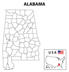 Alabama Map. State and district map of Alabama. Administrative and political map of Alabama with outline and black and white design.
 -
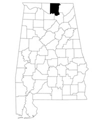 Map of Madison County in Alabama state on white backround. single County map highlighted by black color on Alabama map. UNITED STATES, US
 -
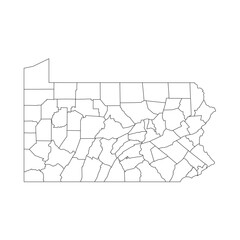 Pennsylvania, PA - detailed political map of US state. Administrative map divided into counties. Thin blank black outline map. Vector illustration
 -
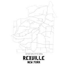 Rexville New York. US street map with black and white lines.
 -
 Map of Jasper County in Mississippi state on white background. single County map highlighted by black colour on Mississippi map. United States of America, US
 -
 Juneau Wisconsin. US street map with black and white lines.
 -
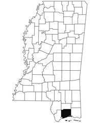 Map of Harrison County in Mississippi state on white background. single County map highlighted by black colour on Mississippi map. United States of America, US
 -
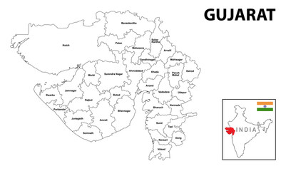 Gujurat map. Political and administrative map of Gujurat with districts name. Showing International and State boundary and district boundary of Gujurat. Vector illustration of vector districts map.
 -
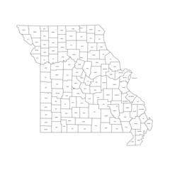 Missouri, MO - detailed political map of US state. Administrative map divided into counties. Thin black outline map with county name labels. Vector illustration
 -
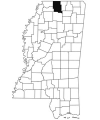
 Map of Benton County in Mississippi state on white background. single County map highlighted by black colour on Mississippi map. United States of America, US
 -
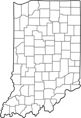 doodle freehand drawing of indiana state map.
 -
 Map of Multnomah County in Oregon state on white background. single County map highlighted by black colour on Oregon map. UNITED STATES, US
 -
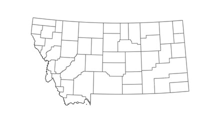
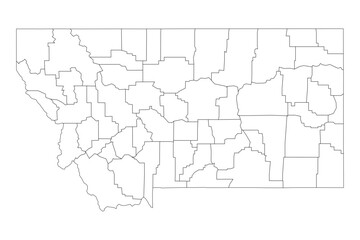 Montana State Outline with County Boundaries
 -
 Outline map of Montana state with county borders on an isolated white background.
 -
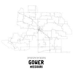 Gower Missouri. US street map with black and white lines.
 -
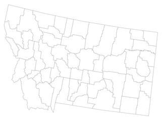 Highly Detailed Montana Blind Map.
 -
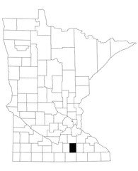 Map of Steele County in Minnesota state on white background. single County map highlighted by black colour on Minnesota map. UNITED STATES, US
 -
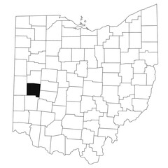 Map of Miami County in Ohio state on white background. single County map highlighted by black colour on Ohio map. UNITED STATES, US
 -
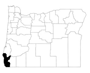 Map of curry County in Oregon state on white background. single County map highlighted by black colour on Oregon map. UNITED STATES, US
 -
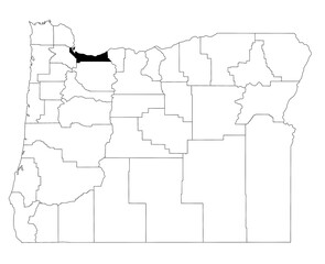
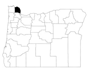 Map of Columbia County in Oregon state on white background. single County map highlighted by black colour on Oregon map. UNITED STATES, US
 -
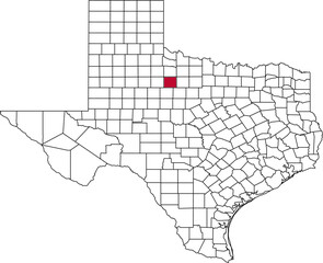 A vector map of Texas highlighting Haskell County. Ideal for geographical studies, regional reports, and data visualization projects.
 -
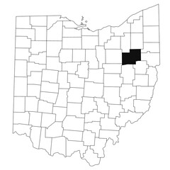 Map of stark County in Ohio state on white background. single County map highlighted by black colour on Ohio map. UNITED STATES, US
 -
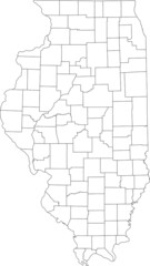
 Detailed vector map of Illinois, USA, showing all internal county borders. Ideal for demographic studies and regional planning.
 -
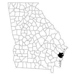 Map of McIntosh County in Georgia state on white background. single County map highlighted by black colour on Georgia map. UNITED STATES, US
 -
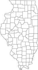
 White blank vector map of the Federal State of Illinois, USA with black borders of its counties
 -
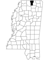
 Map of Marshall County in Mississippi state on white background. single County map highlighted by black colour on Mississippi map. United States of America, US
 -
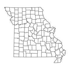 Missouri state map with counties. Vector illustration.
 -
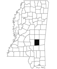
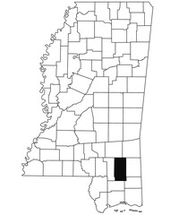 Map of Perry County in Mississippi state on white background. single County map highlighted by black colour on Mississippi map. United States of America, US