Ulubione (0)
Koszyk
(0)
(0)
Brak produktów
Do ustalenia
Wysyłka
0,00 zł
Razem
Produkt dodany poprawnie do Twojego koszyka
Ilość
Razem
Ilość produktów w Twoim koszyku: 0.
Jest 1 produkt w Twoim koszyku.
Razem produkty:
Dostawa:
Do ustalenia
Razem
Fototapety na wymiar
-
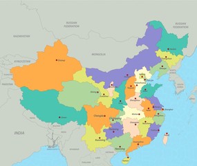 Map of China
 -
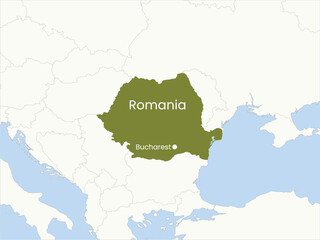 High detailed map of Romania. Outline map of Romania. Europe
 -
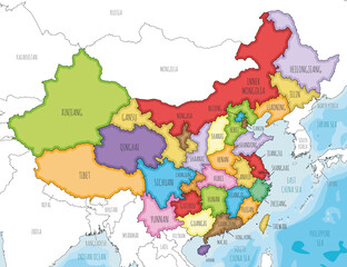 Vector illustrated map of China with provinces, regions and administrative divisions, and neighbouring countries. Editable and clearly labeled layers.
 -
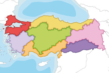 Vector illustrated blank map of Turkey with regions and geographical divisions, and neighbouring countries. Editable and clearly labeled layers.
 -
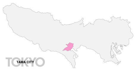 東京都多摩市の位置地図 境界線無_1
 -
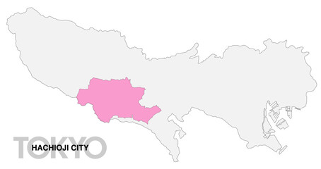 東京都八王子市の位置地図 境界線無_1
 -
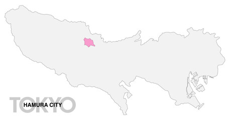 東京都羽村市の位置地図 境界線無_1
 -
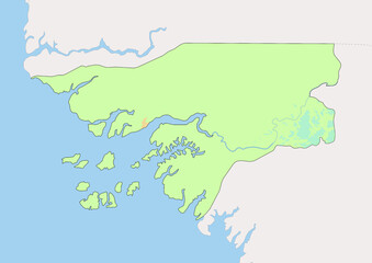 High detailed vector Guinea-Bissau physical map, topographic map of Guinea-Bissau on white with rivers, lakes and neighbouring countries.
 -
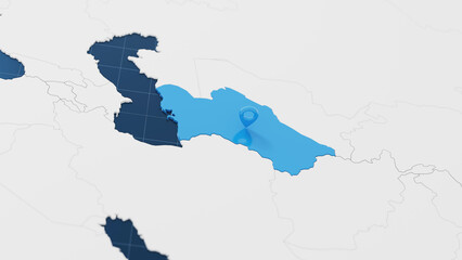 Blue Turkmenistan 3d map with pointer pin surrounded with other countries in white. Political map with borders. 3d render illustration
 -
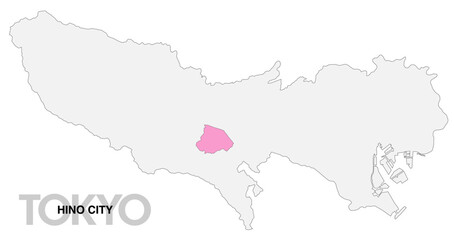 東京都日野市の位置地図 境界線無_1
 -
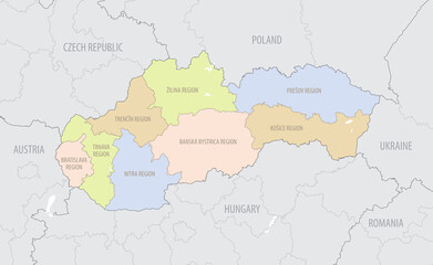
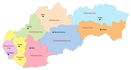 Carte de Slovaquie avec représentation des régions et principales villes - Libellés des régions et des villes en slovaque - Textes vectorisés et non vectorisés sur calques séparés
 -
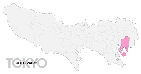 東京都江東区の位置地図_04
 -
 東京都多摩市の位置地図 境界線有_1
 -
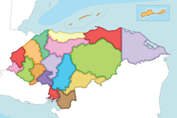 Vector illustrated regional blank map of Honduras with departments and administrative divisions, and neighbouring countries and territories. Editable and clearly labeled layers.
 -
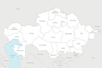 Vector map of Kazakhstan with regions, independent cities and administrative divisions, and neighbouring countries and territories. Editable and clearly labeled layers.
 -
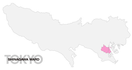 東京都品川区の位置地図_04
 -
 Detailed location map of Slovakia in Europe with administrative divisions of the country, vector illustration
 -
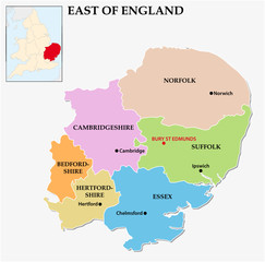 east of england administrative map
 -
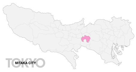 東京都三鷹市の位置地図 境界線有_1
 -
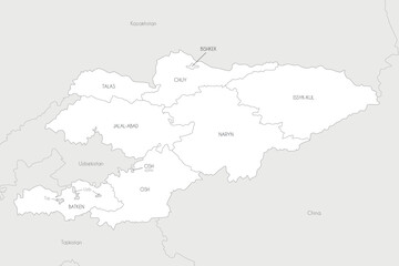 Vector map of Kyrgyzstan with regions and administrative divisions, and neighbouring countries and territories. Editable and clearly labeled layers.
 -
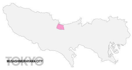 東京都武蔵村山市の位置地図 境界線無_1
 -
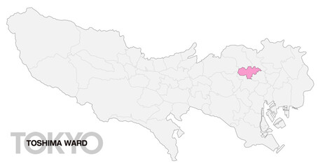 東京都豊島区の位置地図_04
 -
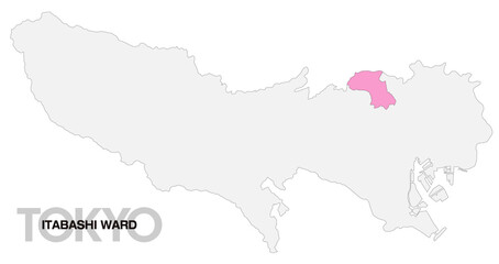 東京都板橋区の位置地図_06
 -
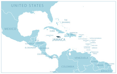 Jamaica - blue map with neighboring countries and country names. Vector illustration
 -
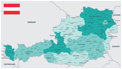 Austria Map Teal Colors
 -
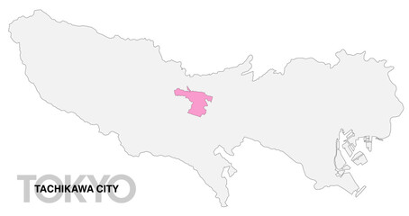 東京都立川市の位置地図 境界線無_1
 -
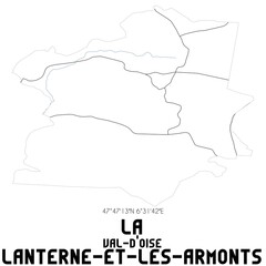 LA LANTERNE-ET-LES-ARMONTS Val-d'Oise. Minimalistic street map with black and white lines.
 -
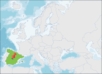 The Kingdom of Spain location on Europe map