Ulubione (0)
Koszyk
(0)
(0)
Brak produktów
Do ustalenia
Wysyłka
0,00 zł
Razem
Produkt dodany poprawnie do Twojego koszyka
Ilość
Razem
Ilość produktów w Twoim koszyku: 0.
Jest 1 produkt w Twoim koszyku.
Razem produkty:
Dostawa:
Do ustalenia
Razem
Fototapety na wymiar
-
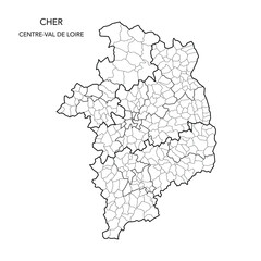 Vector Map of the Geopolitical Subdivisions of The Département Du Cher Including Arrondissements, Cantons and Municipalities as of 2022 - Centre-Val de Loire - France
 -
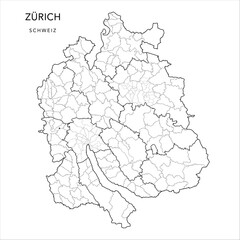 Vector Map of the Canton of Zürich with the Borders of Districts (Bezirke), Municipalities (Gemeinde), Urban Districts (Kreise) and Quarters of Zurich and Winterthur as of 2023 - Switzerland (Schweiz)
 -
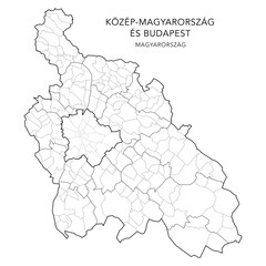 Administrative Map of Central Hungary Region (Közép-Magyarország) with Counties (Vármegyék), Districts (Járások), Municipalities (Télépülések) & Budapest Districts (Kerületek) 2024 - Hungary Vector
 -
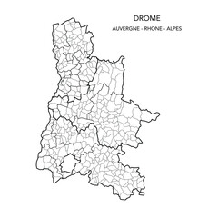 Map of the Geopolitical Subdivisions of The Département De La Drôme Including Arrondissements, Cantons and Municipalities as of 2022 - Auvergne Rhône Alpes - France
 -
 Administrative Map of Shropshire with County, Unitary Authorities and Civil Parishes as of 2022 - United Kingdom, England - Vector Map
 -
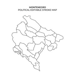 Montenegro political map outline with editable stroke design
 -
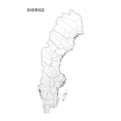 Geopolitical Vector Map of the Kingdom of Sweden (Sveridge) with Municipalities (Kommuner) and Counties (Län) Administrative Subdivisions as of 2025 - Sweden
 -
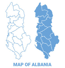 Albania Blue map flat regions border outline vector illustration
 -
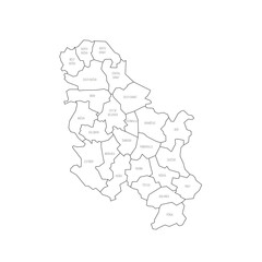 Serbia political map of administrative divisions
 -
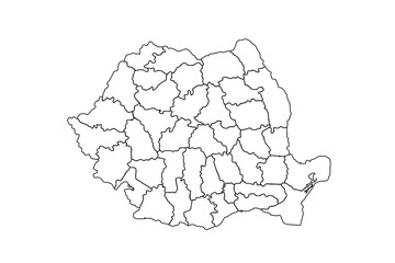 Romania map outline, linear doodle illustration. isolated on white background for website layouts,background,education, precise,customizable,Travel worldwide,map silhouette backdrop,earth geography.
 -
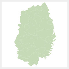 岩手県の地図
 -
 African Countries Geography Political map. Political map of country with capital, province or state capital, major cities and town.
 -
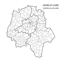 Vector Map of the Geopolitical Subdivisions of The Département De L’Indre-et-Loire Including Arrondissements, Cantons and Municipalities as of 2022 - Centre-Val de Loire
 -
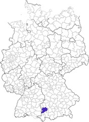 Unterallgäu district, in Bavaria, location of the district within Germany
 -
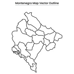 Montenegro Map Vector Outline
 -
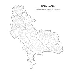 Vector Map of Una-Sana Canton (Unsko-Sanski Kanton, Unsko-Sanska Županija) with Settlements (Naselja), and Cities and Municipalities (Gradovi i Opštine, Gradovi i Općine) - FBiH, Bosnia and Herzegovin
 -
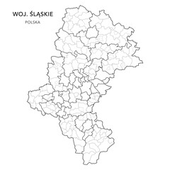 Administrative Map of the Silesian Voivodeship (Śląskie) with Municipality Areas (Obszary Gmin), Municipalities (Gminy), and Counties (Powiaty) Subdivisions as of 2025 - Poland (Polska) - Vector Map
 -
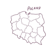 Hand Drawn Doodle Map Of Poland. Vector Illustration
 -
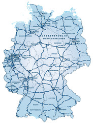 Deutschland mit Autobahnen ca 40cm x 52cm
 -
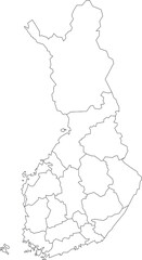 Vector map of Finland to study colorless with outline, black and white
 -
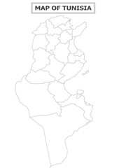
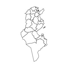 Outline Sketch Map of Tunisia With States and Cities
 -
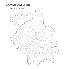 Administrative Map of Cambridgeshire with Counties, Districts and Civil Parishes as of 2022 - United Kingdom, England - Vector Map
 -
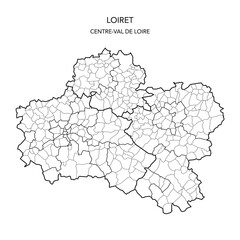 Vector Map of the Geopolitical Subdivisions of The Département Du Loiret Including Arrondissements, Cantons and Municipalities as of 2022 - Centre-Val de Loire - France
 -
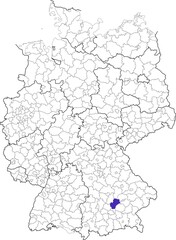 County of Freising, in Bavaria, location of the county within Germany
 -
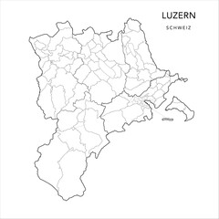 Vector Map of the Canton of Lucerne (Luzern) with Administrative Borders of Districts (Wahlkreise), Municipalities (Gemeinde) and the Urban Districts and Quarters of Lucerne as of 2023 - Switzerland
 -
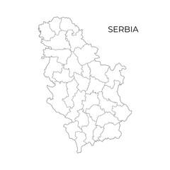 Black and white vector outline map of Serbia, showing its districts and administrative borders, suitable for educational, political, and geographic purposes
 -
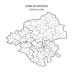 Vector Map of the Geopolitical Subdivisions of the French Department of Loire-Atlantique Including Arrondissements, Cantons and Municipalities as of 2022 - Pays De La Loire - France
 -
 Turners Station Kentucky. US street map with black and white lines.