Ulubione (0)
Koszyk
(0)
(0)
Brak produktów
Do ustalenia
Wysyłka
0,00 zł
Razem
Produkt dodany poprawnie do Twojego koszyka
Ilość
Razem
Ilość produktów w Twoim koszyku: 0.
Jest 1 produkt w Twoim koszyku.
Razem produkty:
Dostawa:
Do ustalenia
Razem
Fototapety na wymiar
-
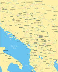 Central Balkan Map - Vector Illustration
 -
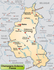 Karte von Champagne-Ardenne mit Umland
 -
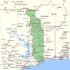 Togo-World-Countries-VectorMap-A
 -
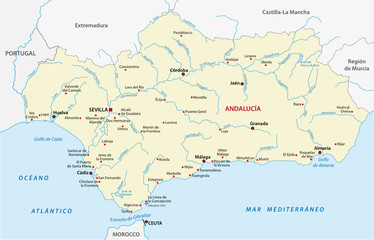 andalusia map
 -
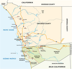 Road vector map of the cross-border agglomeration San Diego-Tijuana, Mexico, United States
 -
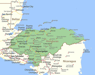 Honduras-World-Countries-VectorMap-A
 -
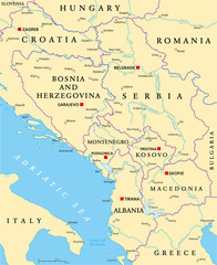 Central Balkan Political Map
 -
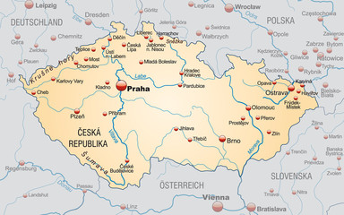 Landkarte von Tschechien mit Nachbarländern und Hauptstädten
 -
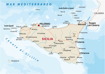 Road map of the italian mediterranean island Sicily
 -
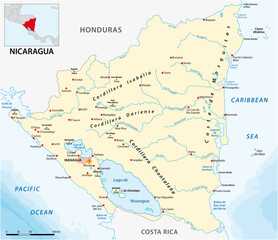 Vector map of the Central American state of Nicaragua
 -
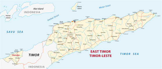 Vector road map of the Democratic Republic of Timor-Leste
 -
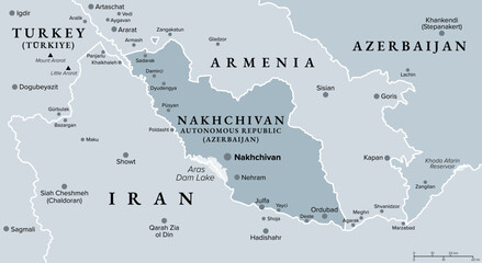 Nakhchivan Autonomous Republic, an exclave of Azerbaijan, gray political map. With Nakhchivan, the capital of the same name. The landlocked exclave is bordering Armenia, Turkey, and Iran. Vector
 -
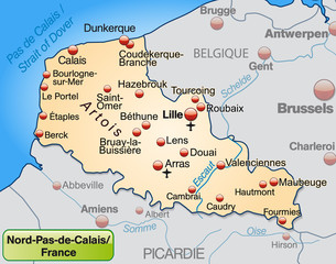 Nord-Pas-de-Calais als Übersichtskarte
 -
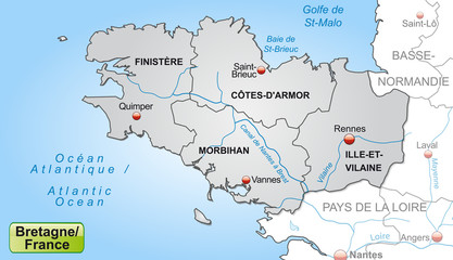 Karte der Bretagne mit Departements und Umland
 -
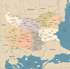 Bulgaria Map - Vintage Detailed Vector Illustration
 -
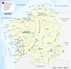 vector map of the Spanish autonomous communities of galicia
 -
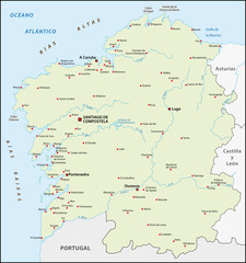 Galicien, Spanien
 -
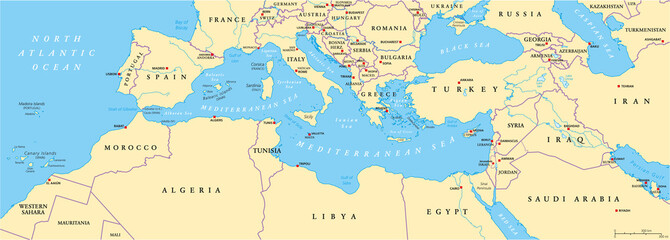 Mediterranean Basin Political Map
 -
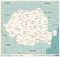 Romania Map - Vintage Detailed Vector Illustration
 -
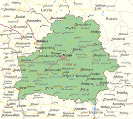 Belarus-World-Countries-VectorMap-A
 -
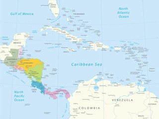 Ameryka Środkowa - bardzo szczegółowa mapa.Wszystkie elementy są oddzielone na edytowalnych warstwach wyraźnie oznakowanych. Wektor
 -
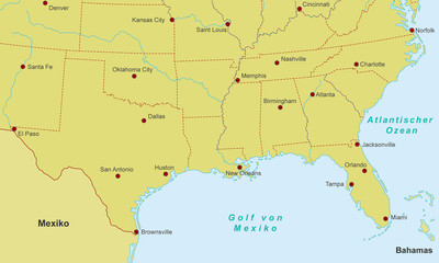 Südküste der USA - Städte (Orange)
 -
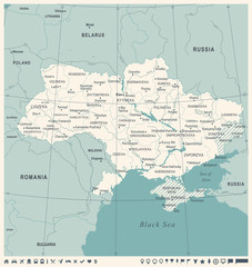 Ukraine Map - Vintage Detailed Vector Illustration
 -
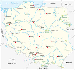 Polen, Nationalparks
 -
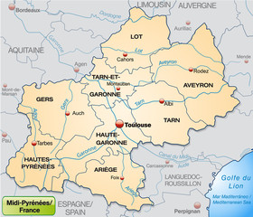 Midi-Pyrénées mit Grenzen in Pastelorange
 -
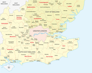 south west england administrative map
 -
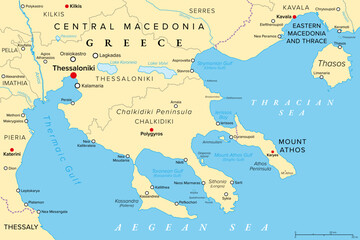 Thessaloniki and Chalkidiki, regional units of Greece, political map. Thessaloniki, 2nd-largest city in Greece, the large peninsula Chalkidiki in the Aegean Sea, and the autonomous Mount Athos region.
 -
 vector map of the border area between Syria and Turkey