Ulubione (0)
Koszyk
(0)
(0)
Brak produktów
Do ustalenia
Wysyłka
0,00 zł
Razem
Produkt dodany poprawnie do Twojego koszyka
Ilość
Razem
Ilość produktów w Twoim koszyku: 0.
Jest 1 produkt w Twoim koszyku.
Razem produkty:
Dostawa:
Do ustalenia
Razem
Fototapety na wymiar
-
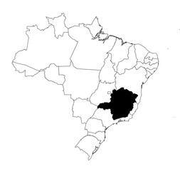 Vector map of the state of Minas Gerais highlighted highlighted in black on the map of Brazil.
 -
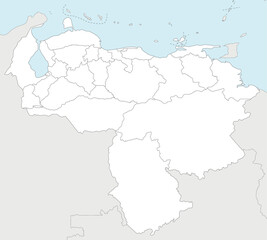 Vector blank map of Venezuela with states, capital district, federal dependencies and administrative divisions, and neighbouring countries. Editable and clearly labeled layers.
 -
 岐阜県 黄緑 地図 イラスト
 -
 Men and women praying together in a sunlit mosque, experiencing spiritual peace and community connection
 -
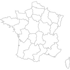 francia
 -
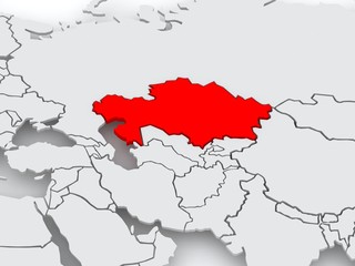 Map of worlds. Kazakhstan.
 -
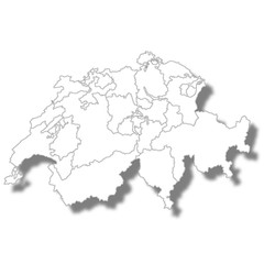
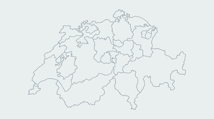 Switzerland Map Outline with Cantons - Detailed Swiss Administrative Divisions Vector Illustration for Geography & Business Projects
 -
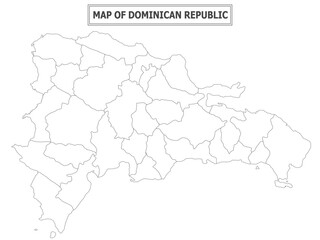
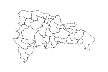 Dominican Republic map outline, linear doodle illustration. isolated on white background for website layouts,background,education, precise,customizable,Travel worldwide,map silhouette backdrop.
 -
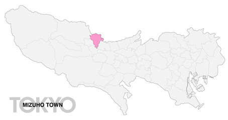 東京都瑞穂町の位置地図 境界線有_1
 -
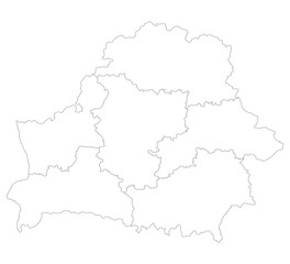 Belarus map. Map of Belarus in administrative provinces in white color
 -
 Geography politics map of countries. Map of country with capital, province or state capital, major cities and town.
 -
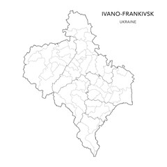 Vector Map of Ivano-Frankivsk Oblast with Administrative Subdivisions of Raions (Districts) and Hromadas (Communities) of Ivano-Frankivsk - Ukraine 2026
 -
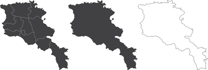 set of 3 maps of Armenia - vector illustrations
 -
 Simple blank white vector map with black borders of districts of Dresden, Germany
 -
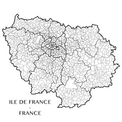 Detailed map of the region of Ile de France, France including all the administrative subdivisions (departments, arrondissements, cantons, and municipalities). Vector illustration
 -
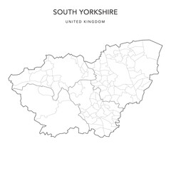 Administrative Map of South Yorkshire with County, Metropolitan Districts and Civil Parishes as of 2022 - United Kingdom, England - Vector Map
 -
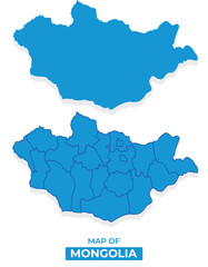 Vector Mongolia map set simple flat illustration with borders of regions
 -
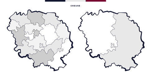 Creuse Département en Nouvelle-Aquitaine France
 -
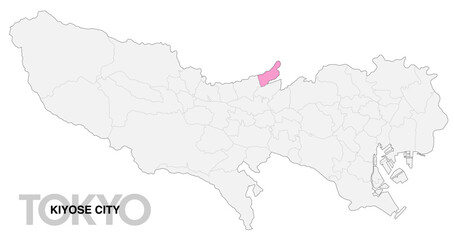 東京都清瀬市の位置地図 境界線有_1
 -
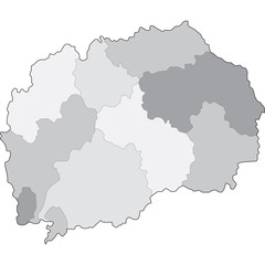 mappa macedonia
 -
 スイス 国 地図 アイコン
 -
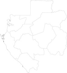 GABON MAP with its administrative divisions and regions
 -
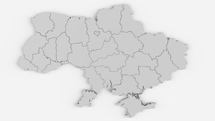 Ukraine Map with all Oblaste - very detailed - 3D Rendering
 -
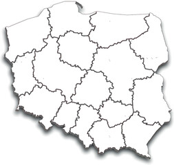 POLAND MAP WITH ADMINISTRATIVE DIVISIONS AND PROVINCES
 -
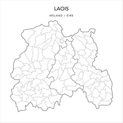 Vector Map of County Laois (Countae Laoise) with the Administrative Borders of County, Districts, Local Electoral Areas and Electoral Divisions from 2018 to 2023 - Republic of Ireland
 -
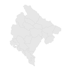 Montenegro political map with boundaries vector. Gray background. Perfect for backgrounds, business concepts, backdrop, banner, label, sticker, chart, and wallpapers.
 -
 Political map of country with capital, province or state capital, major cities and town.
 -
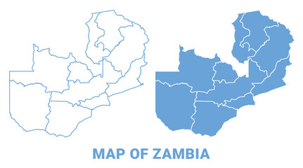 Zambia Blue map flat regions border outline vector illustration