Ulubione (0)
Koszyk
(0)
(0)
Brak produktów
Do ustalenia
Wysyłka
0,00 zł
Razem
Produkt dodany poprawnie do Twojego koszyka
Ilość
Razem
Ilość produktów w Twoim koszyku: 0.
Jest 1 produkt w Twoim koszyku.
Razem produkty:
Dostawa:
Do ustalenia
Razem
Fototapety na wymiar
-
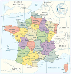 France Map - highly detailed vector illustration
 -
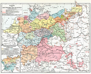 Map of Germany showing regions with different dialects of the German language. Publication of the book "Meyers Konversations-Lexikon", Volume 2, Leipzig, Germany, 1910
 -
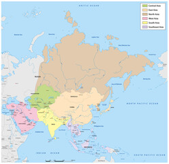 Administrative vector map of Asia divided into the six main regions
 -
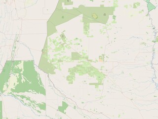
 Homa Bay, Kenya. OSM. No legend
 -
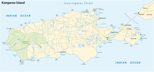 road map of the australian island kangaroo island
 -
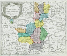
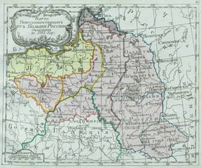 Russia old map
 -
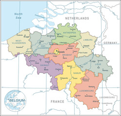 Map of Belgium - highly detailed vector illustration
 -
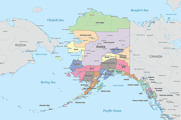 Political map showing the counties that make up the state of Alaska in the United States
 -
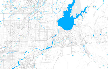 Rich detailed vector map of Folsom, California, USA
 -
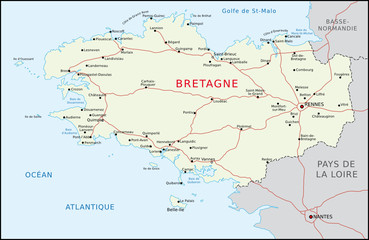 Bretagne
 -
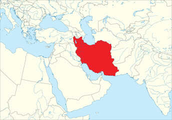 Red detailed blank political map of IRAN with black national country borders on white continent background, blue sea surfaces and rivers using orthographic projection of the Middle East
 -
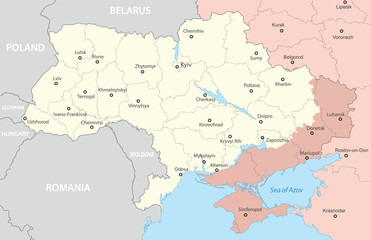 A detailed political map of Ukraine highlighting disputed regions in red
 -
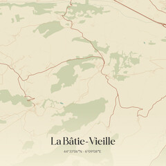 Vintage map of La Bâtie-Vieille, France.
 -
 Boqueron, Paraguay. OSM. No legend
 -
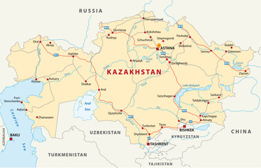 kazakhstan road map
 -
 empty world map
 -
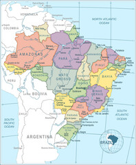 Map of Brazil - highly detailed vector illustration
 -
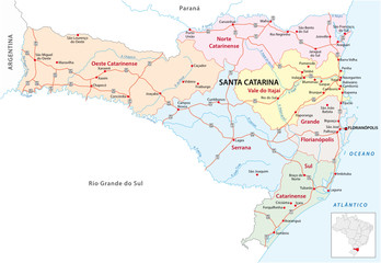 santa catarina road and administrative map brazil
 -
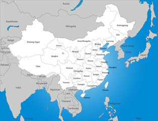 中国、台湾と周辺国の白地図、国境線、英語の地名入り
 -
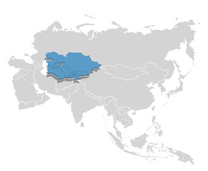 Central Asia in blue on the grey model of Asia map. Vector illustration
 -
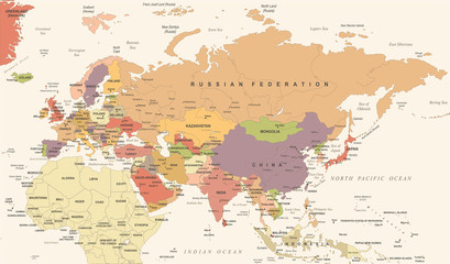 Eurasia Europa Russia China India Indonesia Thailand Map - Vector Illustration
 -
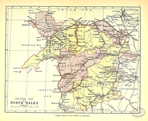 Old map
 -
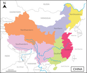 Map of People’s republic of China includes four regions, and Lancang (Mekong) River, Amur river, Yangtze river and countries, Mongolia, Russia, India, Myanmar, Korea and Vietnam
 -
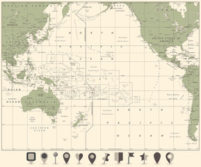 Pacific Ocean Map and flat map icons
 -
 Russia old map
 -
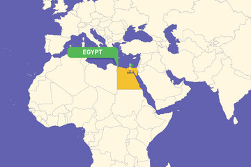 Illustration of Egypt map highlighting Cairo
 -
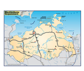 Mecklenburg-Vorpommern_Umgebung_orange
 -
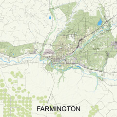 Farmington, New Mexico, United States map poster art