Ulubione (0)
Koszyk
(0)
(0)
Brak produktów
Do ustalenia
Wysyłka
0,00 zł
Razem
Produkt dodany poprawnie do Twojego koszyka
Ilość
Razem
Ilość produktów w Twoim koszyku: 0.
Jest 1 produkt w Twoim koszyku.
Razem produkty:
Dostawa:
Do ustalenia
Razem
Fototapety na wymiar
-
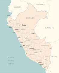 Peru - detailed map with administrative divisions country.
 -
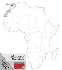 Inselkarte von Marokko mit Hauptstädten in Grau
 -
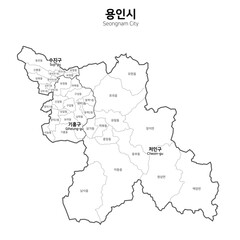 대한민국 용인시 지도
 -
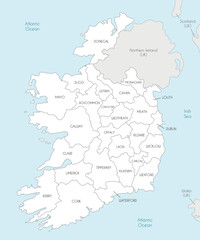 Vector map of Ireland with counties and administrative divisions, and neighbouring countries. Editable and clearly labeled layers.
 -
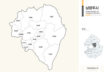 경기도 남양주시 행정동 윤곽선 지도
 -
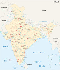 India road map with the main cities
 -
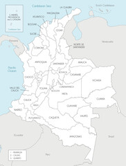 Vector map of Colombia with departments, capital region and administrative divisions, and neighbouring countries. Editable and clearly labeled layers.
 -
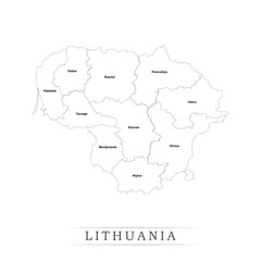 Administrative regions of LITHUANIA. Province, state, division name with white map with black outline. Vector illustration
 -
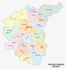 Central Federal District administrative and political vector map, Russia
 -
 Übersichtskarte von Marokko mit Landesflagge
 -
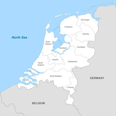 Political map of Netherlands with borders with borders of regions
 -
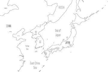 Map of Japan and Korean Peninsula. Handdrawn doodle style. Vector illustration
 -
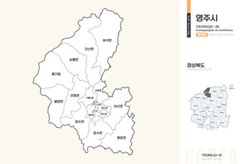 경상북도 영주시 행정동 윤곽선 지도
 -
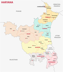 Haryana administrative and political map, India
 -
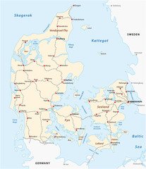 Map of the main railroad tracks in Denmark
 -
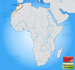
 Detailed national location map of WESTERN SAHARA within the great continent of Africa
 -
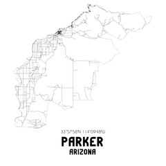 Parker Arizona. US street map with black and white lines.
 -
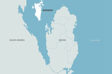 bahrain map. arab countries map. middle east countries map.
 -
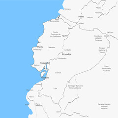 Detailed vector map Ecuador.
 -
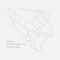 Vector map Bosnia Herzegovina divided on regions
 -
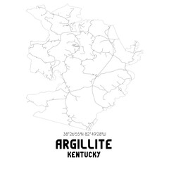 Argillite Kentucky. US street map with black and white lines.
 -
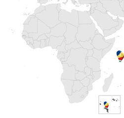 Location Map of Seychelles on map Africa. 3d Republic of Seychelles flag map marker location pin. High quality map Union of the Seychelles. Africa. EPS10.
 -
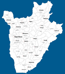 Large and detailed map of the state of Burundi in Africa
 -
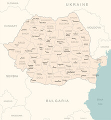 Romania - detailed map with administrative divisions country.
 -
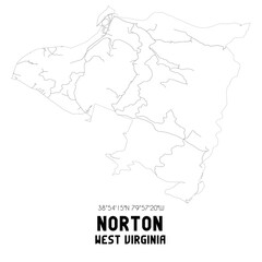 Norton West Virginia. US street map with black and white lines.
 -
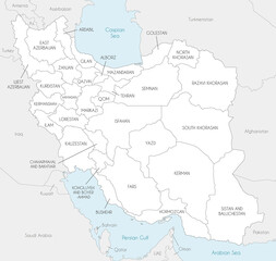 Vector map of Iran with provinces and administrative divisions, and neighbouring countries. Editable and clearly labeled layers.
 -
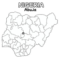 Outline of the Nigeria Map with State Boundaries with name and capital city for Educational Purposes and Planning in transparent and vector
 -
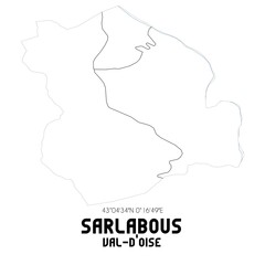 SARLABOUS Val-d'Oise. Minimalistic street map with black and white lines.