Ulubione (0)
Koszyk
(0)
(0)
Brak produktów
Do ustalenia
Wysyłka
0,00 zł
Razem
Produkt dodany poprawnie do Twojego koszyka
Ilość
Razem
Ilość produktów w Twoim koszyku: 0.
Jest 1 produkt w Twoim koszyku.
Razem produkty:
Dostawa:
Do ustalenia
Razem
Fototapety na wymiar
-
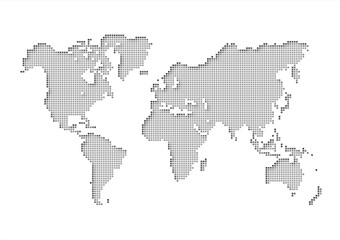 世界地図 world map
 -
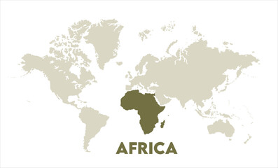
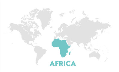 Africa map highlighted on the world map, Africa map, modern world map, Illustration, eps 10, worldwide, all continents, all countries, worldwide project
 -
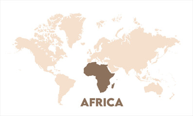
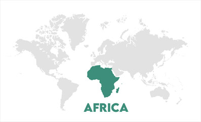 Africa map highlighted on the world map, Africa map, modern world map, Illustration, eps 10, worldwide, all continents, all countries, worldwide project
 -
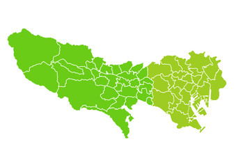 東京都のエリアマップ
 -
 A blue world map with the continents of Africa and South America
 -
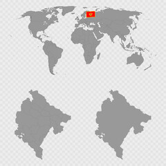 Montenegro Map Set with World Location.
 -
 planet map design
 -
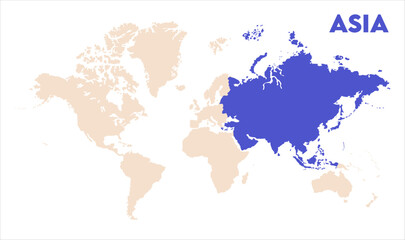
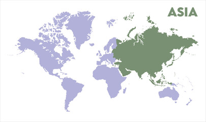 World map with Asia focus-12, Map of Asia, highlighted on the world map, Asia on the world map, Satellite view, Asia location on the globe.
 -
 Watercolor world map with Australia-10, Map of Australia, highlighted on the world map, Australia on the world map, Satellite view, Australia location on the globe.
 -
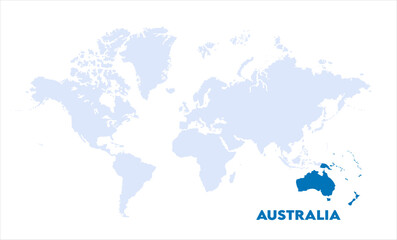
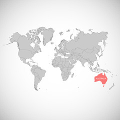 World map with the mark of the country. Australia. Vector illustration.
 -
 Africa map highlighted on the world map, Africa map, modern world map, Illustration, eps 10, worldwide, all continents, all countries, worldwide project
 -
 Africa map highlighted on the world map, Africa map, modern world map, Illustration, eps 10, worldwide, all continents, all countries, worldwide project
 -
 russia map. vector of siberian train railway map. russian railway graphic map.
 -
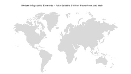 Modern Infographic Elements – Fully Editable SVG for PowerPoint, Web, Illustrator, and most vector-based applications. Ideal for presentations, infographics, and business slide designs.
 -
 Digital dot planet Earth, highlighted on a black background. A stylized globe with dots-particles. Vector illustration.
 -
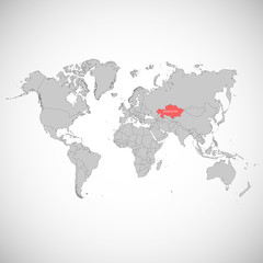 World map with the mark of the country. Kazakhstan. Vector illustration.
 -
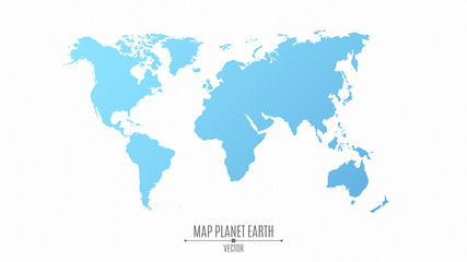 Map of the planet earth in a flat style. The continents are blue. The big planet
 -
 World map. To navigate. Vector illustration.
 -
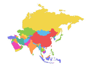 Asia map, separates individual states, color map isolated on white background blank
 -
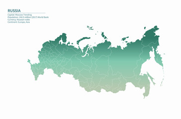
 Map of World. Green low poly gradient of rhombus shapes. Modern vector polygonal design
 -
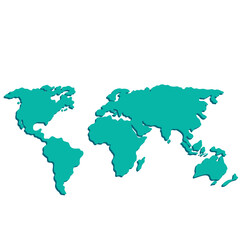
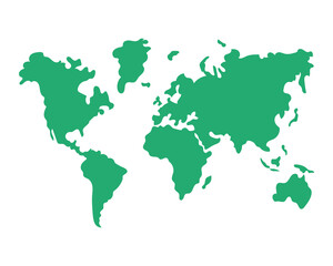
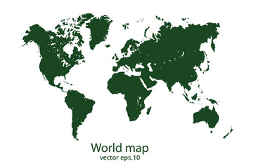 World map
 -
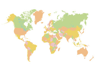 Colorful World Map
 -
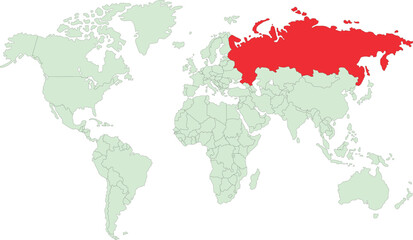 map of the world mentioned Russian map
 -
 Asia in world map-08, Map of Asia, highlighted on the world map, Asia on the world map, Satellite view, Asia location on the globe.
 -
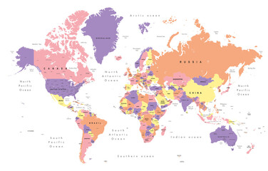 world map. Colourful Illustration showing country names, State names (USA & Australia), capital cities, major lakes and oceans. Print at no less than 36". Jpeg image
 -
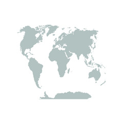
 Gray World map political, isolated on white background.
 -
 東アジア・オセアニアを中心としたドットの世界地図、中サイズ