Ulubione (0)
Koszyk
(0)
(0)
Brak produktów
Do ustalenia
Wysyłka
0,00 zł
Razem
Produkt dodany poprawnie do Twojego koszyka
Ilość
Razem
Ilość produktów w Twoim koszyku: 0.
Jest 1 produkt w Twoim koszyku.
Razem produkty:
Dostawa:
Do ustalenia
Razem
Fototapety na wymiar
-
 Polityczna mapa świata
 -
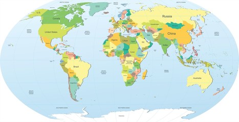 political world map in color
 -
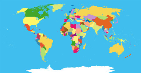 Highly Detailed Political World Map Blind
 -
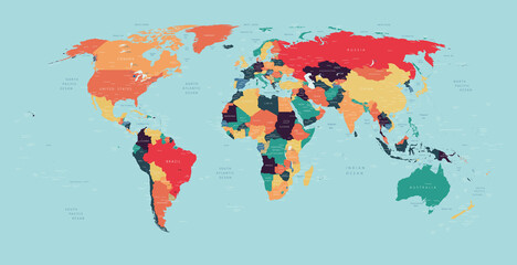 World political vector detailed map in modern colors
 -
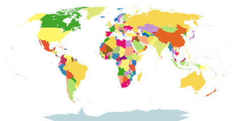
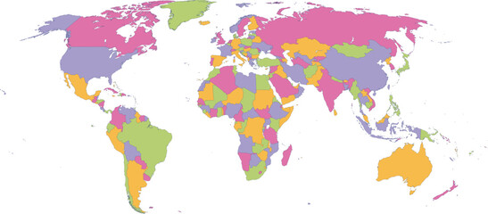
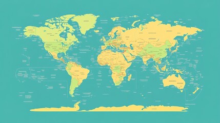 A modern, flat world map illustration with clean lines and a simple design, ideal for educational purposes.
 -
 Highly Detailed Political World Map Blind Isolated On White
 -
 Mapa świata - bardzo szczegółowe ilustracji wektorowych.
 -
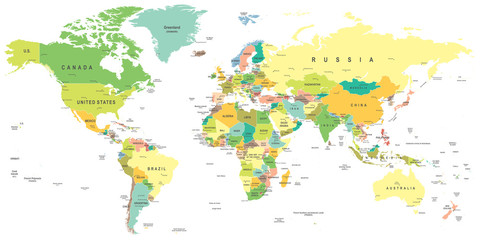
 Detailed World Map with Country Borders
 -
 Detailed Political World Map Vector Illustration
 -
 Vibrant continents: A vector illustration of the world map with various color regions, showing countries and their relative positions on Earth
 -
 Vector Global Map with Political Boundaries and Countries
 -
 Dotted world map,color world map,Vector design illustration
 -
 World Earth Continent Country Map
 -
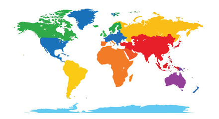
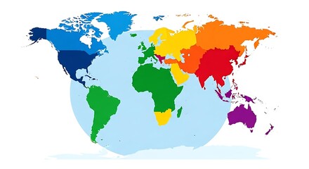 Rainbow Colored World Map with Continents in Blue, Green, Yellow, Orange, Red, and Purple on a White Background
 -
 World Map Vintage Political - Vector Detailed Illustration - Layers
 -
 Vector illustrationof color world map for children. Continents America Europe Asia Africa
 -
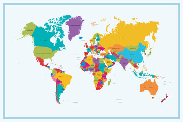
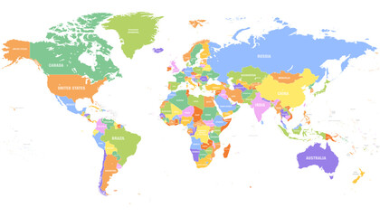
 Colorful political world map with countries shaded in bright contrasting colors, vector infographic for teaching geography and global analysis.
 -
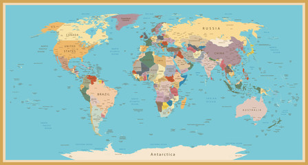 VINTAGE WORLD MAP
 -
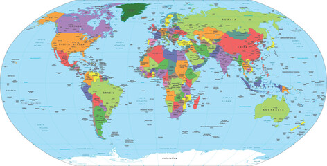
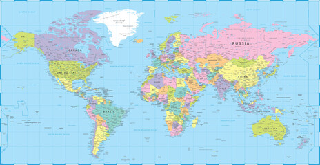
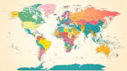
 Colored World Map - borders, countries and cities - illustration Highly detailed colored vector illustration of world map.
 -
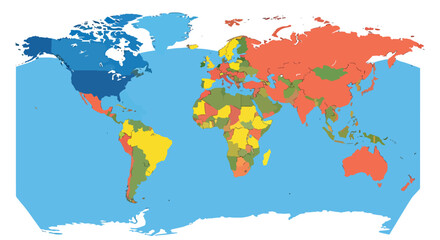
 Colorful World Map Showing All Continents and Countries.
 -
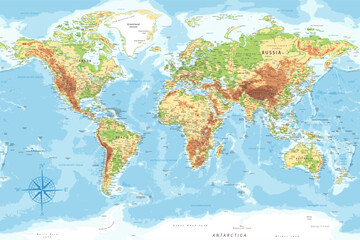 World Map - Highly Detailed Topographic Relief Vector Map of the World. Ideally for the Print Posters
 -
 Political World Map Vector Illustration
 -
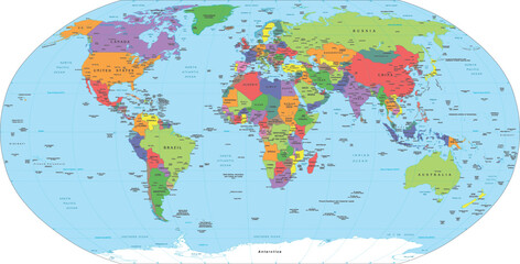
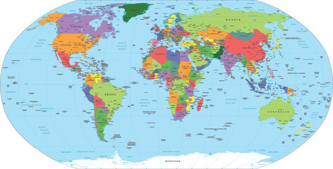
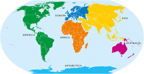 Six continents world, political map. America, Africa, Antarctica, Asia, Australia and Europe, with shorelines and borders. Robinson projection. English labeling. Isolated on white background. Vector.
 -
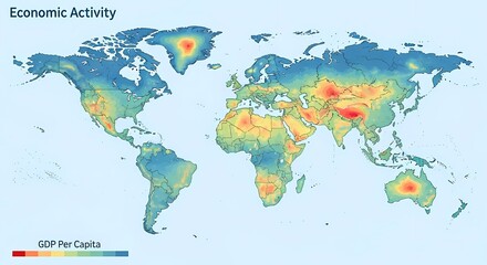 A world map visualizing economic activity, represented by GDP per capita, with a color gradient indicating varying levels of economic output across different regions.
 -
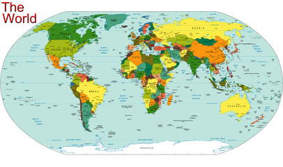
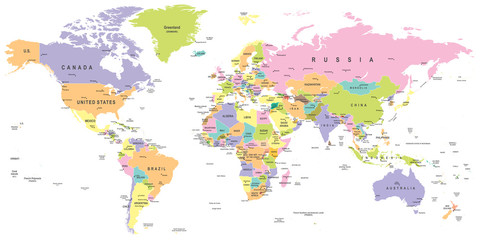
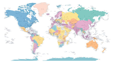
 Colored world map. Political maps, colourful world countries and country names. Geography politics map, world land atlas or planet cartography vector illustration
 -
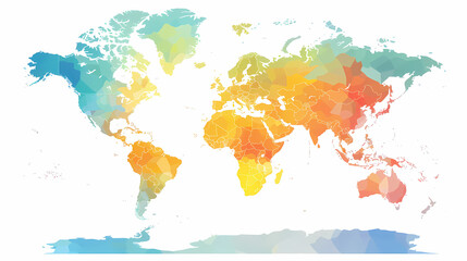
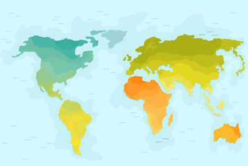
 World Map Surrounded by Tropical Leaves and Gradient Colors
 -
 World Map with four colours
 -
 A colorful world map featuring distinct countries and regions, perfect for educational and illustrative purposes.