Ulubione (0)
Koszyk
(0)
(0)
Brak produktów
Do ustalenia
Wysyłka
0,00 zł
Razem
Produkt dodany poprawnie do Twojego koszyka
Ilość
Razem
Ilość produktów w Twoim koszyku: 0.
Jest 1 produkt w Twoim koszyku.
Razem produkty:
Dostawa:
Do ustalenia
Razem
Fototapety na wymiar
-
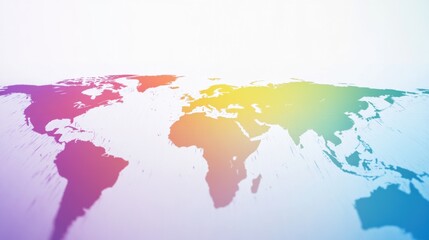
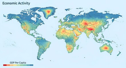 A world map visualizing economic activity, represented by GDP per capita, with a color gradient indicating varying levels of economic output across different regions.
 -
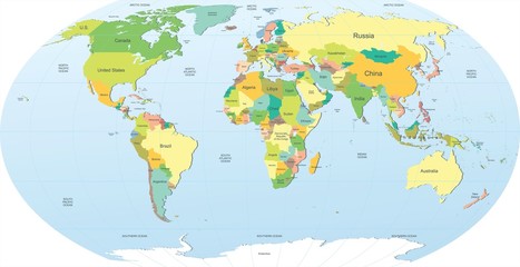
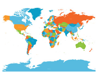 High detailed political map of World
 -
 Highly Detailed Political World Map Blind
 -
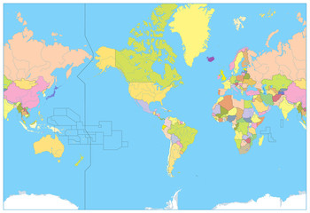
 Polityczna mapa świata
 -
 A watercolor illustration for Earth Day showing the Earth covered in plastic, highlighting the need for environmental protection
 -
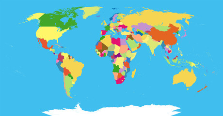
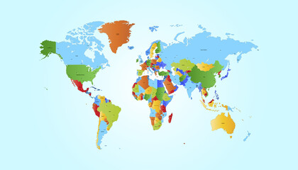
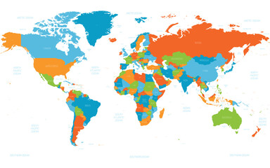
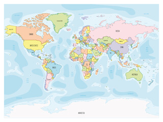
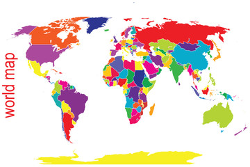
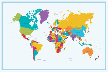 Colorful World Map Showing All Continents and Countries.
 -
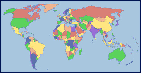
 political world map in color
 -
 Rainbow Colored World Map with Continents in Blue, Green, Yellow, Orange, Red, and Purple on a White Background
 -
 Watercolor world map (1)
 -
 World map. Color vector modern. Silhouette map.
 -
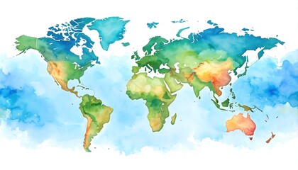
 Watercolor World Map in Colorful Tones
 -
 World political vector detailed map in modern colors
 -
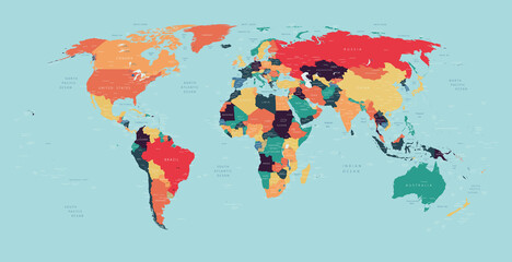
 Colorful political world map with countries shaded in bright contrasting colors, vector infographic for teaching geography and global analysis.
 -
 Global GDP inequality. Featuring a heat map showing GDP per capita around the world
 -
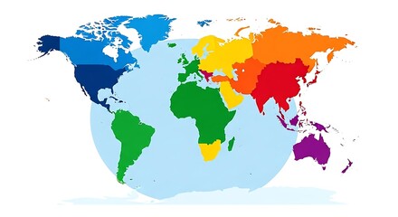
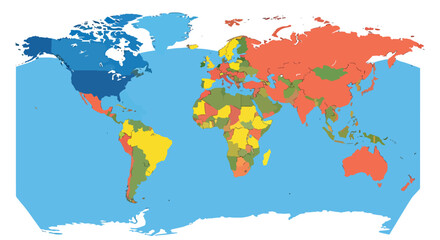
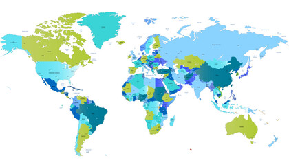
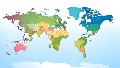 Global Color-Coded Map, World Regions
 -
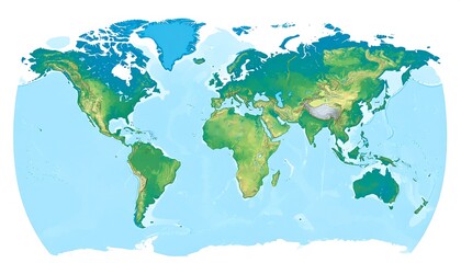 World map, shaded relief (1)
 -
 America Centered Political World Map. No text
 -
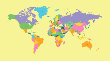
 Flat world map Bright pastel colors
 -
 High detailed political map of World
 -
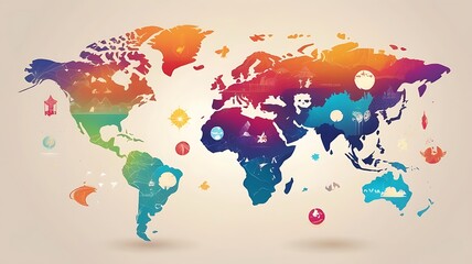
 A brightly designed infographic of the world map
 -
 Color Blank World Map
 -
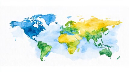
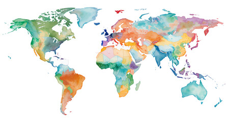
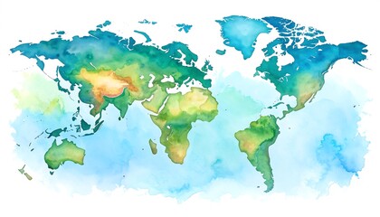 Watercolor world map
 -
 Political map of World. Colorful hand-drawn cartoon style illustrated map with bathymetry. Handwritten labels of country, capital city, sea and ocean names. Simple flat vector map.
 -
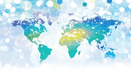 Colorful World Map with Network Connections and Abstract Background
 -
 Colorful World Map Illustrating Global Landmarks and Cultures
 -
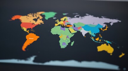 Colorful world map illustration showing different continents and countries on a black background.
 -
 World map. Color modern vector map. Silhouette map.
 -
 World map in bright tones