Ulubione (0)
Koszyk
(0)
(0)
Brak produktów
Do ustalenia
Wysyłka
0,00 zł
Razem
Produkt dodany poprawnie do Twojego koszyka
Ilość
Razem
Ilość produktów w Twoim koszyku: 0.
Jest 1 produkt w Twoim koszyku.
Razem produkty:
Dostawa:
Do ustalenia
Razem
Fototapety na wymiar
-
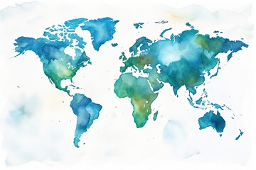
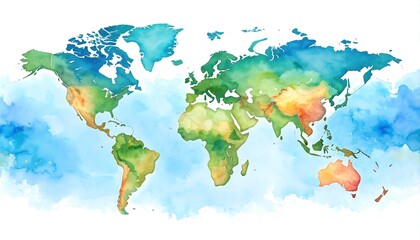 Watercolor world map (1)
 -
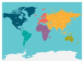
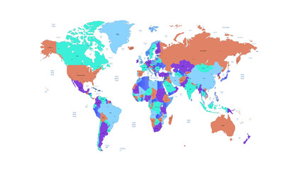
 Vector Global Map with Political Boundaries and Countries
 -
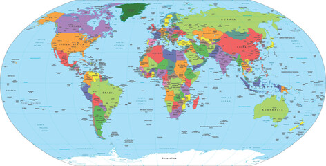
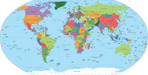
 High detailed political map of World
 -
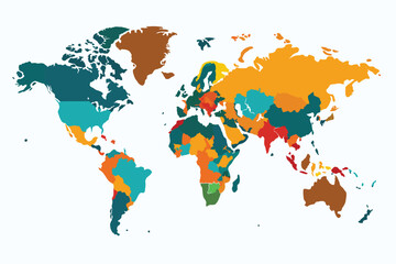
 Detailed Political World Map Vector Illustration
 -
 Dotted world map,color world map,Vector design illustration
 -
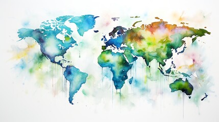 Hand drawn watercolor world map aquarelle illustration.
 -
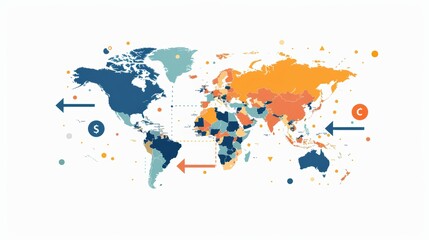 World map backdrop with directional arrows towards continents, showcasing international currencies, market diversity, and cultural symbols
 -
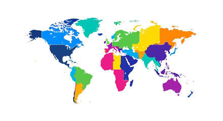
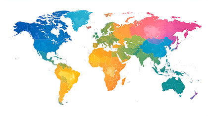 Colorful Political World Map
 -
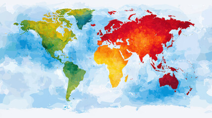 Digital map of world showcasing vibrant colors representing different regions, with watercolor effect that adds depth
 -
 Dreamworld Map – Surreal Earth as Floating Puzzle Continents with Glowing Cities
 -
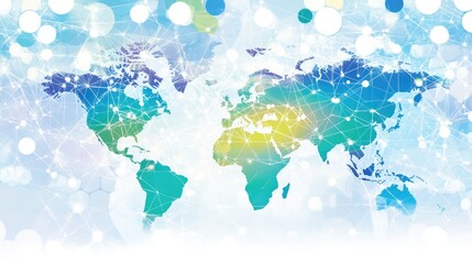 Colorful World Map with Network Connections and Abstract Background
 -
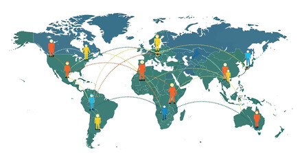 Flat vector illustration of a world map with dotted travel lines and people icons moving between countries, representing migration and connection, International Migrants Day
 -
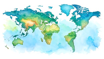
 Abstract watercolor illustration like as stylized world map in an aquarelle graphic art.
 -
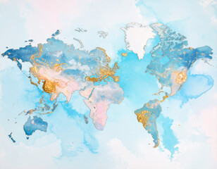
 Watercolor world map
 -
 Political map of world with Antarctica. Continents in different colors on blue background. White labels with states and significant dependent territories names. High detail vector illustration.
 -
 Watercolor world map
 -
 Flat world map Bright pastel colors
 -
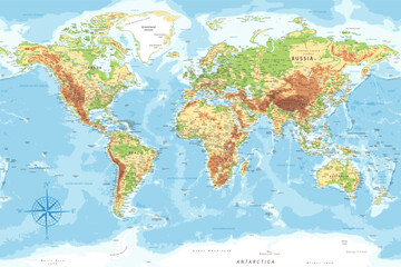 World Map - Highly Detailed Topographic Relief Vector Map of the World. Ideally for the Print Posters
 -
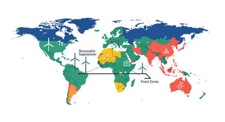 Global map illustrating renewable energy potential and fossil fuel reliance across continents, highlighting regions as renewable superpowers and fossil fuel zones.
 -
 Abstract watercolor illustration like as stylized world map in an aquarelle graphic art.
 -
 World map. Modern color vector map. Silhouette map.
 -
 Detailed political world map with capitals, rivers and lakes
 -
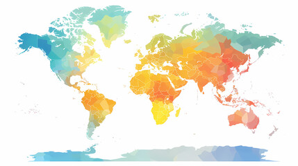
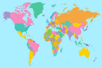 A colorful illustration of the world map with all countries clearly visible
 -
 A brightly designed infographic of the world map
 -
 world map illustration showing different countries displaying global regions useful for geography education and international business infographics
 -
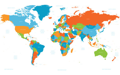
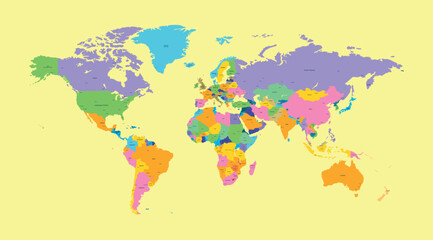
 Colorful World Map Showing Country Borders and Regions
 -
 World map. Modern color vector map. Silhouette map.
 -
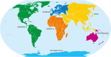 Six continents world, political map. America, Africa, Antarctica, Asia, Australia and Europe, with shorelines and borders. Robinson projection. English labeling. Isolated on white background. Vector.