Ulubione (0)
Koszyk
(0)
(0)
Brak produktów
Do ustalenia
Wysyłka
0,00 zł
Razem
Produkt dodany poprawnie do Twojego koszyka
Ilość
Razem
Ilość produktów w Twoim koszyku: 0.
Jest 1 produkt w Twoim koszyku.
Razem produkty:
Dostawa:
Do ustalenia
Razem
Fototapety na wymiar
-
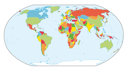
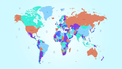
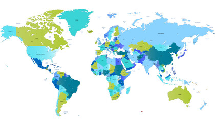
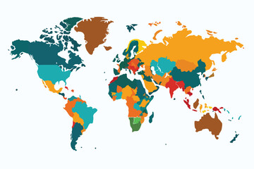 Colorful World Map Showing Country Borders and Regions
 -
 World map. Modern color vector map. Silhouette map.
 -
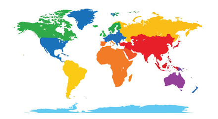
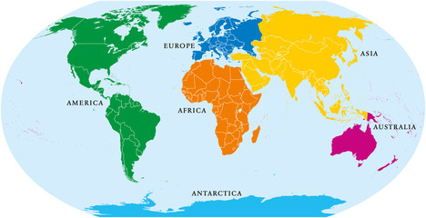 Six continents world, political map. America, Africa, Antarctica, Asia, Australia and Europe, with shorelines and borders. Robinson projection. English labeling. Isolated on white background. Vector.
 -
 Global GDP inequality. Featuring a heat map showing GDP per capita around the world
 -
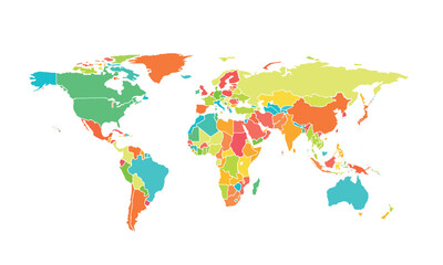
 Vibrant continents: A vector illustration of the world map with various color regions, showing countries and their relative positions on Earth
 -
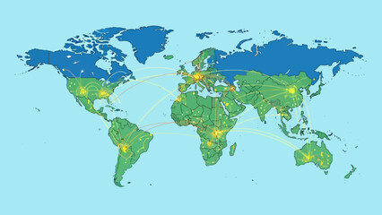
 Flat world infographic template with colorful dotted circles vector illustration
 -
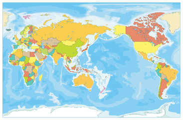
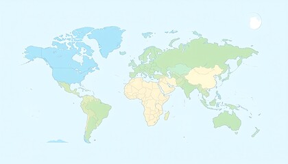
 World map atlas. Colored political map with blue seas and oceans. Vector illustration.
 -
 Pacific Centered World Colored Map and Bathymetry. No text
 -
 World map. Actual new version with South Sudan.
 -
 World Map Geography.
 -
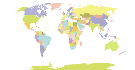
 World map. Modern color map. Silhouette map.
 -
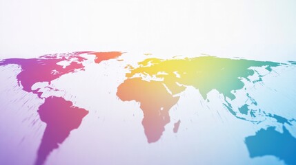
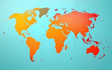
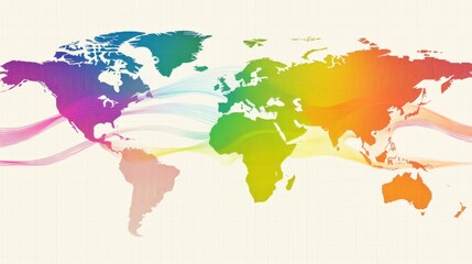 Colorful World Map with Flowing Lines and Vibrant Gradient Design
 -
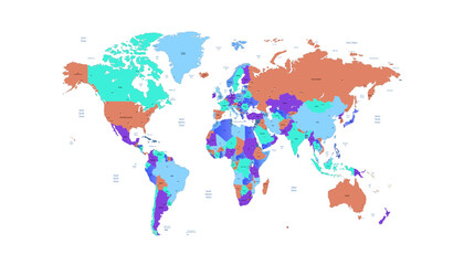
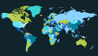
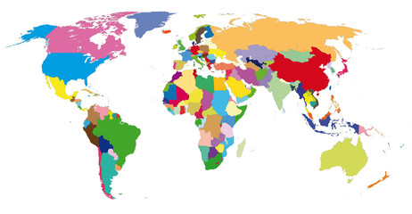
 Political detail world map with separated country. Vector
 -
 World map. Color vector modern. Silhouette map.
 -
 World map in pastel colors
 -
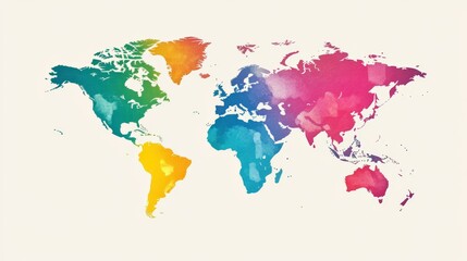
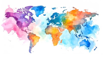 Watercolor World Map with Vibrant Continent Hues on White Background
 -
 Vibrant Watercolor World Map with Colorful Continents.
 -
 World map. Color modern vector map. Silhouette map.
 -
 World map. Color modern vector map. Silhouette map
 -
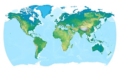 World map, shaded relief (1)
 -
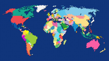 8-bit pixel style Robinson projection world map
 -
 World map isolated .modern colorful style. for website layouts, background, education, precise, customizable, Travel worldwide, map silhouette backdrop, earth geography, political, reports.
 -
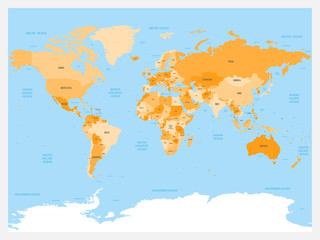
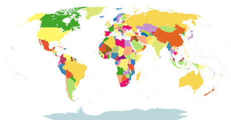 Highly Detailed Political World Map Blind Isolated On White
 -
 world-colors
 -
 World tourism day creative concept background. High quality
 -
 Colorful Artistic World Map With Watercolor Effect in Vibrant Shades of Pink, Blue, Orange, and Yellow for Background or Educational Purposes
 -
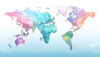
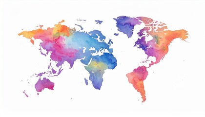 Watercolor world map with continents painted in vibrant pink, purple, blue, orange, and yellow tones on a white background, blending geography with artistic expression.
 -
 Vibrant world map illustration isolated on white background, showcasing diverse continents and countries, perfect for educational resources or global awareness campaigns