Ulubione (0)
Koszyk
(0)
(0)
Brak produktów
Do ustalenia
Wysyłka
0,00 zł
Razem
Produkt dodany poprawnie do Twojego koszyka
Ilość
Razem
Ilość produktów w Twoim koszyku: 0.
Jest 1 produkt w Twoim koszyku.
Razem produkty:
Dostawa:
Do ustalenia
Razem
Fototapety na wymiar
-
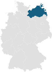 gray map of germany with 16 separated federal states, Mecklenburg-Western Pomerania highlighted blue
 -
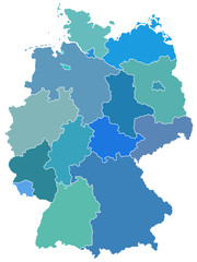
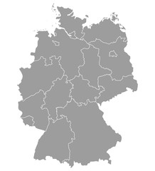 Deutschland Karte und Bundesländer Landkarte Europa
 -
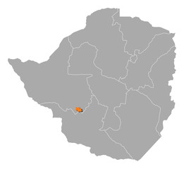 Map - Zimbabwe, Bulawayo
 -
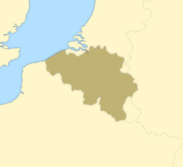 Map of Belgium
 -
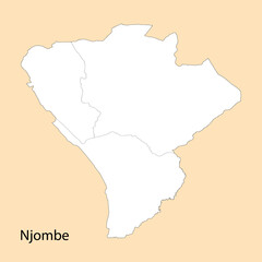 High Quality map of Njombe is a region of Tanzania
 -
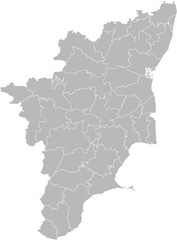 Tamil Nadu, India – administrative vector map with district boundaries (Web Mercator projection, PPT-compatible & fully editable)
 -
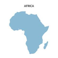 Territory of Africa continent in flat style isolated on white background. Vector clipart.
 -
 Highlighted map of FALKLAND ISLANDS-MALVINAS inside detailed blank flat political map of South (Latin) American continent on isolated background
 -
 Goa Map, India map on isolated white background. High quality coloured map of Goa.
 -
 Germany map with state borders in blue
 -
 Map of UCAYALI, a department of Peru, with its territorial divisions
 -
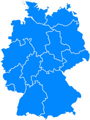
 Germany
 -
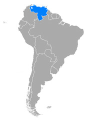 Karte von Venezuela in Südamerika
 -
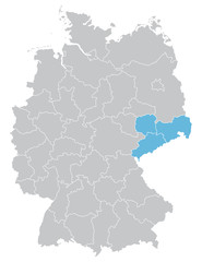 Sachsen
 -
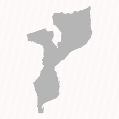 Flat Gray Mozambique Map Banner Background
 -
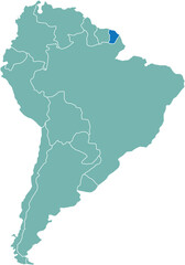 Highlighted map of FRENCH GUIANA inside detailed blank flat political map of South (Latin) American continent on isolated background
 -
 Highlighted map of SURINAME inside detailed blank flat political map of South (Latin) American continent on isolated background
 -
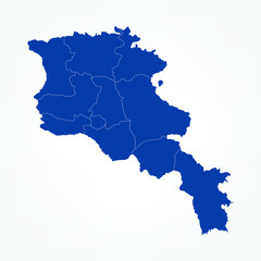 High Detailed Blue Map of Armenia on White isolated background, Vector Illustration EPS 10
 -
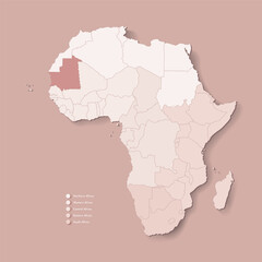 Vector Illustration with African continent with borders of all states and marked country Mauritania. Political map in brown colors with western, south and etc regions. Beige background
 -
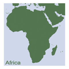 vector illustration with Political Map of Africa
 -
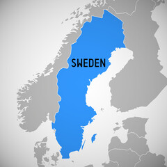 Sweden - map
 -
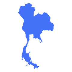 Blue solid map of Thailand on a white background
 -
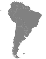
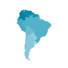 Vector illustration with map of South America continent. Blue silhouettes, white background.
 -
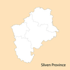 High Quality map of Sliven is a province of Bulgaria
 -
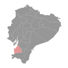 El Oro Province map, administrative division of Ecuador. Vector illustration.
 -
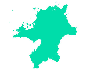 福岡県 地図 グリーン イラスト
 -
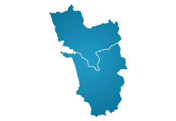
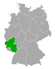 Karte von Rheinland-Pfalz in Deutschland
 -
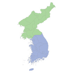 High quality political map of South Korea and North Korea with borders of the regions or provinces