Ulubione (0)
Koszyk
(0)
(0)
Brak produktów
Do ustalenia
Wysyłka
0,00 zł
Razem
Produkt dodany poprawnie do Twojego koszyka
Ilość
Razem
Ilość produktów w Twoim koszyku: 0.
Jest 1 produkt w Twoim koszyku.
Razem produkty:
Dostawa:
Do ustalenia
Razem
Fototapety na wymiar
-
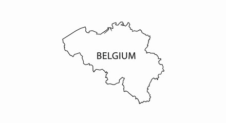
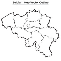 Belgium Map Vector Outline Editable Country Silhouette with Province Borders
 -
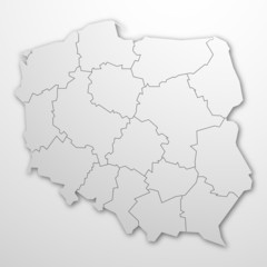 Polska - kontur
 -
 Topographic black linear background for abstraction design vintage contour mapping of illustrations, topographic contour lines vector map seamless pattern landscape geodesy topographic map background.
 -
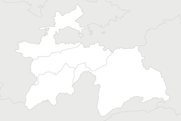
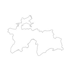 Tajikistan blank outline map
 -
 belgio
 -
 Bruck-Murzzuschlag district (Republic of Austria or Österreich, Styria, Steiermark or Štajerska state) map vector illustration, scribble sketch Bezirk Bruck-Mürzzuschlag map
 -
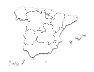
 Map of Spain
 -
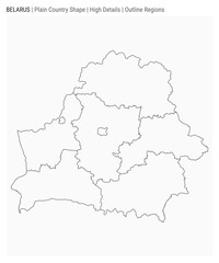 Belarus plain country map. High Details. Outline Regions style. Shape of Belarus. Vector illustration.
 -
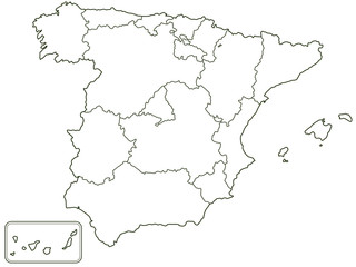
 SPAIN MAP WITH ITS PROVINCES AND POLITICAL ADMINISTRATIVE DIVISIONS
 -
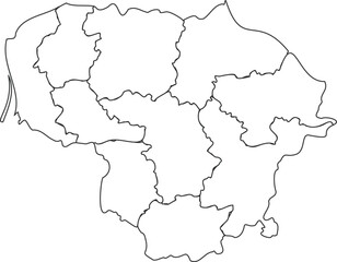 Outline map of Lithuania vector illustration
 -
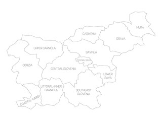 Slovenia - map of statistical regions
 -
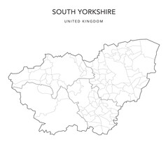 Administrative Map of South Yorkshire with County, Metropolitan Districts and Civil Parishes as of 2022 - United Kingdom, England - Vector Map
 -
 A grayscale outline of belgium with the country s name prominently displayed within its borders
 -
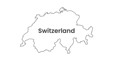 Switzerland map country shape background
 -
 Spain
Spain -
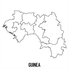 guinea - solid black outline border map of country area. Simple flat vector illustration.
 -
 3d isometric map of South Lanarkshire is a region of Scotland,
 -
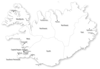 Simple vector map of Iceland with regions & cities
 -
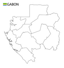 Gabon map, black and white detailed outline regions of the country. Vector illustration
 -
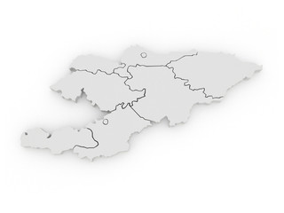 Map of Kyrgyzstan
 -
 Sierra Leone Map with Provinces
 -
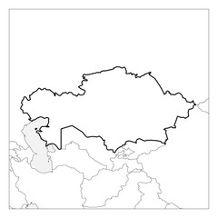 Map of Kazakhstan black thick outline highlighted with neighbor countries
 -
 Vector regional blank map of Tajikistan with provinces and administrative divisions, and neighbouring countries and territories. Editable and clearly labeled layers.
 -
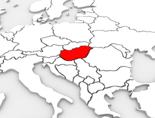 Hungary Country Abstract 3D Illustrated Map Europe Continent
 -
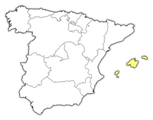 Map of Spain, Balearic Islands highlighted
 -
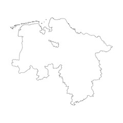 Niedersachsen state blank outline map
 -
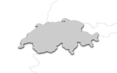 Map of Swizerland
 -
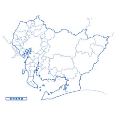 愛知県地図 シンプル白地図 市区町村