Ulubione (0)
Koszyk
(0)
(0)
Brak produktów
Do ustalenia
Wysyłka
0,00 zł
Razem
Produkt dodany poprawnie do Twojego koszyka
Ilość
Razem
Ilość produktów w Twoim koszyku: 0.
Jest 1 produkt w Twoim koszyku.
Razem produkty:
Dostawa:
Do ustalenia
Razem
Fototapety na wymiar
-
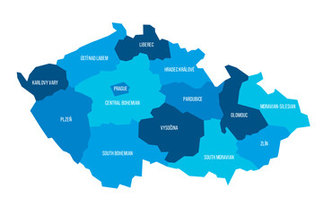 Czech Republic political map of administrative divisions - regions. Flat blue vector map with name labels.
 -
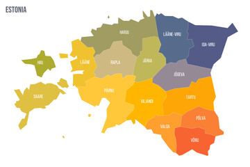 Estonia political map of administrative divisions - counties. Colorful spectrum political map with labels and country name.
 -
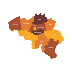 Belgium political map of administrative divisions - provinces. Flat vector map with name labels. Brown - orange color scheme.
 -
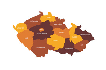 Czech Republic political map of administrative divisions - regions. Flat vector map with name labels. Brown - orange color scheme.
 -
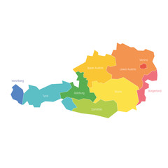 States of Austria. Map of regional country administrative divisions. Colorful vector illustration
 -
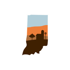 Indiana State Shape with Farm at Sunset w Windmill, Barn, and a Tree
 -
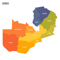
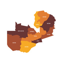 Zambia political map of administrative divisions - provinces. Flat vector map with name labels. Brown - orange color scheme.
 -
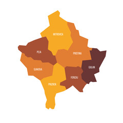 Kosovo political map of administrative divisions - districts. Flat vector map with name labels. Brown - orange color scheme.
 -
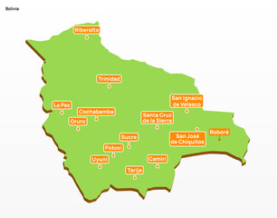 3d vector illustration graphic green color geographical map of Bolivia with largest cities shown
 -
 El Salvador political map of administrative divisions
 -
 Infographic Vector Template
 -
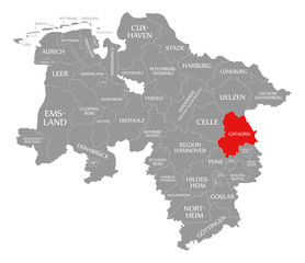 Gifhorn county red highlighted in map of Lower Saxony Germany
 -
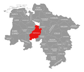 Diepholz county red highlighted in map of Lower Saxony Germany
 -
 States of Austria. Map of regional country administrative divisions. Colorful vector illustration
 -
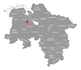 Oldenburg city county red highlighted in map of Lower Saxony Germany
 -
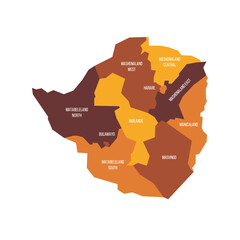 Zimbabwe political map of administrative divisions - provinces. Flat vector map with name labels. Brown - orange color scheme.
 -
 West Africa Region. Map of countries in western Africa. Vector illustration
 -
 Wolfsburg county red highlighted in map of Lower Saxony Germany
 -
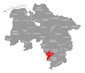 Holzminden county red highlighted in map of Lower Saxony Germany
 -
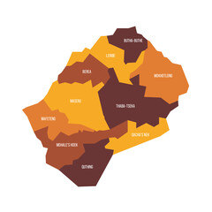 Lesotho political map of administrative divisions - districts. Flat vector map with name labels. Brown - orange color scheme.
 -
 La nouvelle carte des régions
 -
 Zambia political map of administrative divisions - provinces. Colorful spectrum political map with labels and country name.
 -
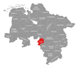 Schaumburg county red highlighted in map of Lower Saxony Germany
 -
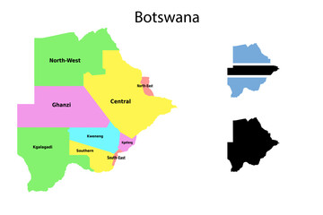 Botswana administrative divisions. Botswana flag and map illustration vector. Districts of Botswana
 -
 Muelheim an der Ruhr red highlighted in map of North Rhine Westphalia DE
 -
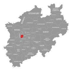
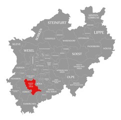 Rhein Erft Kreis red highlighted in map of North Rhine Westphalia DE
 -
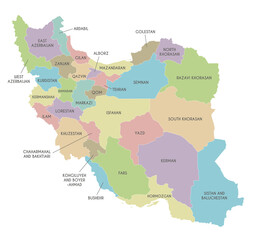 Vector map of Iran with provinces and administrative divisions. Editable and clearly labeled layers.
 -
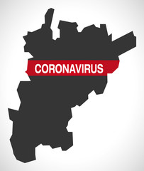 Uri SWITZERLAND canton map with Coronavirus warning illustration