Ulubione (0)
Koszyk
(0)
(0)
Brak produktów
Do ustalenia
Wysyłka
0,00 zł
Razem
Produkt dodany poprawnie do Twojego koszyka
Ilość
Razem
Ilość produktów w Twoim koszyku: 0.
Jest 1 produkt w Twoim koszyku.
Razem produkty:
Dostawa:
Do ustalenia
Razem
Fototapety na wymiar
-
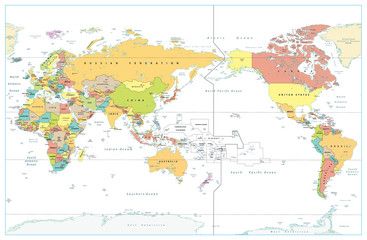
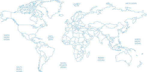 Outline World Map with Oceans Vector Illustration
 -
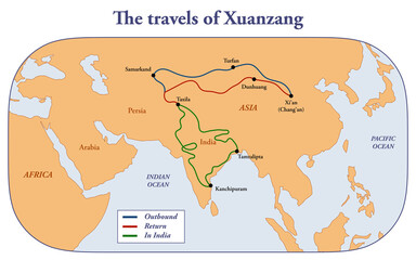 Map of the voyages of Chinese traveler Xuanzang
 -
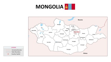 Mongolia Map. State map of Mongolia. Administrative map of Mongolia with state and capital in white color.
 -
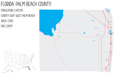 Large and detailed map of Palm Beach County in Florida, USA.
 -
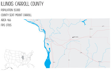 Large and detailed map of Carroll County in Illinois, USA.
 -
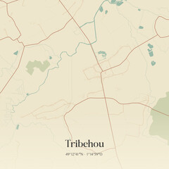 Vintage map of Tribehou, France.
 -
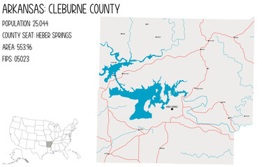 Large and detailed map of Cleburne County in Arkansas, USA.
 -
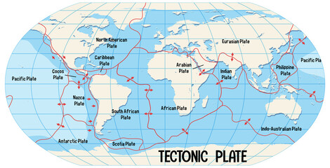 World Map Showing Tectonic Plates Boundaries
 -
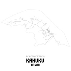 Kahuku Hawaii. US street map with black and white lines.
 -
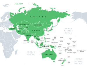 Asia-Pacific, or the Indo-Pacific, political map. Countries and territories of a major geopolitical and economic region of the world, adjoining the western Pacific Ocean, highlighted in green. Vector
 -
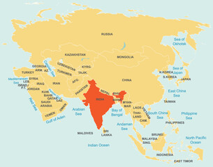 Highlighted red map of INDIA inside orange detailed tagged map of Asia using orthographic projection on blue background
 -
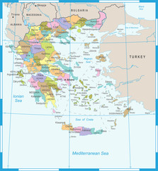 Greece Map - Detailed Vector Illustration
 -
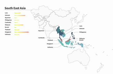 asian countries map. asia map. asean union.
 -
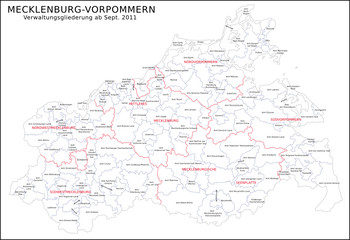 Mecklenburg-Vorpommern Verwaltungsgliederung ab Sept. 2011
 -
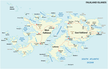 Falkland Islands, also Malvinas, political vector road map
 -
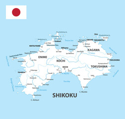 Shikoku Map. Map of Japan Prefecture. White color
 -
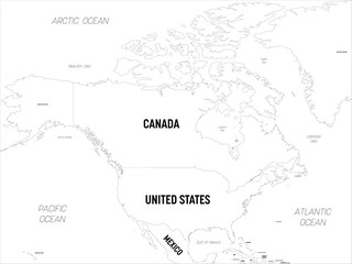 North America map. High detailed political map North American continent with country, capital, ocean and sea names labeling
 -
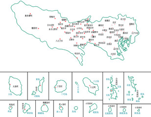 東京都 地図 白 斑点 イラスト
 -
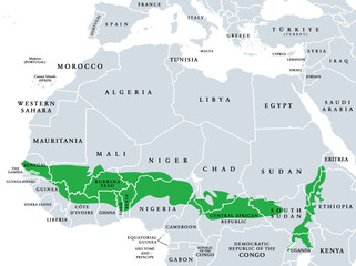 Sudanian savanna, political map. Broad belt of tropical savanna across the African continent, divided into two ecoregions. West (Atlantic to Nigeria) and East Sudanian savanna (Cameroon to Ethiopia).
 -
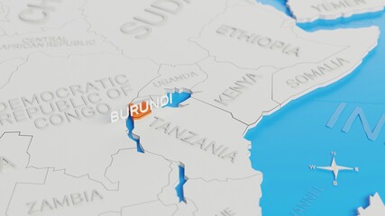 Burundi highlighted on a white simplified 3D world map. Digital 3D render.
 -
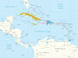 Karaiby - bardzo szczegółowa mapa. Użyte warstwy.
 -
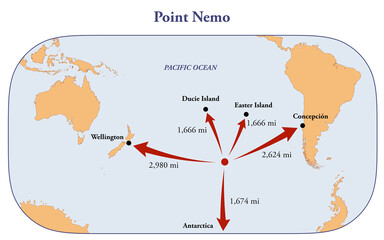 Map of Point Nemo, the remotest place on Earth
 -
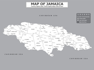 American Countries Geography Political map. Political map of country with capital, province or state capital, major cities and town.
 -
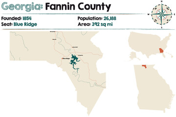 Large and detailed map of Fannin county in Georgia, USA.
 -
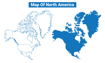 North America simple flat vector map outline style illustration set
 -
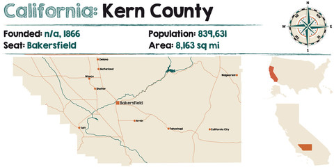 Large and detailed map of California - Kern County.
 -
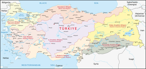 Türkei, Geographische Gebiete
 -
 Pacific Centered World Colored Map Isolated on white