Ulubione (0)
Koszyk
(0)
(0)
Brak produktów
Do ustalenia
Wysyłka
0,00 zł
Razem
Produkt dodany poprawnie do Twojego koszyka
Ilość
Razem
Ilość produktów w Twoim koszyku: 0.
Jest 1 produkt w Twoim koszyku.
Razem produkty:
Dostawa:
Do ustalenia
Razem
Fototapety na wymiar
-
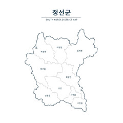 Jeongseon map. Map of South Korea with Major Cities, Clean Line Design on White Background.
 -
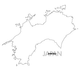 四国の白地図 県境無し
 -
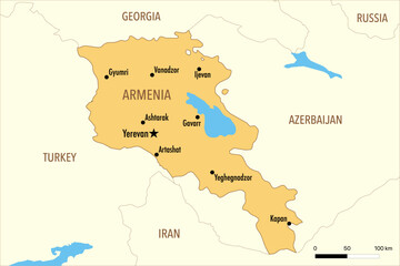 Vector Map of Armenia with Major Cities and Neighboring Countries – Editable Illustration
 -
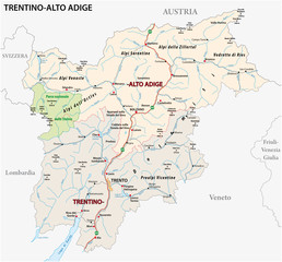 Road map of the italian region Trentino-Alto Adige
 -
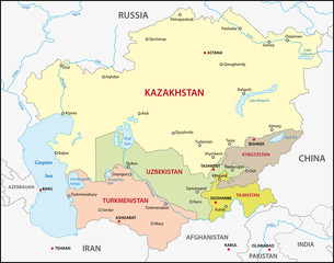 Central Asia
 -
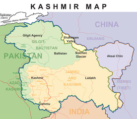 Kashmir Political Maps with Cities Name
 -
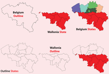 Wallonia map vector of Belgium, Wallonia line map, Wallonia with city map, Wallonia outline map
 -
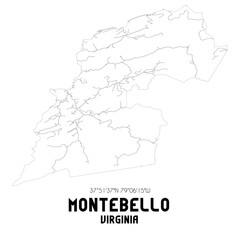 Montebello Virginia. US street map with black and white lines.
 -
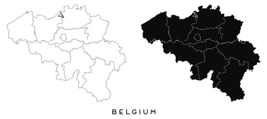
 Belgium blank outline map
 -
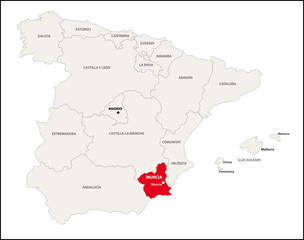
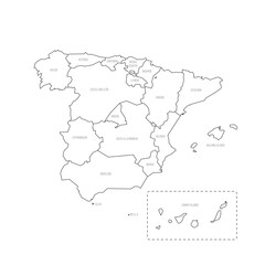 Spain political map of administrative divisions
 -
 Topographic black linear background for abstraction design vintage contour mapping of illustrations, topographic contour lines vector map seamless pattern landscape geodesy topographic map background.
 -
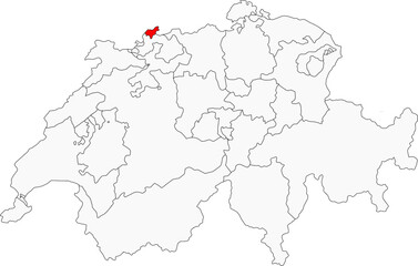 Map of Switzerland highlighting the city-state of Basel-Stadt. Ideal for projects on its cultural scene, pharmaceutical industry, and location on the Rhine River
 -
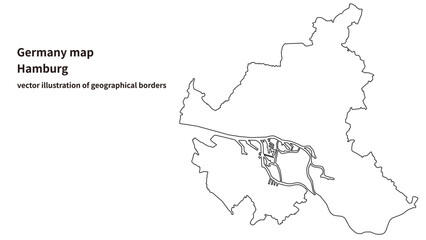 Hamburg Map – Detailed City-State Map of Germany
 -
 Bradshaw West Virginia. US street map with black and white lines.
 -
 Jeonbuk State map. Map of South Korea with Major Cities, Clean Line Design on White Background.
 -
 War West Virginia. US street map with black and white lines.
 -
 本地図 九州 大分県 県境有り 03
 -
 Belgium map of city regions districts vector black on white and outline
 -
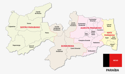 paraiba administrative and political map with flag
 -
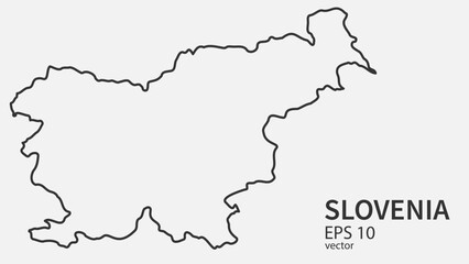 Vector line map of Slovenia. Vector design isolated on white background.
 -
 ZIGLIARA Val-d'Oise. Minimalistic street map with black and white lines.
 -
 Autonome Region Murcia, Spanien
 -
 Costa Rica map icon
 -
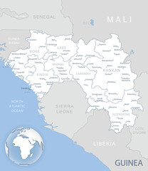 Blue-gray detailed map of Guinea administrative divisions and location on the globe. Vector illustration
 -
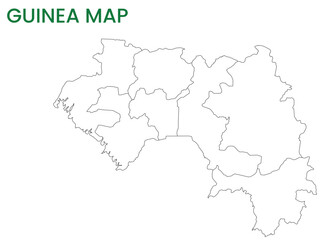 High detailed map of Guinea. Outline map of Guinea. Africa
 -
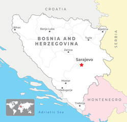 Bosnia and Herzegovina Political Map with capital Sarajevo, most important cities and national borders
 -
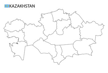 Kazakhstan map, black and white detailed outline regions of the country.
 -
 Bijapur district (Karnataka State, Republic of India, Belgaum Division) map vector illustration, scribble sketch Vijayapura map