Ulubione (0)
Koszyk
(0)
(0)
Brak produktów
Do ustalenia
Wysyłka
0,00 zł
Razem
Produkt dodany poprawnie do Twojego koszyka
Ilość
Razem
Ilość produktów w Twoim koszyku: 0.
Jest 1 produkt w Twoim koszyku.
Razem produkty:
Dostawa:
Do ustalenia
Razem
Fototapety na wymiar
-
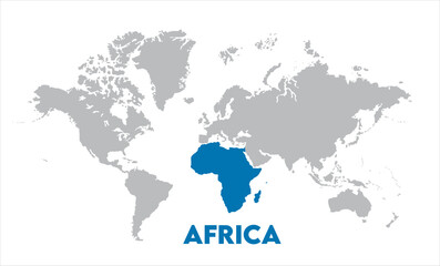 Africa map highlighted on the world map, Africa map, modern world map, Illustration, eps 10, worldwide, all continents, all countries, worldwide project
 -
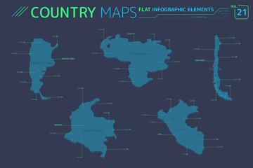 Venezuela, Colombia, Argentina, Peru and Chile Vector Maps
 -
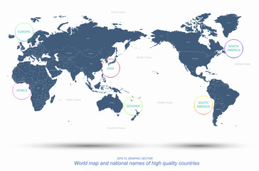 world map named vector. detailed continents world map
 -
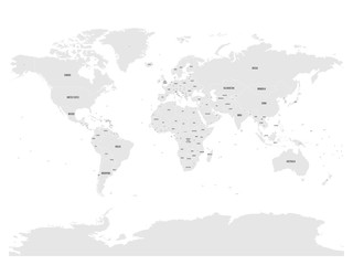 Political map of world with in grey. EPS10 vector illustration.
 -
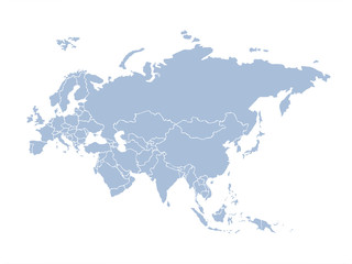 Eurasia. Continent with the contours of the countries. Vector drawing
 -
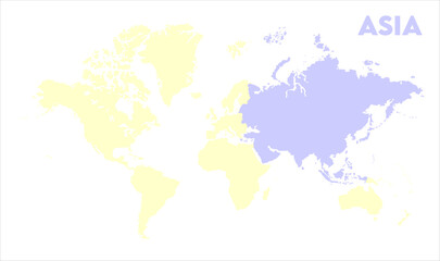
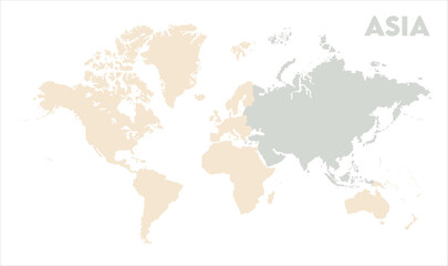
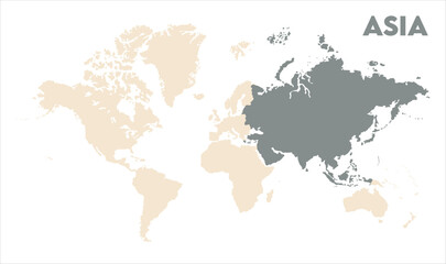 Asia outline in global map-11, Map of Asia, highlighted on the world map, Asia on the world map, Satellite view, Asia location on the globe.
 -
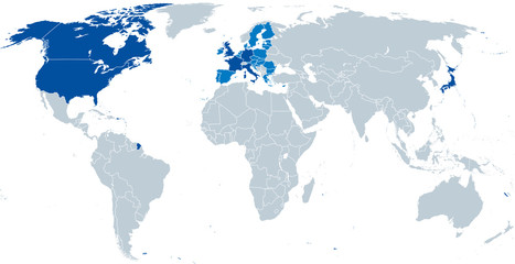 G7, Grupa siedmiu, mapa. Największe zaawansowane gospodarki świata. Kanada, Francja, Niemcy, Włochy, Japonia, Wielka Brytania, Stany Zjednoczone. Uczestniczył przewodniczący Rady Unii Europejskiej, jasnoniebieski. Wektor.
 -
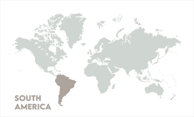
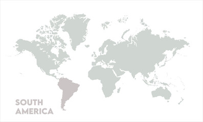 Vector world map with South America-04, Map of South America, highlighted on the world map, South America on the world map, Satellite view, South America's location on the globe.
 -
 Map of World watercolor painting
 -
 Coordinates & Curves: A Sophisticated Vector Map
 -
 World map Image
 -
 Vector world map with South America-14, Map of South America, highlighted on the world map, South America on the world map, Satellite view, South America's location on the globe.
 -
 Vector world map with South America-05, Map of South America, highlighted on the world map, South America on the world map, Satellite view, South America's location on the globe.
 -
 Minimalist Asia map-15, Map of Asia, highlighted on the world map, Asia on the world map, Satellite view, Asia location on the globe.
 -
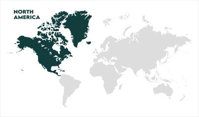 North America map-09, Map of North America, highlighted on the world map, North America on the world map, Satellite view, North America's location on the globe.
 -
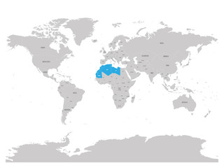 Map of Maghreb countries - Northwest Africa states blue highlighted in World map. Vector illustration
 -
 Ilkhanate the largest borders map on all world with all sea and ocean names
 -
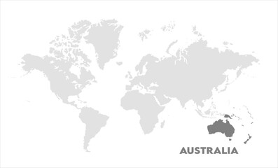 World map with Australia focus-03, Map of Australia, highlighted on the world map, Australia on the world map, Satellite view, Australia location on the globe.
 -
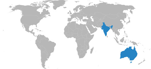 India, Australia isolated on world map. Light gray background. Business concepts, diplomatic, trade and transport relations.
 -
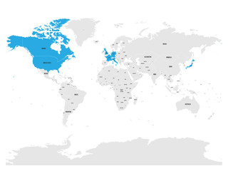 Group of Seven countries, G7, highlighted in the World map. Vector illustration.
 -
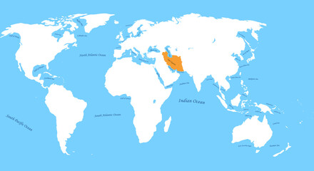 Qajar Dynasty the largest borders map on all world with all sea and ocean names
 -
 vector illustration with world map
 -
 Asia outline in global map-13, Map of Asia, highlighted on the world map, Asia on the world map, Satellite view, Asia location on the globe.
 -
 Political world map, world map picture, world map vector image, modern world map, Illustration, eps 10, worldwide, all continents, all countries, worldwide project
 -
 World map paper. Political map of the world on a gray background.
 -
 Zestaw pinezek i markerów mapy świata
 -
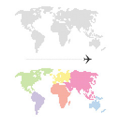 Color Dotted World Map
 -
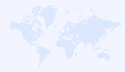 World map Image