Ulubione (0)
Koszyk
(0)
(0)
Brak produktów
Do ustalenia
Wysyłka
0,00 zł
Razem
Produkt dodany poprawnie do Twojego koszyka
Ilość
Razem
Ilość produktów w Twoim koszyku: 0.
Jest 1 produkt w Twoim koszyku.
Razem produkty:
Dostawa:
Do ustalenia
Razem
Fototapety na wymiar
-
 African Countries Geography Political map. Political map of country with capital, province or state capital, major cities and town.
 -
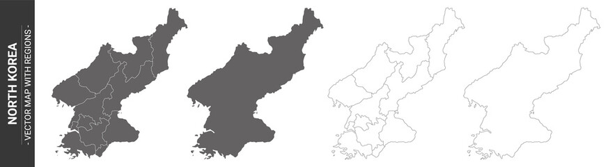 set of 4 political maps of North Korea with regions isolated on white background
 -
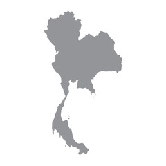 Thailand map gray
 -
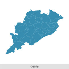 map of Odisha is a state of India with districts
 -
 Guizhou administrative map
 -
 sardegna
 -
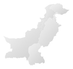 Map - Pakistan
 -
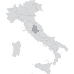
 Italy map silhouette vector illustration isol
 -
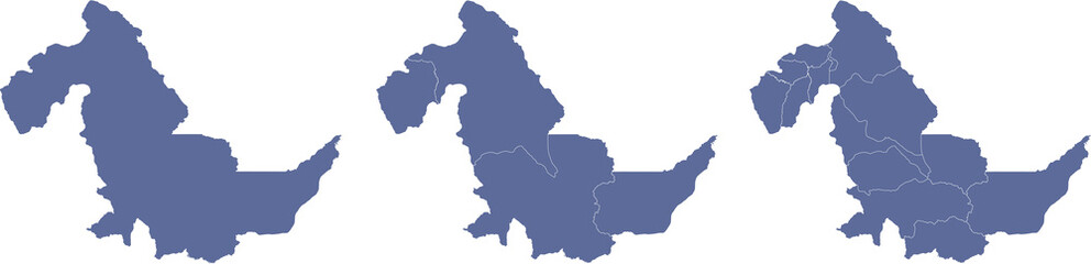
 Ngabe-Bugle, Panama – administrative vector map with district boundaries (Web Mercator projection, PPT-compatible & fully editable)
 -
 Karte von Rondonia in Brasilien
 -
 Salta, Argentina – administrative vector map with department boundaries (Web Mercator projection, PPT-compatible & fully editable)
 -
 Map - France
 -
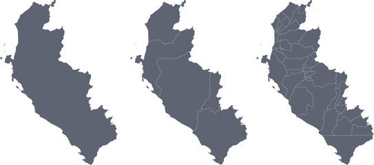
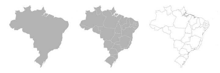 Set of BRAZIL Maps with Main Map and Regional maps
 -
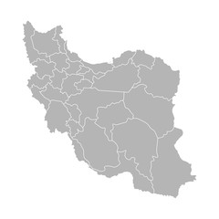 Vector isolated illustration of simplified administrative map of Iran. Borders of the provinces (regions). Grey silhouettes. White outline
 -
 Simple blank gray vector map with white borders of urban city districts of Winterthur, Switzerland
 -
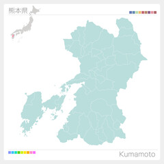
 熊本県 地図 黄緑 イラスト
 -
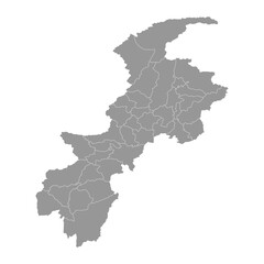 Khyber Pakhtunkhwa map with districts. Vector illustration.
 -
 Map of ICA, a department of Peru, with its territorial divisions
 -
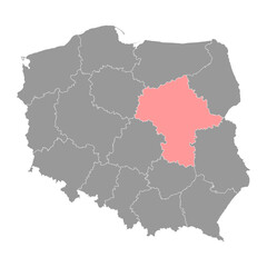 Masovian Voivodeship map, province of Poland. Vector illustration.
 -
 福岡県の地図
 -
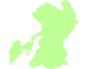
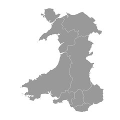 Grey map of Wales with counties. Vector illustration.
 -
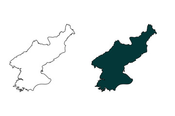 North korea map outline and silhouette isolated on transparent background.
 -
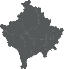 Vector regional blank map of Kosovo with districts and administrative divisions. Editable and clearly labeled layers.
 -
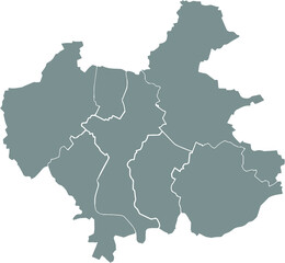
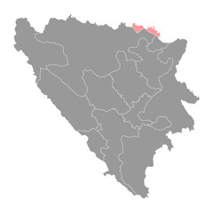 Posavina canton map, administrative district of Federation of Bosnia and Herzegovina. Vector illustration.
 -
 South Sumatra (Sumatera Selatan), Indonesia – administrative vector map with city and regency boundaries (Web Mercator projection, PPT-compatible & fully editable)
 -
 Map of UCAYALI, a department of Peru, with its territorial divisions
 -
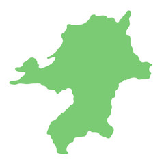
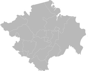
 熊本県・Kumamoto(市町村・区分け)
 -
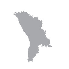 Moldova, vector map silhouette. gray on a white background.