Ulubione (0)
Koszyk
(0)
(0)
Brak produktów
Do ustalenia
Wysyłka
0,00 zł
Razem
Produkt dodany poprawnie do Twojego koszyka
Ilość
Razem
Ilość produktów w Twoim koszyku: 0.
Jest 1 produkt w Twoim koszyku.
Razem produkty:
Dostawa:
Do ustalenia
Razem
Fototapety na wymiar
-
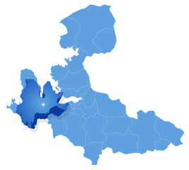
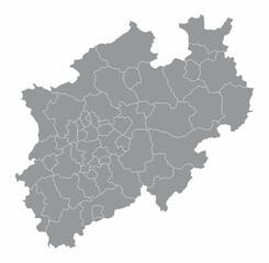 The North Rhine-Westphalia isolated map divided in districts, Germany
 -
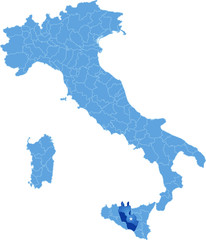 Map of Italy, Caltanissetta
 -
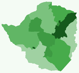 Map of Zimbabwe with regions. A simple country border map with regional divisions. Green color palette. Plain Zimbabwe shape with administrative division. Vector illustration.
 -
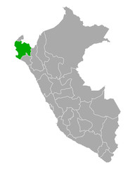 Karte von Piura in Peru
 -
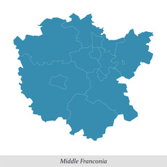 map of Middle Franconia is a region in Bavaria state of Germany
 -
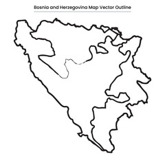 Bosnia and Herzegovina Map Vector Outline Editable Country Silhouette with Entity Borders
 -
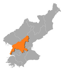 Map - North Korea, South Pyongan
 -
 Broxtowe grey district map of East Midlands England UK
 -
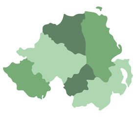 Northern Ireland map. Map of Northern Ireland divided into six main regions
 -
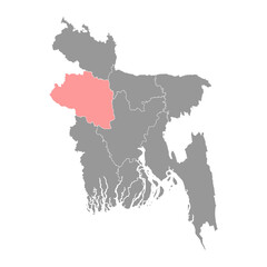 Rajshahi division map, administrative division of Bangladesh.
 -
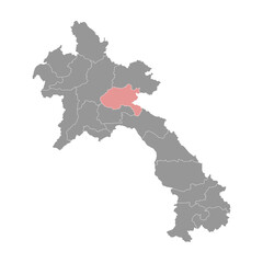 Xiangkhouang map, administrative division of Lao Peoples Democratic Republic. Vector illustration.
 -
 Tacna map, region in Peru. Vector Illustration.
 -
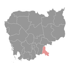 Svay Rieng province map, administrative division of Cambodia. Vector illustration.
 -
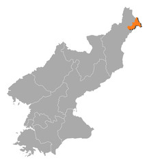 Map - North Korea, Rason
 -
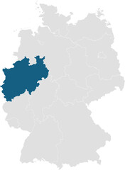 gray map of germany with 16 separated federal states, North Rhine-Westphalia highlighted blue
 -
 Map of Izmir - Urla is pulled out
 -
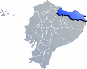 SUCUMBIOS DEPARTMENT MAP PROVINCE OF ECUADOR 3D ISOMETRIC MAP
 -
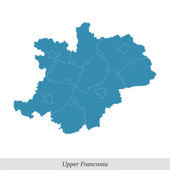 map of Upper Franconia is a region in Bavaria state of Germany
 -
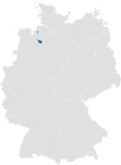 gray map of germany with 16 separated federal states, Bremen (Hanseatic City) highlighted blue
 -
 gray map of germany with 16 separated federal states, Bremen (Hanseatic City) highlighted blue
 -
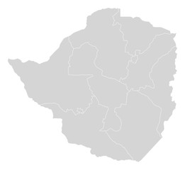 Map - Zimbabwe
 -
 South Korea map
 -
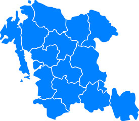
 Smolensk Oblast, Russia – administrative vector map with district boundaries (Web Mercator projection, PPT-compatible & fully editable)
 -
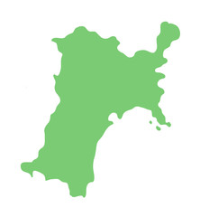 宮城県の地図
 -
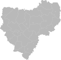
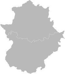 Extremadura, Spain – administrative vector map with province boundaries (Web Mercator projection, PPT-compatible & fully editable)
 -
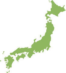 Vector Map of Japan for Travel and Tourism
 -
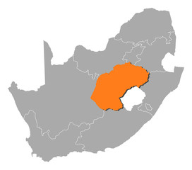 Map - South Africa, Free State
 -
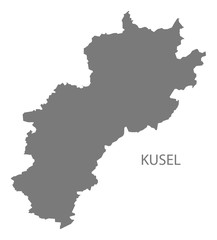 Kusel grey county map of Rhineland-Palatinate DE