Ulubione (0)
Koszyk
(0)
(0)
Brak produktów
Do ustalenia
Wysyłka
0,00 zł
Razem
Produkt dodany poprawnie do Twojego koszyka
Ilość
Razem
Ilość produktów w Twoim koszyku: 0.
Jest 1 produkt w Twoim koszyku.
Razem produkty:
Dostawa:
Do ustalenia
Razem
Fototapety na wymiar
-
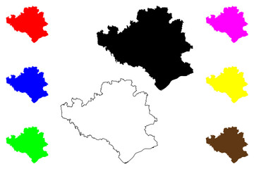 Rottal-Inn district (Federal Republic of Germany, rural district Lower Bavaria, Free State of Bavaria) map vector illustration, scribble sketch Rottal Inn map
 -
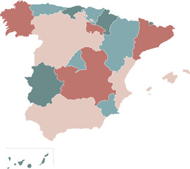 Detailed map illustration of the country of Spain
 -
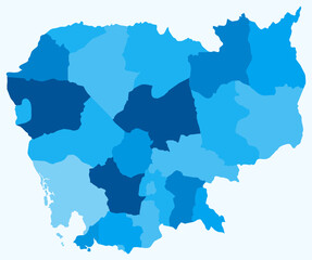 Map of Cambodia with regions. Just a simple country border map with region division. Light blue color palette. Blank Cambodia shape with administrative division. Vector illustration.
 -
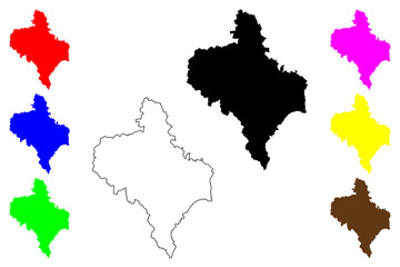 Ivano-Frankivsk Oblast (Administrative divisions of Ukraine, Oblasts of Ukraine) map vector illustration, scribble sketch Prykarpattia (Stanislavshchyna or Stanislavivshchyna) map
 -
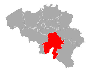 Karte von Namur in Belgien
 -
 Malaga City (Kingdom of Spain, Andalusia) map vector illustration, scribble sketch City of Malaga map
 -
 Guiyang City (People's Republic of China, Guizhou Province) map vector illustration, scribble sketch City of Kuei-yang or Kweiyang map
 -
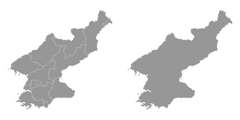 North Korea map with administrative divisions. Vector illustration.
 -
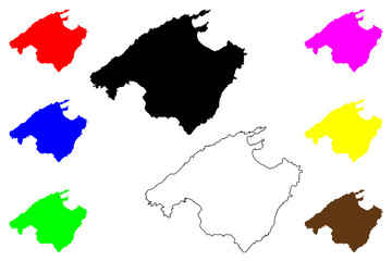 Mallorca island (Kingdom of Spain, Balearic Islands) map vector illustration, scribble sketch Majorca map
 -
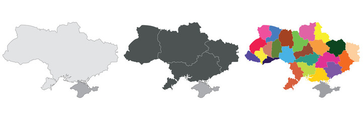 Ukraine map. Map of Ukraine in set
 -
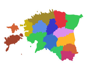 Karte von Estland
 -
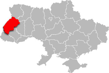 lviv map PROVINCE of UKRAINE 3d isometric map
 -
 Karte von Extremadura in Spanien
 -
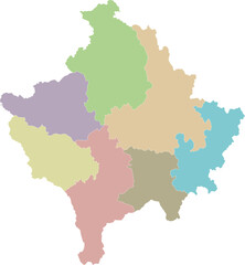 Vector regional blank map of Kosovo with districts and administrative divisions. Editable and clearly labeled layers.
 -
 Pavia province (Italy, Italian Republic, Lombardy region) map vector illustration, scribble sketch Province of Pavia map
 -
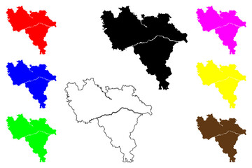
 Tema city (Republic of Ghana, Greater Accra Region) map vector illustration, scribble sketch Tema map
 -
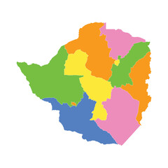 Zimbabwe Color Area Map
 -
 Isernia province (Italy, Italian Republic, Molise region) map vector illustration, scribble sketch Province of Isernia map
 -
 Colorful Ecuador map isolated on transparent background.
 -
 Guinea political map of administrative divisions - regions. Rainbow spectrum colorful blank vector map.
 -
 Afryka
 -
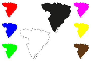
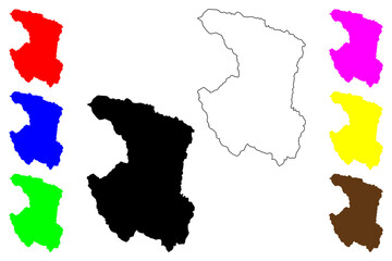 Xining city (People's Republic of China, PRC) map vector illustration, scribble sketch Sining Prefecture-level city map
 -
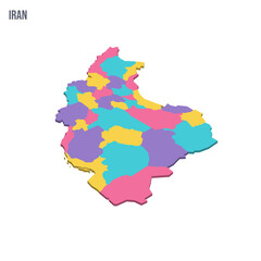 Iran political map of administrative divisions - provinces. Colorful isometric blank vector map.
 -
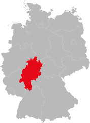 Hesse state isolated on Germany map. Business concepts and backgrounds.
 -
 Vector isolated illustration of simplified administrative map of Portugal. Borders of the regions. Multi colored silhouettes
 -
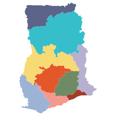 Ghana map. Map of Ghana in main regions in multicolor
 -
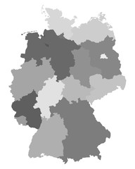 Karte von Deutschland
 -
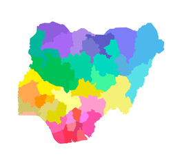 Vector isolated illustration of simplified administrative map of Nigeria. Borders of the regions. Multi colored silhouettes