Ulubione (0)
Koszyk
(0)
(0)
Brak produktów
Do ustalenia
Wysyłka
0,00 zł
Razem
Produkt dodany poprawnie do Twojego koszyka
Ilość
Razem
Ilość produktów w Twoim koszyku: 0.
Jest 1 produkt w Twoim koszyku.
Razem produkty:
Dostawa:
Do ustalenia
Razem
Fototapety na wymiar
-
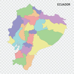 Isolated colored map of Ecuador with borders
 -
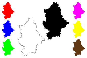
 Cherkasy Oblast (Administrative divisions of Ukraine, Oblasts of Ukraine) map vector illustration, scribble sketch Cherkasy map
 -
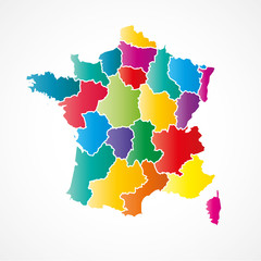 france
 -
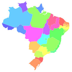
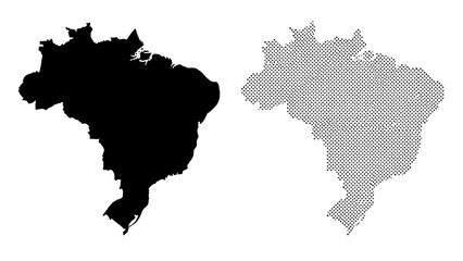
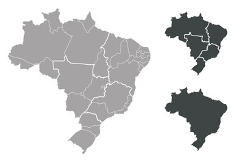 Map of Brazil
 -
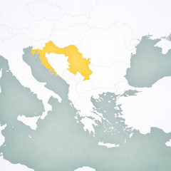 Map of Balkans - Serbia and Croatia
 -
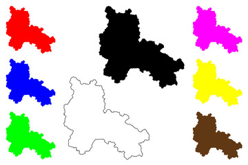
 Donetsk Oblast (Administrative divisions of Ukraine, Oblasts of Ukraine) map vector illustration, scribble sketch Donechyna map
 -
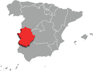 extremadura map ADMINISTRATIVE DIVISIONS of SPAIN 3d isometric map
 -
 Bangladesh map multiple fill illustration
 -
 近畿地方 色分け
 -
 Ordu (Provinces of the Republic of Turkey) map vector illustration, scribble sketch Ordu ili map
 -
 Lang Son Province (Socialist Republic of Vietnam, Subdivisions of Vietnam) map vector illustration, scribble sketch Tinh Lang Son map
 -
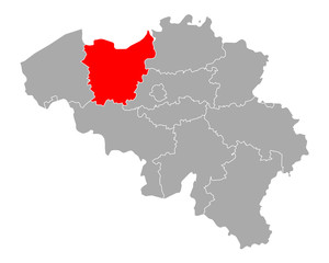 Karte von Ostflandern in Belgien
 -
 ブラジル 地図 カラフル アイコン
 -
 大分県 地図 黄緑 イラスト
 -
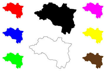
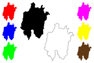
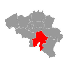 Namur of Belgium map symbol, travel web flat concept icon vector illustration
 -
 Daejeon (South Korea, Republic of Korea, ROK, Special cities of South Korea) map vector illustration, scribble sketch Daejeon Metropolitan City map
 -
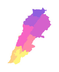 Vector isolated illustration of simplified administrative map of Lebanon. Borders of the governorates (regions). Multi colored silhouettes
 -
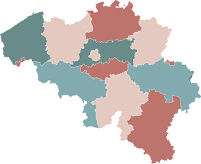 Belgium Map with Administrative Districts and Topographic Terrain
 -
 Siauliai City (Republic of Lithuania) map vector illustration, scribble sketch City of Siauliai map
 -
 Solothurn canton isolated on Switzerland map. Gray background. Backgrounds and Wallpapers.
 -
 map of Middle Franconia is a region in Bavaria state of Germany
 -
 Simplified dark map of burundi with district borders on white background
 -
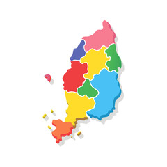 Colorful Vector Map Geopolitical Divisions and Regional Borders Illustration for Cartography Projects
 -
 Set of IRELAND Maps with Main Map and Regional maps
 -
 Brazil Map Silhouette and Geometric Dotted Outline Isolated on White – Vector Illustration
 -
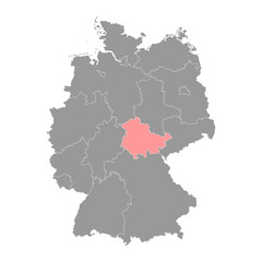 Thuringia state map. Vector illustration.
 -
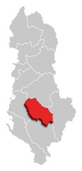 BERAT MAP COUNTY OF ALBANIA 3D ISOMETRIC MAP
 -
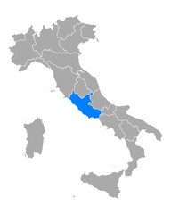 Karte von Latium in Italien