Ulubione (0)
Koszyk
(0)
(0)
Brak produktów
Do ustalenia
Wysyłka
0,00 zł
Razem
Produkt dodany poprawnie do Twojego koszyka
Ilość
Razem
Ilość produktów w Twoim koszyku: 0.
Jest 1 produkt w Twoim koszyku.
Razem produkty:
Dostawa:
Do ustalenia
Razem
Fototapety na wymiar
-
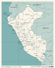 Peru Map - Vintage Vector Illustration
 -
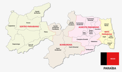 paraiba administrative and political map with flag
 -
 Large and detailed map of Mariposa county in California, USA
 -
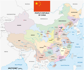 Color map of administrative divisions of China with flag
 -
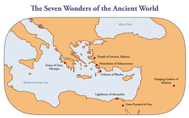 Map with the seven wonders of the ancient world
 -
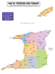 American Countries Geography Political map. Political map of country with capital, province or state capital, major cities and town.
 -
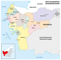 Administrative map of the Indonesian province of West Kalimantan, Borneo
 -
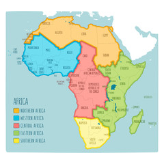 Colorful hand drawn political map of Africa with five regions
 -
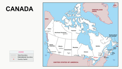 Canada Map. State and district map of Canada. Administrative map of Canada with district and capital in white color.
 -
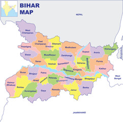 Bihar map vector illustration with white background
 -
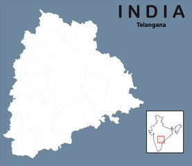
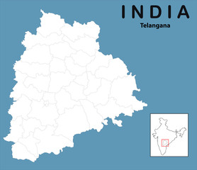 vector illustration of Telangana map outline
 -
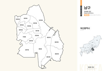 부산광역시 남구 행정구역 윤곽선 지도
 -
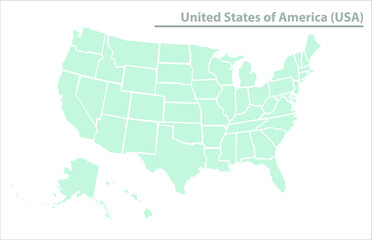 United State of America map illustration vector detailed USA map
 -
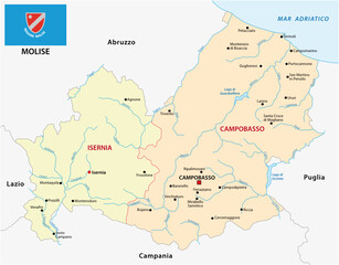 Molise administrative and political map with flag, Italy
 -
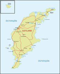 Gotland (Schweden)
 -
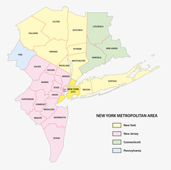 new york metropolitan area map
 -
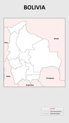 Bolivia Map. Political map of Bolivia with state border in outline. Political map of Bolivia with outline and neighbouring countries.
 -
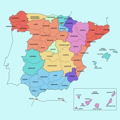 political map of spain
 -
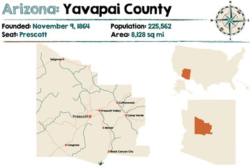 Large and detailed map of Yavapai county in Arizona.
 -
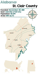 Large and detailed map of St. Clair County in Alabama.
 -
 vector illustration of Telangana map outline
 -
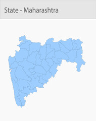 Mumbai_city-Maharashtra_Map detailed map illustration graphic for educational reference, geographic visualization, design layouts, presentations, digi
 -
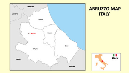 Abruzzo Map. Political map of Abruzzo with boundaries in white color.
 -
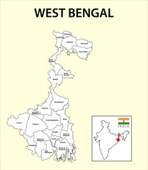 West Bengal map. Political and administrative map of West Bengal with districts name. Showing International and State boundary and district boundary of Assam. Illustration of districts Kolkata map.
 -
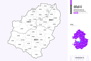 경기도 성남시 법정동 윤곽선 지도
 -
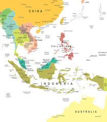 Southeast Asia - map - illustration. Southeast Asia map - highly detailed vector illustration.
 -
 전라북도 익산시 행정동 윤곽선 지도
 -
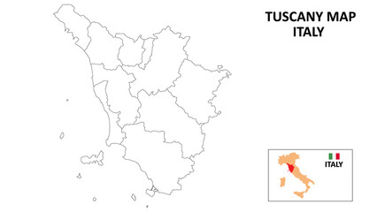 Tuscany Map. State and district map of Tuscany. Political map of Tuscany with outline and black and white design.