Ulubione (0)
Koszyk
(0)
(0)
Brak produktów
Do ustalenia
Wysyłka
0,00 zł
Razem
Produkt dodany poprawnie do Twojego koszyka
Ilość
Razem
Ilość produktów w Twoim koszyku: 0.
Jest 1 produkt w Twoim koszyku.
Razem produkty:
Dostawa:
Do ustalenia
Razem
Fototapety na wymiar
-
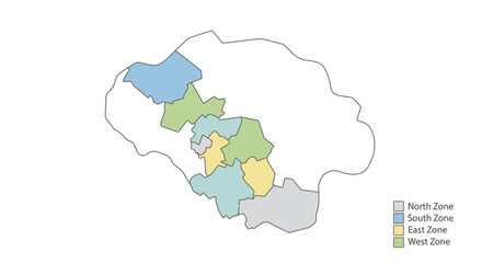 Zoned Regional Map with Directional Legend Vector
 -
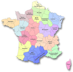 Nouvelles régions de France
 -
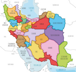 Vector illustrated map of Iran with provinces and administrative divisions, and neighbouring countries. Editable and clearly labeled layers.
 -
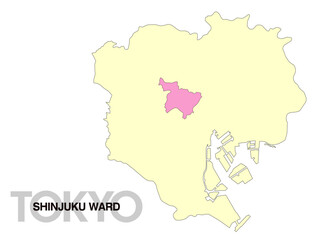 東京都新宿区の位置地図 区境無し 03
 -
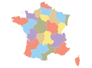 Map of France by region in different colors.
 -
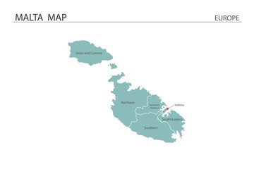 Malta map vector illustration on white background. Map have all province and mark the capital city of Malta.
 -
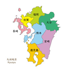 九州地方、九州地方の各県の地図、日本語の県名入り
 -
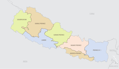 Detailed map of Nepal with administrative divisions and borders of neighboring countries, vector illustration on white background
 -
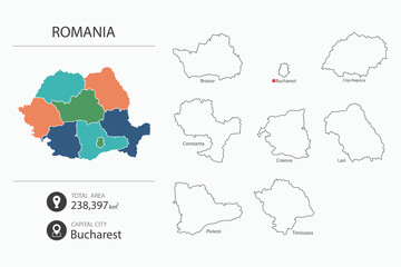 Map of Romania with detailed country map. Map elements of cities, total areas and capital.
 -
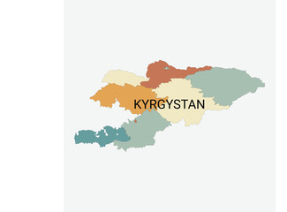 Kyrgyzstan vector map with administrative divisions
 -
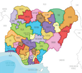 Vector illustrated regional map of Nigeria with states and administrative divisions, and neighbouring countries and territories. Editable and clearly labeled layers.
 -
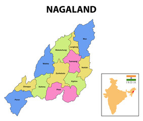 Nagaland map. District map of Nagaland. Nagaland map with district and capital. Colour full district map of Nagaland.
 -
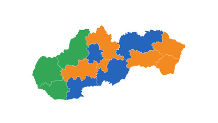 Slovakia regions map colored
 -
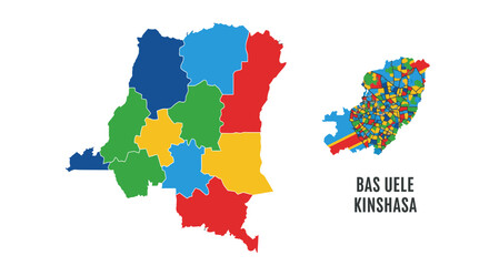 Democratic Republic of the Congo Map Vector Illustration with Regional Administrative Districts and Colorful Stylized Geographic Data Visualization Graphic
 -
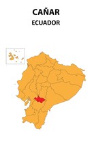 Cañar Map is highlighted on the Ecuador map with detailed state and region outlines.
 -
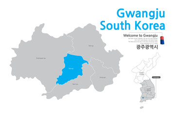 14.Gwangju, Gwangju City, Korea, Gwangju Map, Gwangju Korea, Gwangju city map,
 -
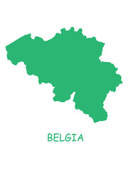 Belgium map graphic
 -
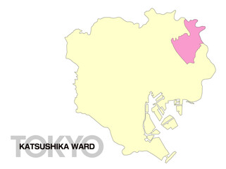 東京都葛飾区の位置地図 区境無し 02
 -
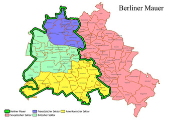 Map of Berlin Wall course with small Districts (Ortsteile)
 -
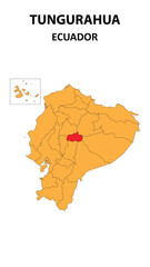 Tungurahua Map is highlighted on the Ecuador map with detailed state and region outlines.
 -
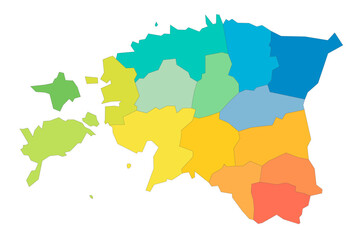 Estonia political map of administrative divisions - counties. Rainbow spectrum colorful blank vector map.
 -
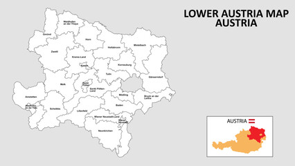 Lower Austria Map. State and district map of Lower Austria. Administrative map of Lower Austria with district and capital in white color.
 -
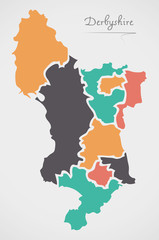 Derbyshire England Map with states and modern round shapes
 -
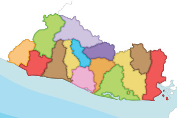 Vector illustrated regional blank map of El Salvador with departments and administrative divisions, and neighbouring countries and territories. Editable and clearly labeled layers.
 -
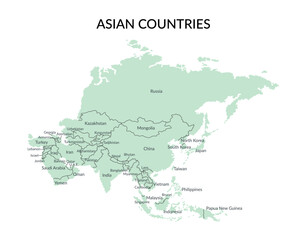 Asian countries borders and names isolated on white background. Vector template.
 -
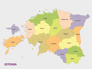 Map of Estonia showing administrative divisions
 -
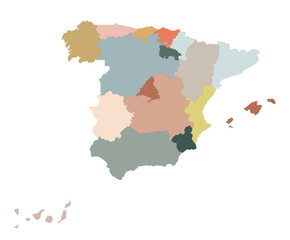 Spain maps with administrations regions, , multicolor map of Spain. Vector
 -
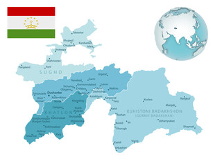 Tajikistan administrative blue-green map with country flag and location on a globe.