Ulubione (0)
Koszyk
(0)
(0)
Brak produktów
Do ustalenia
Wysyłka
0,00 zł
Razem
Produkt dodany poprawnie do Twojego koszyka
Ilość
Razem
Ilość produktów w Twoim koszyku: 0.
Jest 1 produkt w Twoim koszyku.
Razem produkty:
Dostawa:
Do ustalenia
Razem
Fototapety na wymiar
-
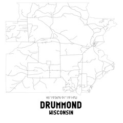 Drummond Wisconsin. US street map with black and white lines.
 -
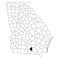 Map of lanier County in Georgia state on white background. single County map highlighted by black colour on Georgia map. UNITED STATES, US
 -
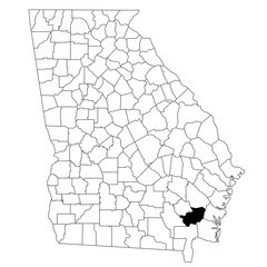 Map of Brantley County in Georgia state on white background. single County map highlighted by black colour on Georgia map. UNITED STATES, US
 -
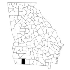 Map of Grady County in Georgia state on white background. single County map highlighted by black colour on Georgia map. UNITED STATES, US
 -
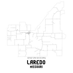 Laredo Missouri. US street map with black and white lines.
 -
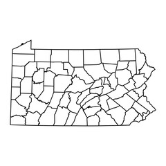 Pennsylvania state map with counties. Vector illustration.
 -
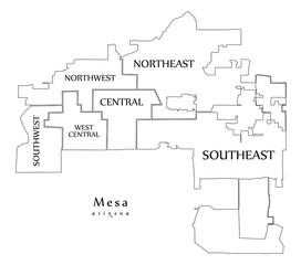 Modern City Map - Mesa Arizona city of the USA with neighborhoods and titles outline map
 -
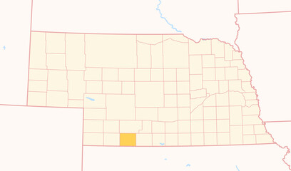 Map of the County Red Willow (Nebraska, US) showing the Federal State with the highlighted County
 -
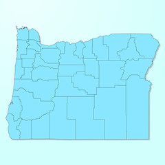 Oregon blue map on degraded background vector
 -
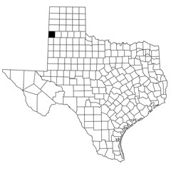 Map of parmer County in Texas state on white background. single County map highlighted by black colour on Texas map. UNITED STATES, US
 -
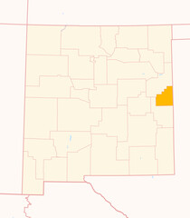 Map of the County Curry (New Mexico, US) showing the Federal State with the highlighted County
 -
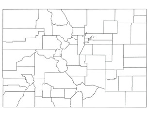 Colorado administrative map. counties map of Colorado, blank Map, empty map of Colorado
 -
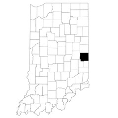 Map of Wayne County in Indiana state on white background. single County map highlighted by black colour on Indiana map. UNITED STATES, US
 -
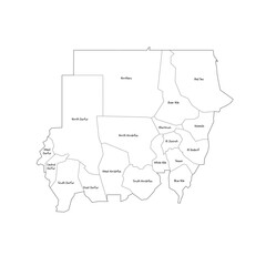 Sudan political map of administrative divisions - states. Handdrawn doodle style map with black outline borders and name labels.
 -
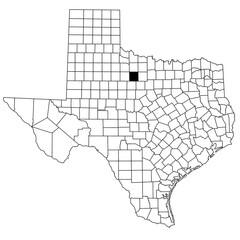
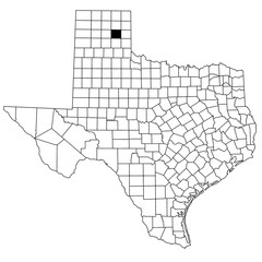 Map of gray County in Texas state on white background. single County map highlighted by black colour on Texas map. UNITED STATES, US
 -
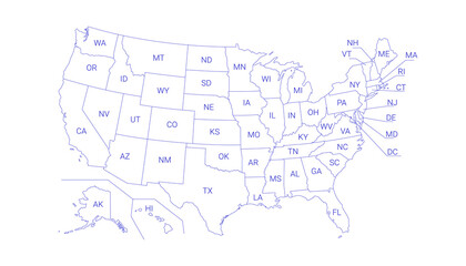 Outline Political US Map with titles of the states. All USA regions are separated and named in a layer panel.
 -
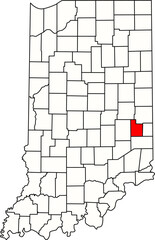 Detailed vector map of Indiana highlighting Fayette County, an East Central Indiana territory centered on Connersville, known for its historical manufacturing base and rural setting.
 -
 Simplified Outline Map of the United States Including Hawaii and Alaska, Ideal for Educational Purposes, Presentations, and Design Projects
 -
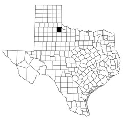 Map of cottle County in Texas state on white background. single County map highlighted by black colour on Texas map. UNITED STATES, US
 -
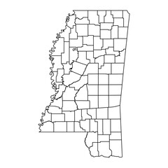 Mississippi state map with counties. Vector illustration.
 -
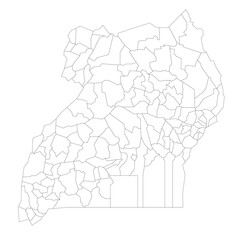 Uganda political map of administrative divisions
 -
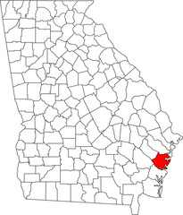 Detailed vector map of Georgia highlighting McIntosh County, a southeastern coastal territory bordering the Atlantic Ocean, noted for its extensive marshlands and the Gullah Geechee heritage.
 -
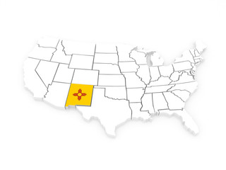 Three-dimensional map of New Mexico. USA.
 -
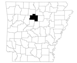 Map of Van buren County in Arkansas state on white background. Single county map highlighted by black colour on Arkansas map. UNITED STATES, US
 -
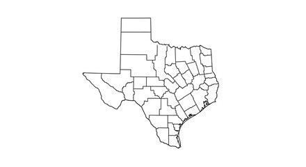 Texas State Map Detailed Outline Showing Counties and Borders for Geography and Education
 -
 Map of throckmorton County in Texas state on white background. single County map highlighted by black colour on Texas map. UNITED STATES, US
 -
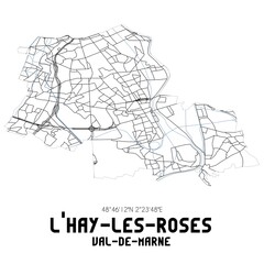 Black and white map of L'Ha�-les-Roses, Val-de-Marne, France.
 -
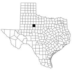 Map of fisher County in Texas state on white background. single County map highlighted by black colour on Texas map. UNITED STATES, US