Ulubione (0)
Koszyk
(0)
(0)
Brak produktów
Do ustalenia
Wysyłka
0,00 zł
Razem
Produkt dodany poprawnie do Twojego koszyka
Ilość
Razem
Ilość produktów w Twoim koszyku: 0.
Jest 1 produkt w Twoim koszyku.
Razem produkty:
Dostawa:
Do ustalenia
Razem
Fototapety na wymiar
-
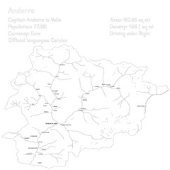 Detailed map and infographic of Andorra
 -
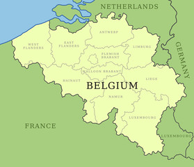 Belgium provinces map
 -
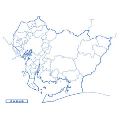
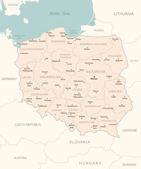 Poland - detailed map with administrative divisions country.
 -
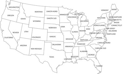 Vector Map United State
 -
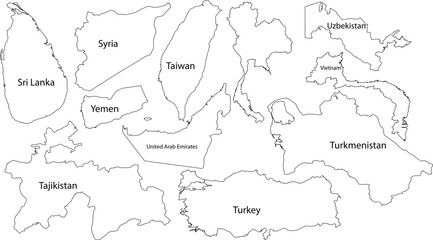 Asian and Middle Eastern Country Outlines With Labels Keywords: world map, countries, continents
 -
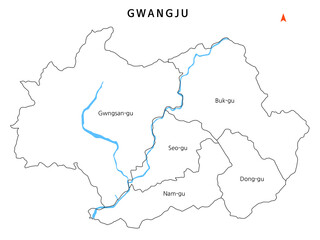 대한민국 광주광역시 자치구 경계선이 있는 지도
 -
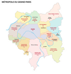 Metropolis of Greater Paris administrative and political vector map
 -
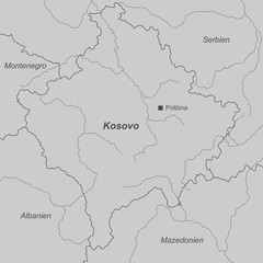 Kosovo in Grau (beschriftet)
 -
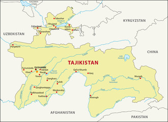 Tajikistan map
 -
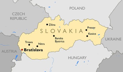 Slovakia map
 -
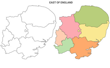 East Anglia map, East of England Administrative Map Set - blank outline map
 -
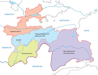 Tajikistan's Map
 -
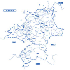
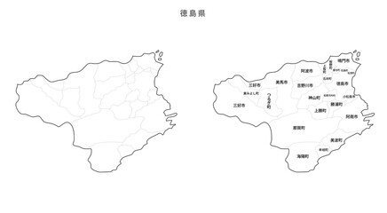 日本 白地図 徳島県(市区町村)
 -
 White vector map of the island of Antigua with black borders and names of it's parishes
 -
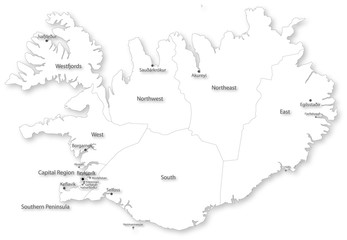 Simple vector map of Iceland with regions & cities
 -
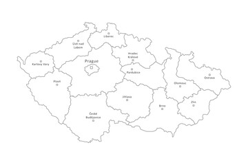 Czech Republic outline map with regions border and big cities isolated on white. Administrative division of thin black line contour. Vector for banner background design, czech events illustration.
 -
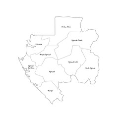 Gabon political map of administrative divisions - provinces. Handdrawn doodle style map with black outline borders and name labels.
 -
 福岡県地図 シンプル白地図 市区町村
 -
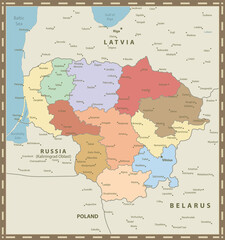 Lithuania Map Vintage Colors
 -
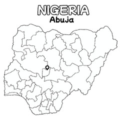 Outline of the Nigeria Map with State Boundaries with name and capital city for Educational Purposes and Planning in transparent and vector
 -
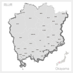 筆で描いた岡山県
 -
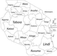 White blank vector map of the United Republic of Tanzania with black borders and names of its regions
 -
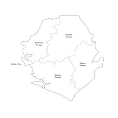 Sierra Leone political map of administrative divisions - provinces and one area. Handdrawn doodle style map with black outline borders and name labels.
 -
 愛知県地図 シンプル白地図 市区町村
 -
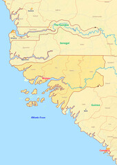 Guinea-Bissau map with cities streets rivers lakes
 -
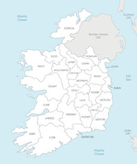 Vector map of Ireland with counties and administrative divisions, and neighbouring countries. Editable and clearly labeled layers.
 -
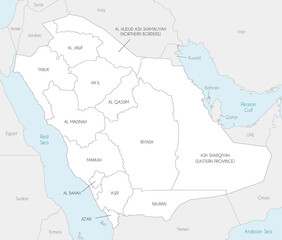 Vector map of Saudi Arabia with provinces and administrative divisions, and neighbouring countries. Editable and clearly labeled layers.
 -
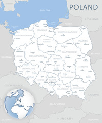 Blue-gray detailed map of Poland and administrative divisions and location on the globe. Vector illustration