Ulubione (0)
Koszyk
(0)
(0)
Brak produktów
Do ustalenia
Wysyłka
0,00 zł
Razem
Produkt dodany poprawnie do Twojego koszyka
Ilość
Razem
Ilość produktów w Twoim koszyku: 0.
Jest 1 produkt w Twoim koszyku.
Razem produkty:
Dostawa:
Do ustalenia
Razem
Fototapety na wymiar
-
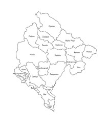 Vector isolated illustration of simplified administrative map of Montenegro. Borders and names of the regions. Black line silhouettes
 -
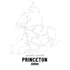 Princeton Idaho. US street map with black and white lines.
 -
 Detailed outline map of Burkina Faso highlighting its political divisions. The map presents the geographic layout without color, showcasing regions and borders clearly.
 -
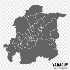 Blank map Yaracuy State of Venezuela. High quality map Yaracuy State with municipalities on transparent background for your design. Bolivarian Republic of Venezuela. EPS10.
 -
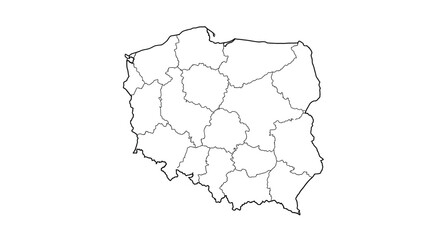 Poland Outline Map Detailed Vector of Polish Regions for Geography and Demographics
 -
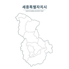 Sejong map. Map of South Korea with Major Cities, Clean Line Design on White Background.
 -
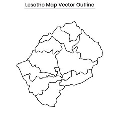 Lesotho Map Vector Outline Editable Country Silhouette with Districts
 -
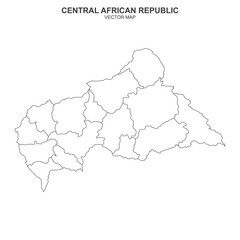 vector map of Central African Republic isolated on white background
 -
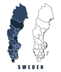 Sweden map regions border outline vector set
 -
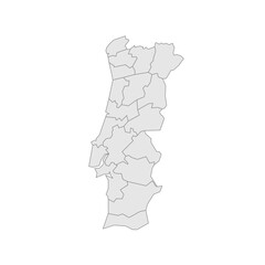 Portugal political map of administrative divisions - districts. Grey blank vector editable map EPS.
 -
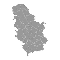 Serbia grey map with administrative districts. Vector illustration.
 -
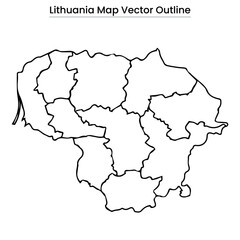 Lithuania Map Vector Outline Country Border, Regions, Editable Line Art
 -
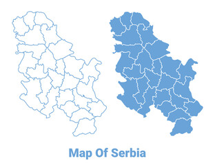 Serbia Blue map flat regions border outline vector illustration
 -
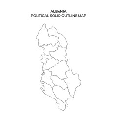 Outline map showing political divisions of Albania without labels
 -
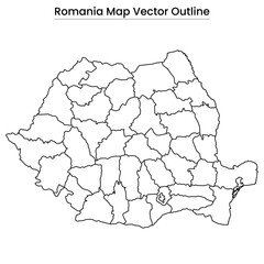 Romania Map Vector Outline Editable Country Silhouette with County Borders
 -
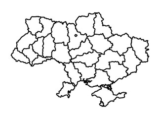 outline map of the world. blue and yellow flag. map of Ukraine. country symbol. flat icon or sign. vector illustration. war in Ukraine. world. Kyiv.
 -
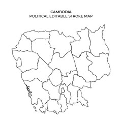 Outline of Cambodia showing its political divisions, perfect for educational and design purposes. The stroke map highlights provinces and borders for easy editing and customization.
 -
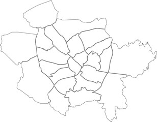 White flat blank vector administrative map of OSNABRÜCK, GERMANY with black border lines of its districts
 -
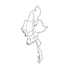 Myanmar provinces political map outline
 -
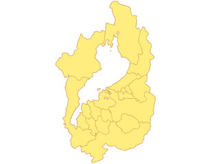 滋賀県 地図 黄色 イラスト
 -
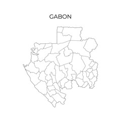 Simple black and white outline map of Gabon, displaying its regional divisions. Ideal for geography education, cartography, and study materials
 -
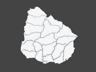 Map of Uruguay
 -
 Simple outline map of Luxembourg with regions. Vector graphic illustration.
 -
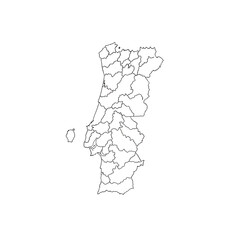 Art of outline map of portugal divided into its administrative regions, isolated on transparent background
 -
 A black line map of Burundi showing its administrative divisions, with the country name displayed above on a white background
 -
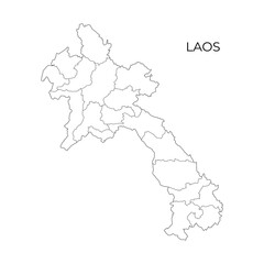 A simple black and white vector map outline of Laos showing its provinces and geographical divisions
 -
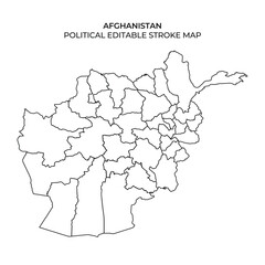 This illustration presents a clear outline of Afghanistans political divisions. The map highlights the provinces and territories, allowing for easy editing and customization for various purposes.
 -
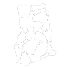 Ghana political map of administrative divisions