Ulubione (0)
Koszyk
(0)
(0)
Brak produktów
Do ustalenia
Wysyłka
0,00 zł
Razem
Produkt dodany poprawnie do Twojego koszyka
Ilość
Razem
Ilość produktów w Twoim koszyku: 0.
Jest 1 produkt w Twoim koszyku.
Razem produkty:
Dostawa:
Do ustalenia
Razem
Fototapety na wymiar
-
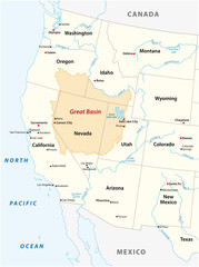 Vector map of the Great Basin in the western United States
 -
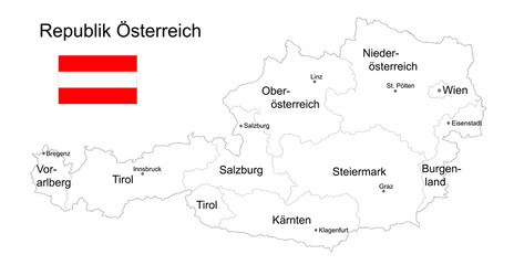 Landkarte Republik Österreich zum ausmalen, mit Flagge, Bundesländer, Städte und Hauptstädte, Vektor Illustration isoliert auf weißem Hintergrund
 -
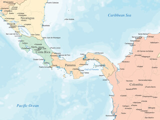 Political map highlighting Nicaragua, Costa Rica, Panama, and northern Colombia, showing country borders, major cities, and bodies of water such as the Caribbean Sea and the Pacific Ocean.
 -
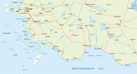 turkish riviera map
 -
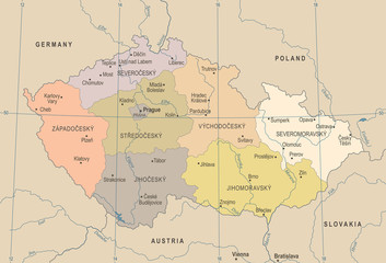 Czech Republic Map - Vintage Detailed Vector Illustration
 -
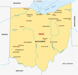 simple ohio state map
 -
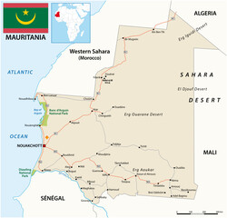 mauritania vector road map with flag
 -
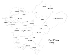 Large map of the turkish area of Ege Bölgesi.
 -
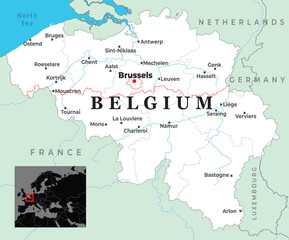 Map of Belgium showing major cities, borders with neighboring countries, and its placement in Western Europe
 -
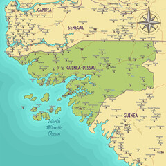 Map of Guinea-Bissau vintage fantasy style
 -
 Persian Gulf Map - Vintage Vector Illustration
 -
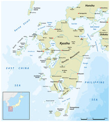 Vector map of the Japanese island of Kyushu
 -
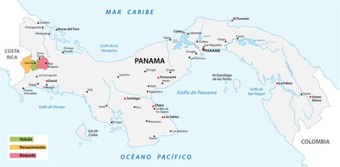 Map of the coffee growing areas of Panama
 -
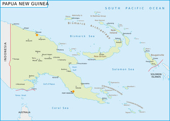 Papua-Neuguinea
 -
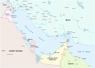
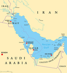 Persian Gulf region countries political map. Capitals, borders, cities and rivers. Iran, Iraq, Kuwait, Qatar, Bahrain, United Arab Emirates, Saudi Arabia, Oman. Illustration. English labeling. Vector.
 -
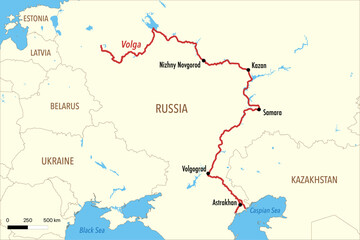 Vector Map of the Volga River Route with Major Cities and Delta in the Caspian Sea
 -
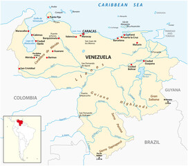 vector map of the Bolivarian Republic of Venezuela
 -
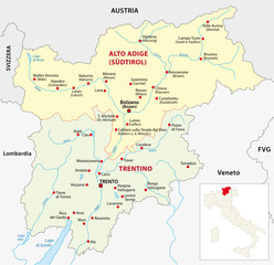 trentino administrative map
 -
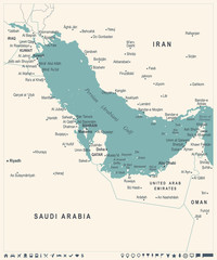
 Map of the Persian Gulf and its neighboring countries
 -
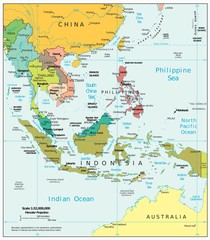 Southeast Asia political divisions
 -
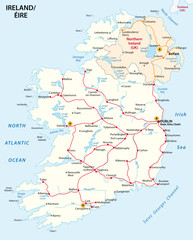 map of ireland with the rail route network
 -
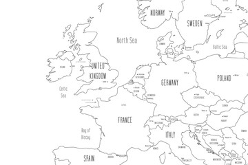 Map of Western Europe. Handdrawn doodle style. Vector illustration
 -
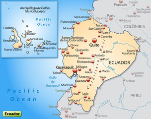 Umlandkarte von Ecuador mit Hauptstädten
 -
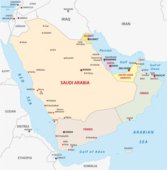 arabian peninsula map
 -
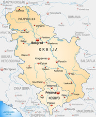 Map of Serbia with neighboring countries as an overview
 -
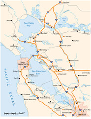 vector road map of Californias San Francisco Bay Area
 -
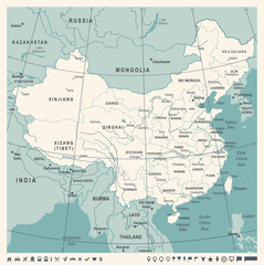 China Map - Vintage Vector Illustration
 -
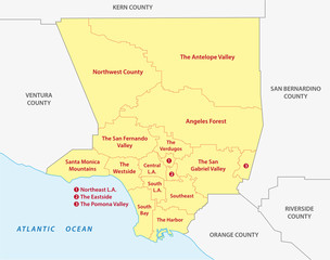 los angeles county regions map