Ulubione (0)
Koszyk
(0)
(0)
Brak produktów
Do ustalenia
Wysyłka
0,00 zł
Razem
Produkt dodany poprawnie do Twojego koszyka
Ilość
Razem
Ilość produktów w Twoim koszyku: 0.
Jest 1 produkt w Twoim koszyku.
Razem produkty:
Dostawa:
Do ustalenia
Razem
Fototapety na wymiar
-
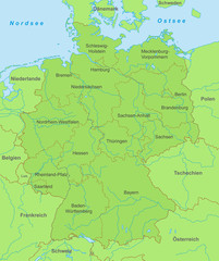 Karte von Deutschland - Grün
 -
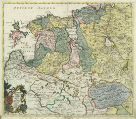 Russia old map
 -
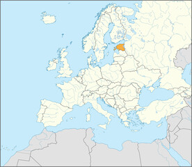 Orange CMYK national map of ESTONIA inside detailed beige blank political map of European continent with rivers and lakes on blue background using Mercator projection
 -
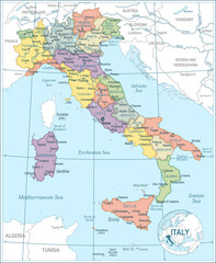 Map of Italy - highly detailed vector illustration
 -
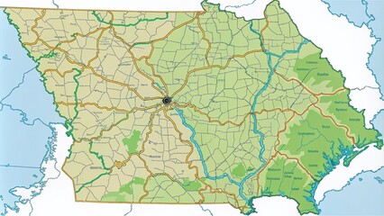 State of Georgia Outline Map - Highlighting Geographic Features and Borders for Educational and Creative Use
 -
 Carte de France - Régions, départements et préfectures
 -
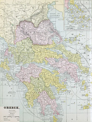 Old map. Engraving image
 -
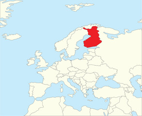 Red CMYK national map of FINLAND inside simplified beige blank political map of European continent on blue background using Winkel Tripel projection
 -
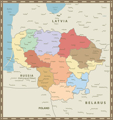 Lithuania Map Vintage Colors
 -
 Black blank vector silhouette world map | High detail flat earth template illustration isolated on white background | High resolution contour in Mercator projection
 -
 Europe Map
 -
 Gray silhouette map of the americas
 -
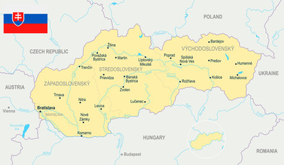 Slovakia Map - Detailed Vector Illustration
 -
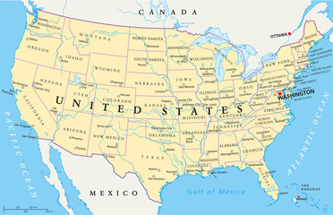 United States of America Political Map with single states
 -
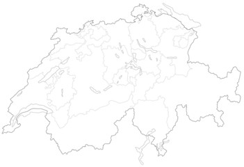 スイスの地図
 -
 Political map of Ukraine with borders of the regions. template for your design
 -
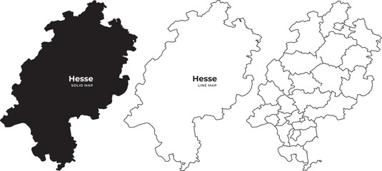 Three hesse maps in black and white with filled and outline styles
 -
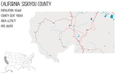 Large and detailed map of Siskiyou County in California, USA.
 -
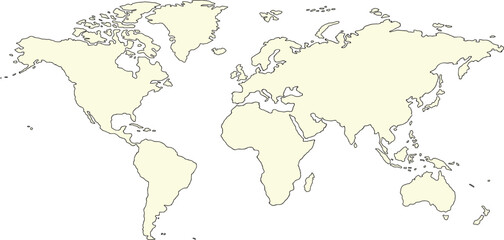
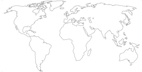 world map
 -
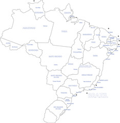 Labeled Map of Brazil with States and Capital Cities Vector Outline
 -
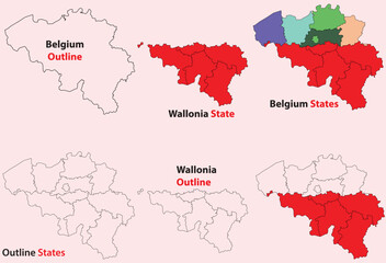 Wallonia map vector of Belgium, Wallonia line map, Wallonia with city map, Wallonia outline map
 -
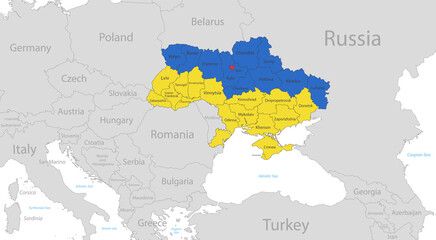 Map of the Ukraine in the colors of the flag with individual regions and capital city, with neighboring states with names vector
 -
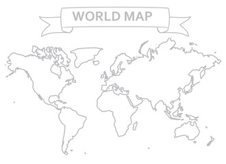 World map outline. vector illustration
 -
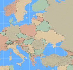
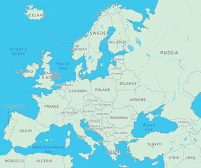 Europe map displaying countries, boundaries, and key landmarks across the continent
 -
 Croatia map - highly detailed vector illustration
 -
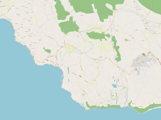 Saint Elizabeth, Jamaica. OSM. No legend
 -
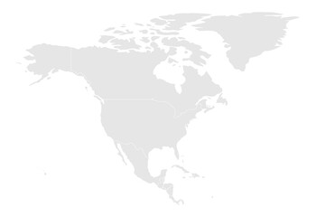
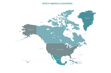 north america map. vector map of north america countries.
 -
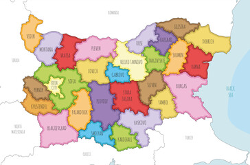 Vector illustrated regional map of Bulgaria with provinces and administrative divisions, and neighbouring countries and territories. Editable and clearly labeled layers.