Ulubione (0)
Koszyk
(0)
(0)
Brak produktów
Do ustalenia
Wysyłka
0,00 zł
Razem
Produkt dodany poprawnie do Twojego koszyka
Ilość
Razem
Ilość produktów w Twoim koszyku: 0.
Jest 1 produkt w Twoim koszyku.
Razem produkty:
Dostawa:
Do ustalenia
Razem
Fototapety na wymiar
-
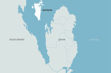 bahrain map. arab countries map. middle east countries map.
 -
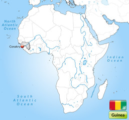 Übersichtskarte von Guinea mit Landesflagge
 -
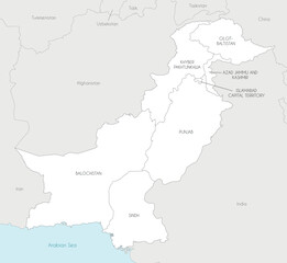 Vector regional map of Pakistan with provinces and territories and administrative divisions, and neighbouring countries and territories. Editable and clearly labeled layers.
 -
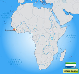
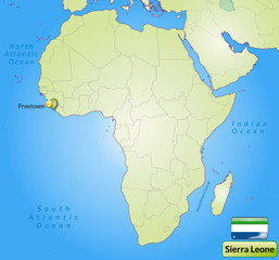 Übersichtskarte von Sierra Leone mit Landesflagge
 -
 Political map of Ukraine with borders of the regions. template for your design
 -
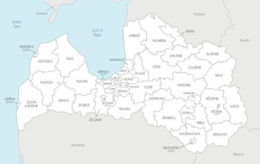 Vector regional map of Latvia with state cities and municipalities and administrative divisions, and neighbouring countries and territories. Editable and clearly labeled layers.
 -
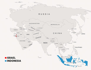 Indonesia and Israel Highlighted on Asia Map Showing Borders and Geographic Locations
 -
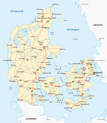 denmark road map
 -
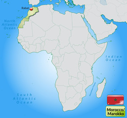 Übersichtskarte von Marokko mit Landesflagge
 -
 Location Map of Seychelles on map Africa. 3d Republic of Seychelles flag map marker location pin. High quality map Union of the Seychelles. Africa. EPS10.
 -
 Übersichtskarte von Sierra Leone mit Landesflagge
 -
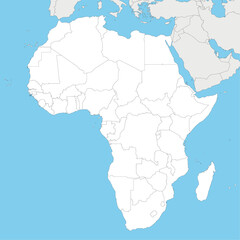 Blank Political Africa Map vector illustration with countries in white color. Editable and clearly labeled layers.
 -
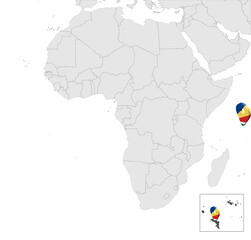
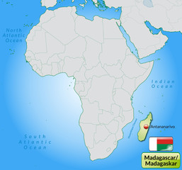 Übersichtskarte von Madagaskar mit Landesflagge
 -
 Location map of Italy in Europe with administrative divisions of the country, detailed vector illustration
 -
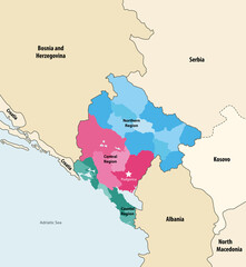 Montenegro municipalities vector map colored by regions with neighbouring countries and territories
 -
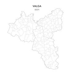 Geopolitical Vector Map of Valga County (Estonia) with Municipalities (Omavalitsused), and Settlements (Asulad) Administrative Subdivisions as of 2025 - Estonia
 -
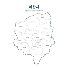 Asan map. Map of South Korea with Major Cities, Clean Line Design on White Background.
 -
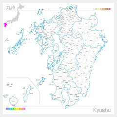 九州地方の地図・Kyushu(白地図風)
 -
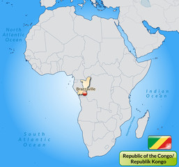 Übersichtskarte der Republik Kongo mit Gewässernetz
 -
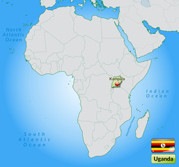 Übersichtskarte von Uganda mit Landesflagge
 -
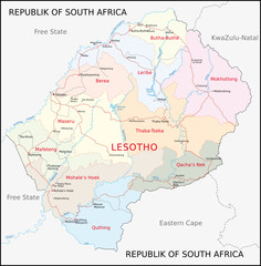 Lesotho
 -
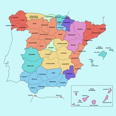 political map of spain
 -
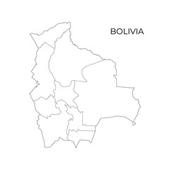 Black and white vector outline map of Bolivia, displaying its departments and borders, perfect for educational, political, and geographic reference
 -
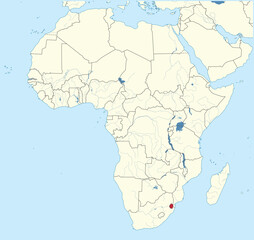 Detailed national location map of ESWATINI within the great continent of Africa
 -
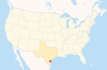 Location Map of the city Corpus Christi in Texas, USA. The state is marked orange and the city is highlighted with a red dot. No labels at all.
 -
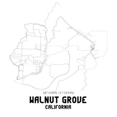 Walnut Grove California. US street map with black and white lines.
 -
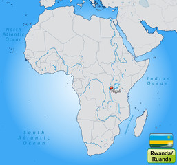 Übersichtskarte von Ruanda mit Landesflagge
 -
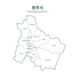 Wonju map. Map of South Korea with Major Cities, Clean Line Design on White Background.