Ulubione (0)
Koszyk
(0)
(0)
Brak produktów
Do ustalenia
Wysyłka
0,00 zł
Razem
Produkt dodany poprawnie do Twojego koszyka
Ilość
Razem
Ilość produktów w Twoim koszyku: 0.
Jest 1 produkt w Twoim koszyku.
Razem produkty:
Dostawa:
Do ustalenia
Razem
Fototapety na wymiar
-
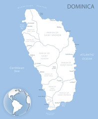 Blue-gray detailed map of Dominica administrative divisions and location on the globe.
 -
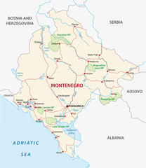 straßenkarte von Montenegro mit Nationalparks
 -
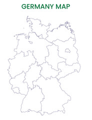 High detailed map of Germany. Outline map of Germany. Europe
 -
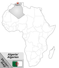
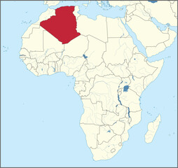 Vector illustration of the detailed national location map of ALGERIA within the great continent of Africa
 -
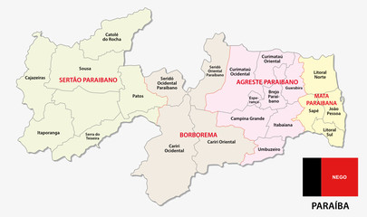 paraiba administrative and political map with flag
 -
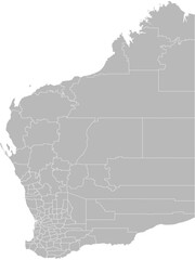 Western Australia – administrative vector map with local government area boundaries (GDA2020, PPT-compatible & fully editable)
 -
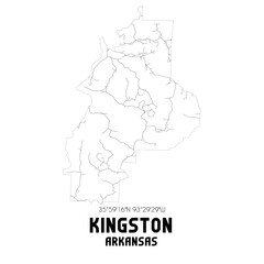 Kingston Arkansas. US street map with black and white lines.
 -
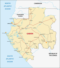 Gabon
Gabon -
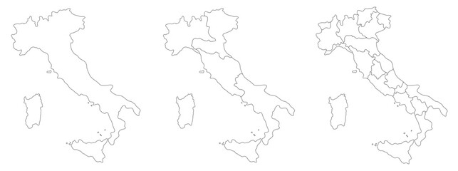 Map of Italy
 -
 Inselkarte von Algerien mit Hauptstädten in Grau
 -
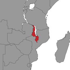 Malawi on world map. Vector illustration.
 -
 American Countries Geography Political map. Political map of country with capital, province or state capital, major cities and town.
 -
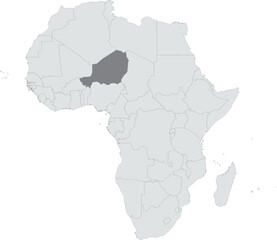 Detailed national location map of NIGER within the great continent of Africa
 -
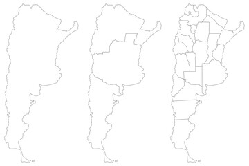 Argentina map. Map of Argentina in set
 -
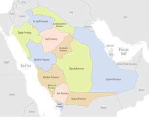 Detailed map of Saudi Arabia with administrative divisions and borders of neighboring countries, vector illustration on white background
 -
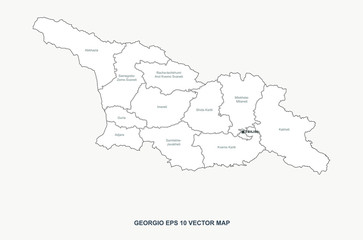 georgia map. vector map of georgia in european country.
 -
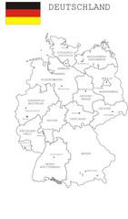 Deutschland
 -
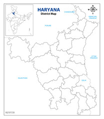 Haryana_map_3
 -
 Vredenburgh Alabama. US street map with black and white lines.
 -
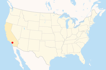 Location Map of the city Ontario in California, USA. The state is marked orange and the city is highlighted with a red dot. No labels at all.
 -
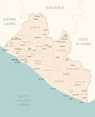 Liberia - detailed map with administrative divisions country.
 -
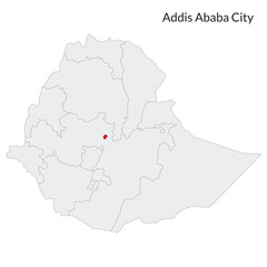 Ethiopia map. Map of Ethiopia with capital city Addis Ababa
 -
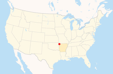 Location Map of the city Bentonville in Arkansas, USA. The state is marked orange and the city is highlighted with a red dot. No labels at all.
 -
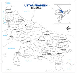 Uttar Pradesh political map, Indian State Map,
 -
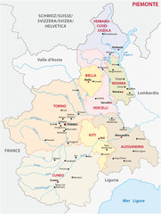 piedmont administrative map
 -
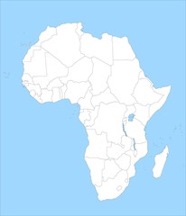 Karte von Afrika
 -
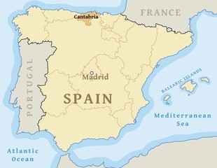 Cantabria autonomous community
 -
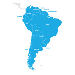 South America Region. Map of countries in southern America. Vector illustration