Ulubione (0)
Koszyk
(0)
(0)
Brak produktów
Do ustalenia
Wysyłka
0,00 zł
Razem
Produkt dodany poprawnie do Twojego koszyka
Ilość
Razem
Ilość produktów w Twoim koszyku: 0.
Jest 1 produkt w Twoim koszyku.
Razem produkty:
Dostawa:
Do ustalenia
Razem
Fototapety na wymiar
-
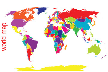
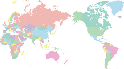
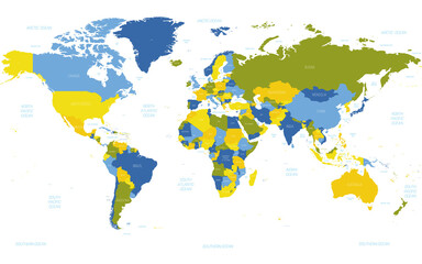
 A colorful world map with many different colors
 -
 world map background. Elements of this image furnished by NASA.
 -
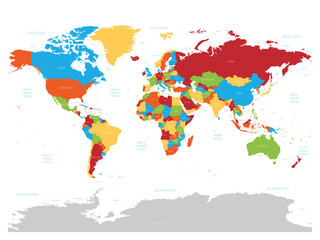
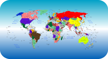
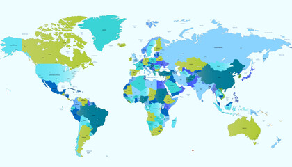
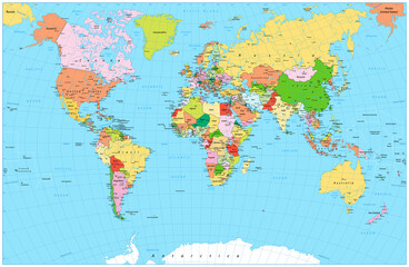 Large detailed political World Map with water objects
 -
 World Map. August's epicycloidal conformal projection. Futuristic world illustration for your infographic. Bright yellow country colors. Attractive vector illustration.
 -
 Political World map in Mercator projection, illustration
 -
 Dotted world map,color world map,Vector design illustration
 -
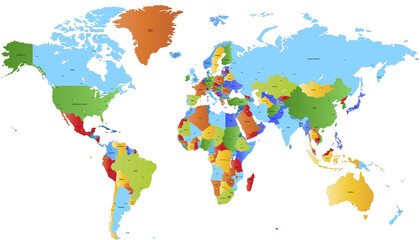
 High detailed political map of World
 -
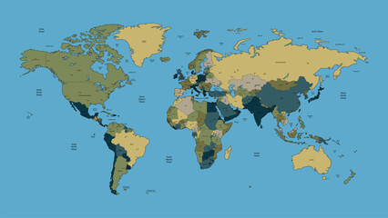
 America centered map of World
 -
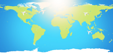
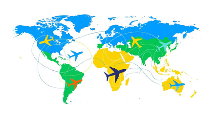 Illustration of a global tourism resilience concept with a colorful world map, icons of planes, trains, and ships, symbolizing travel and comeback on Global Tourism Resilience Day.
 -
 planet earth world map. Elements of this image furnished by NASA
 -
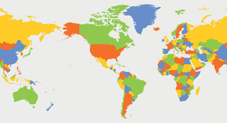
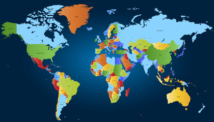
 Vector colorful political map of the World
 -
 World map. Color vector modern. Silhouette map.
 -
 World Map Highlighting Country of Poland With Geographic Details
 -
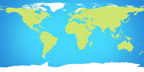
 World map displaying continents with different colors illustrating geography and global connections in a vibrant and informative way.
 -
 world country map. detailed colorful world map vector.
 -
 World map in bright tones
 -
 World map. Color vector modern. Silhouette map.
 -
 Wolrd Map Vector With Different Style. Simple Flat World Map Vector Design.
 -
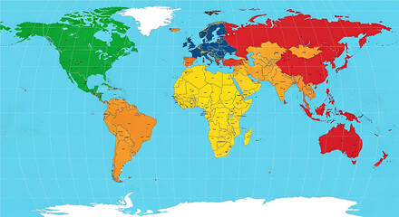
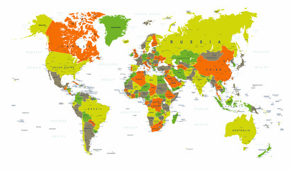 World Map Political Green Orange Vector
 -
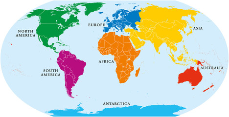 Seven continents world map. Asia, Africa, North and South America, Antarctica, Europe and Australia. Detailed map with shorelines and national borders under Robinson projection on white background.
 -
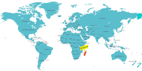 World Map Highlighting Country of Madagascar With Geographic Details
 -
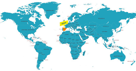 World Map Highlighting Country of Spain With Geographic Details
 -
 カラフルなドットの世界地図
 -
 World map. Color modern vector map. Silhouette map.
 -
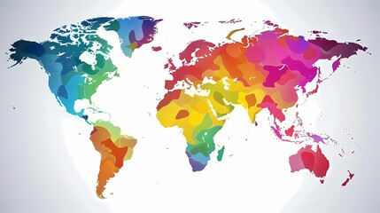
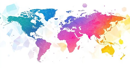 Colorful world map with polygonal design
 -
 World map. Silhouette map. Color vector modern.
 -
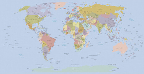
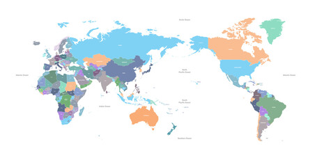
 World map. High detailed political map of World with country, ocean and sea names labeling. 5 colors scheme vector map on white background
 -
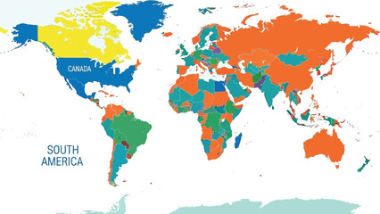 A colorful world map illustration displays different continents and countries in distinct colors, with labels for "CANADA" and "SOUTH AMERICA" visible.