Ulubione (0)
Koszyk
(0)
(0)
Brak produktów
Do ustalenia
Wysyłka
0,00 zł
Razem
Produkt dodany poprawnie do Twojego koszyka
Ilość
Razem
Ilość produktów w Twoim koszyku: 0.
Jest 1 produkt w Twoim koszyku.
Razem produkty:
Dostawa:
Do ustalenia
Razem
Fototapety na wymiar
-
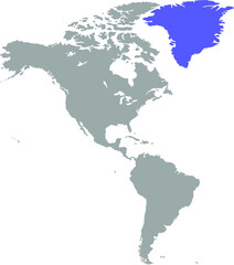 The map of greenland is highlighted in blue on the world map
 -
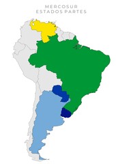 MERCOSUR - ESTADOS PARTES
 -
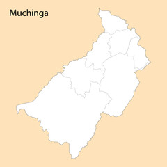 High Quality map of Muchinga is a region of Zambia
 -
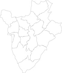 White Outline Map of Burundi with Provincial Borders Vector Illustration
 -
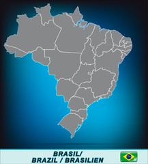
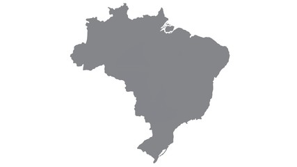 Brazil map with gray tone on white background,illustration,textured , Symbols of Brazil
 -
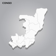 Congo 3d map with borders of regions
 -
 Perak, Malaysia – administrative vector map with level 2 district boundaries (Web Mercator projection, PPT-compatible & fully editable)
 -
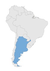 Argentina en América del sur
 -
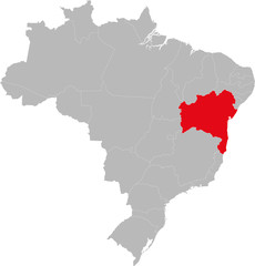
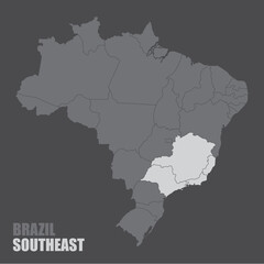 The Brazil map with the highlighted Southeast Region
 -
 Vector Illustration with African continent with borders of all states and marked country Uganda. Political map in brown colors with western, south and etc regions. Beige background
 -
 Karte von Brasilien mit Grenzen
 -
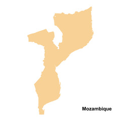 Mozambique country map vector isolated on transparent background
 -
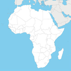 Blank Political Africa Map vector illustration with countries in white color. Editable and clearly labeled layers.
 -
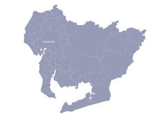 グレー色の日本地図, 愛知県の行政区分付き地図, Gray map of Japan, Aichi prefecture
 -
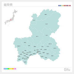 岐阜県の地図・Gifu・市町村名(市町村・区分け)
 -
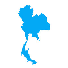 vector map of thailand
 -
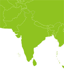 インドとパキスタン周辺の地図、ナチュラルな色
 -
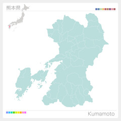 熊本県・Kumamoto(市町村・区分け)
 -
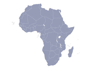 グレー色のアフリカ大陸の行政区分地図 (Map of Africa)
 -
 Outline blue map of Guangzhou
 -
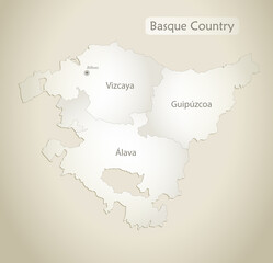 Basque Country map, administrative division with names, old paper background vector
 -
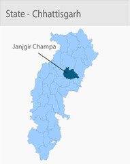 Janjgir_Champa-Chhattisgarh_Map_Chhattisgarh detailed map illustration graphic for educational reference, geographic visualization, design layouts, pr
 -
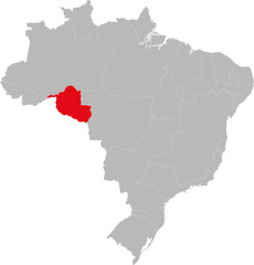 Rondônia state highlighted on Brazil map. Business concepts and backgrounds.
 -
 Gray vector map of the Kingdom of Lesotho with white borders of its districts
 -
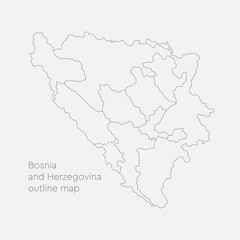 Vector map Bosnia Herzegovina divided on regions
 -
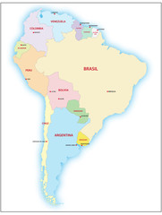 South america map
 -
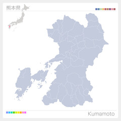 熊本県・Kumamoto
 -
 Bahia state highlighted on Brazil map. Business concepts and backgrounds.