Ulubione (0)
Koszyk
(0)
(0)
Brak produktów
Do ustalenia
Wysyłka
0,00 zł
Razem
Produkt dodany poprawnie do Twojego koszyka
Ilość
Razem
Ilość produktów w Twoim koszyku: 0.
Jest 1 produkt w Twoim koszyku.
Razem produkty:
Dostawa:
Do ustalenia
Razem
Fototapety na wymiar
-
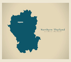 Modern Map - Northern Thailand TH
 -
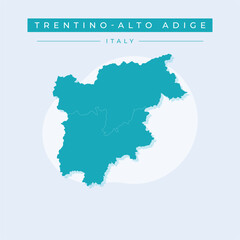 Vector illustration vector of Trentino-Alto Adige map Italy
 -
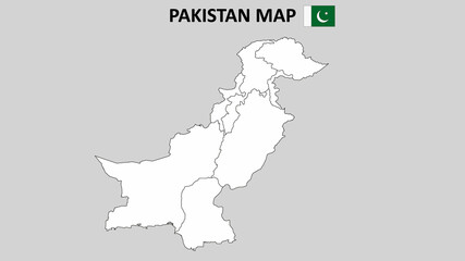 Pakistan Map. Pakistan Map with white background and line map.
 -
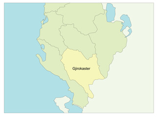 Map of Albania with Gjirokaster region
 -
 south america map. latin america vector map.
 -
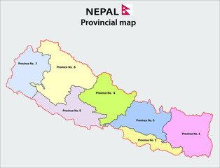 Nepal map. Political and administrative map of Nepal with districts name. Showing International and State boundary and district boundary of Nepal. Vector illustration of districts map.
 -
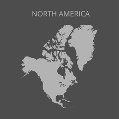 North America map. Vector illustration.
 -
 European Country Geography Political map. Political map of country with capital, province or state capital, major cities and town.
 -
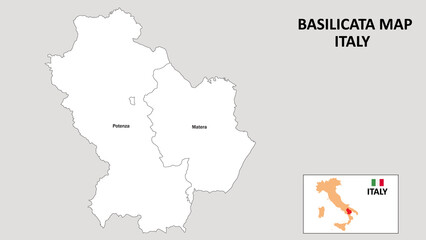 Basilicata Map. State and district map of Basilicata. Administrative map of Basilicata with district and capital in white color.
 -
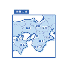 日本の地域図 関西広域 シンプル淡青
 -
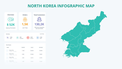 Business Growth Infographic Map of North Korea. Orders, Customers, Sales Overview & product Infographic Map of North Korea. Easy to edit
 -
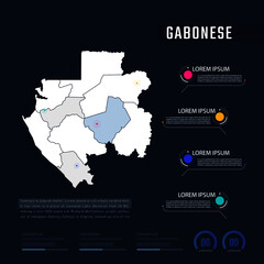 Gabonese country map infographics vector with pointer marks and circle chart. Editable Infographics template. Vector illustration
 -
 Zambia 3d map with borders of regions
 -
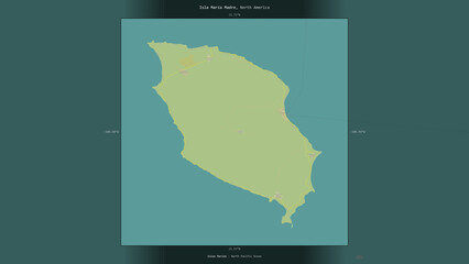 Isla Maria Madre, Mexico, highlighted and labelled. Topo Humanitarian
 -
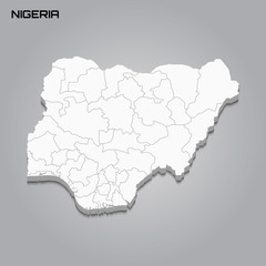 Nigeria 3d map with borders of regions
 -
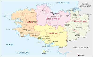 Bretagne, Administrativ
 -
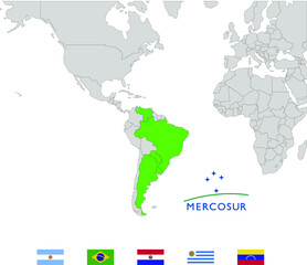 Map of Mercosur/Mercosul countries and flags
 -
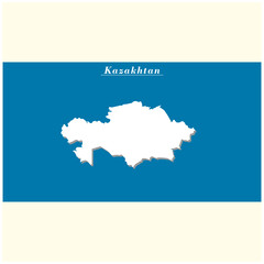 kazakhtan country map simple design
 -
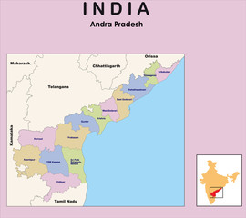 Andhra Pradesh map. vector illustration of Andhra Pradesh map with border outline in black colour.
 -
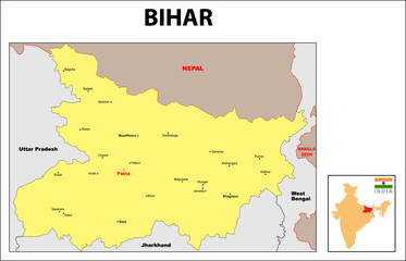 Bihar Map. Bihar District map 2020. Major cities in Bihar with detailed view. Bihar map with district and cities name 2020.
 -
 3d isometric map of Huehuetenango is a province of Guatemala
 -
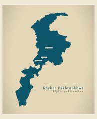 Modern Map - Khyber Pakhtunkhwa PK
 -
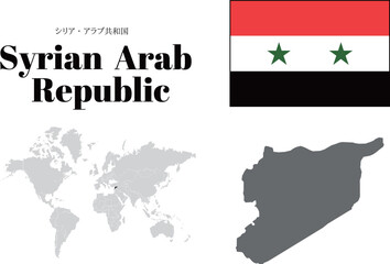 シリア 国旗/地図/領土
 -
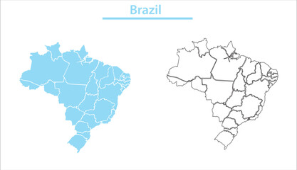 Brazil map illustration vector detailed Brazil map with all state names
 -
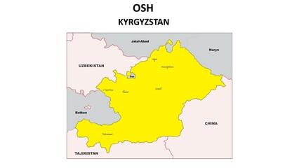 OSH Map. Major city map of OSH. Political map of OSH with country capital.
 -
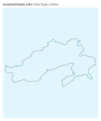 Arunachal Pradesh, India. Simple vector map. State shape. Outline style. Border of Arunachal Pradesh. Vector illustration.
 -
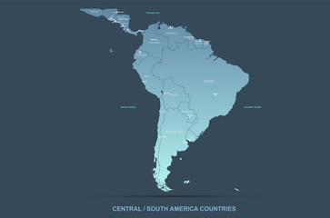
 American Countries Geography Political map. Political map of country with capital, province or state capital, major cities and town.
 -
 North Kalimantan, Indonesia - stroke map isolated on white background. Outline map. Vector map